51km. A successful stealth camp. I cooked breakfast on my portable wood stove, and was on the road by 8am. The roads are dirt and corrugated. Weaving all over the road to find part of track that I can ride on means I am only averaging 10km an hour.
I entered Lakefield park, and after 20km I got to Laura River Crossing. There I filtered 6 litres of water from the river, and stored it in my water bottles. This section of the river seemed not suitable for crocs, so I wasn’t too worried about collecting the water.
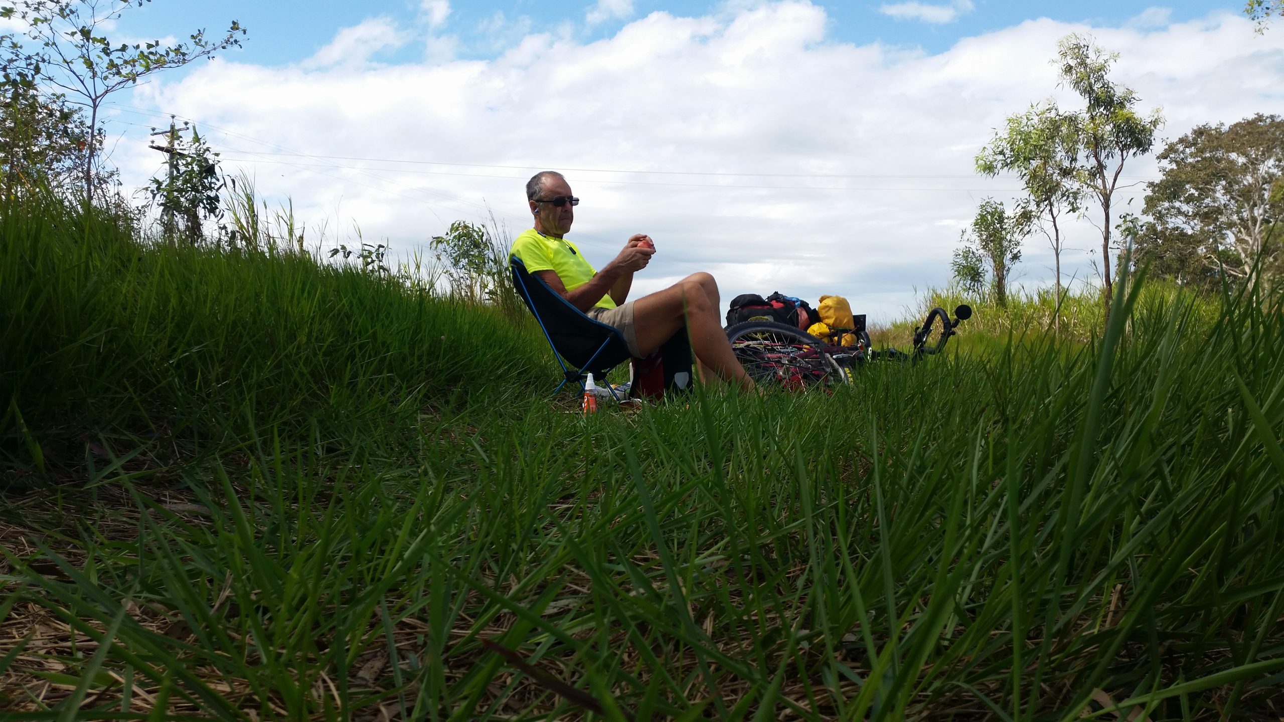
Then I turned north. I rode about 5km and stopped under shady trees for lunch. I had finished lunch when the park rangers turned up. I think they were checking I was OK and properly equipped. I mentioned camping and they said it would be fine if I just camped off the road.
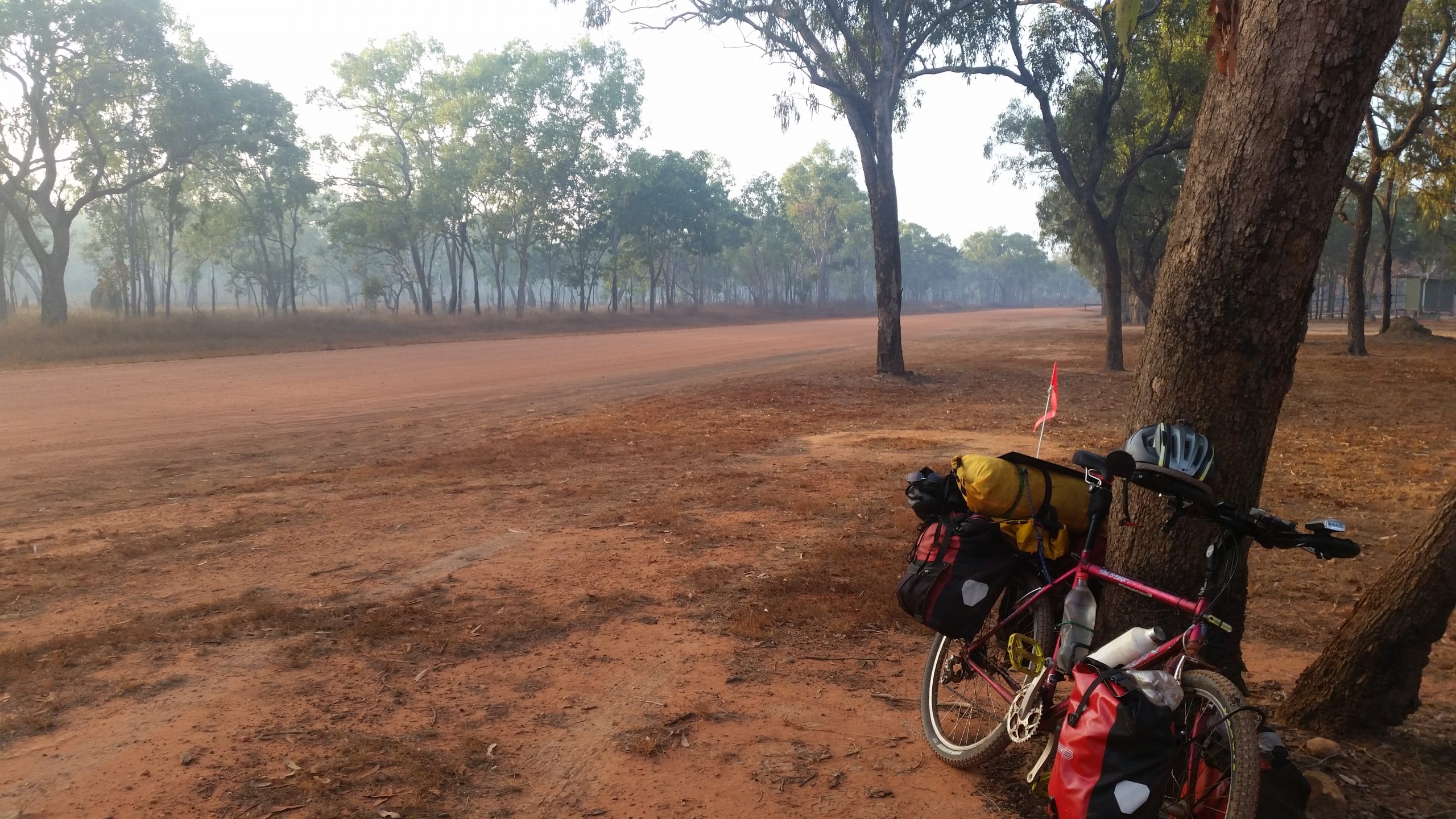
Another 25km up the road to new Laura where there was a tiny mobile service cell. I connected, but could barely get anything because it was overloaded by nearby campers. I had not had the internet for 2 days at that stage. I camped in the scrub about 2km north of new Laura.
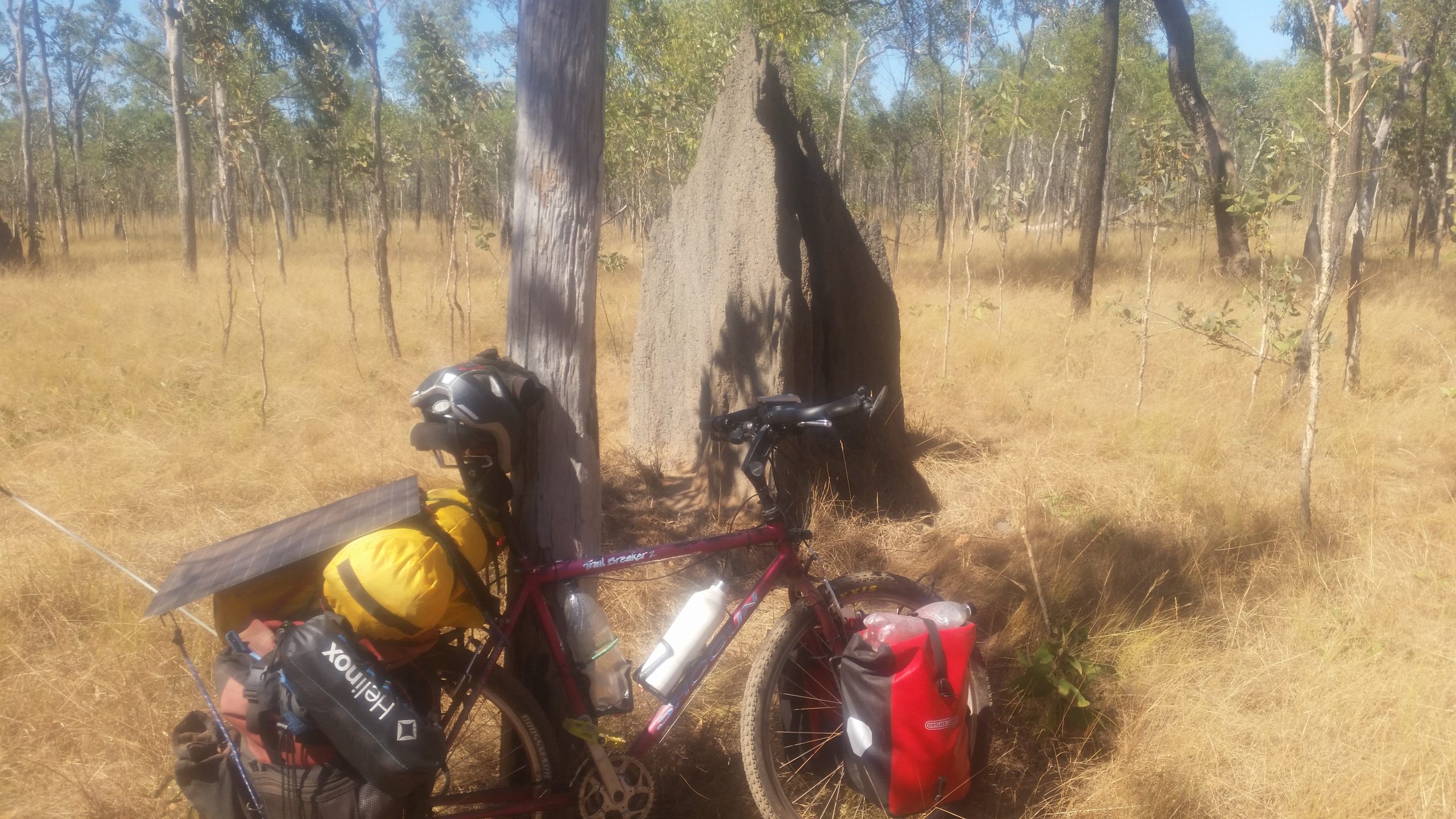
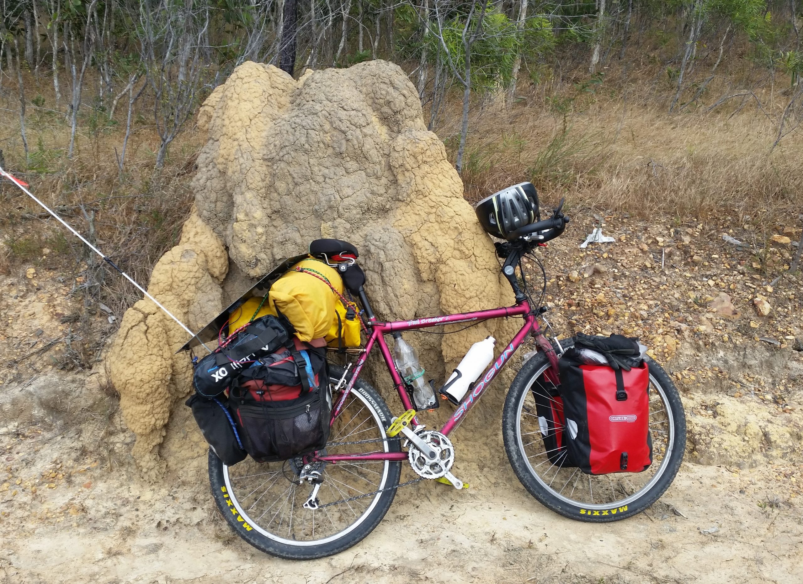
Magnetic termite moundSmoke haze from burning off at new Laura
47km. Camping next to Isabella Falls was not a good idea. The falls were never endingly loud, and I didn’t sleep well.
I was going to go for a swim in the falls waterhole in the morning, but it was just too cold. I must have been up here in far northern Queensland too long, and got used to the warmth. I filtered water out of the falls. Cooked my barley for breakfast, and when I was starting to pack up a tour group rolled up. They were nice, asked the usual questions, and went on their way.
I wasn’t feeling the best, an off day. I started off with a 3km uphill climb. At the top of the hill 3 4wd passed me and stopped. They were people I had met at Cooktown Caravan Park a day and a half ago, and they promised if they saw me they could top me up with water. However I was full with water from Isabella Falls.
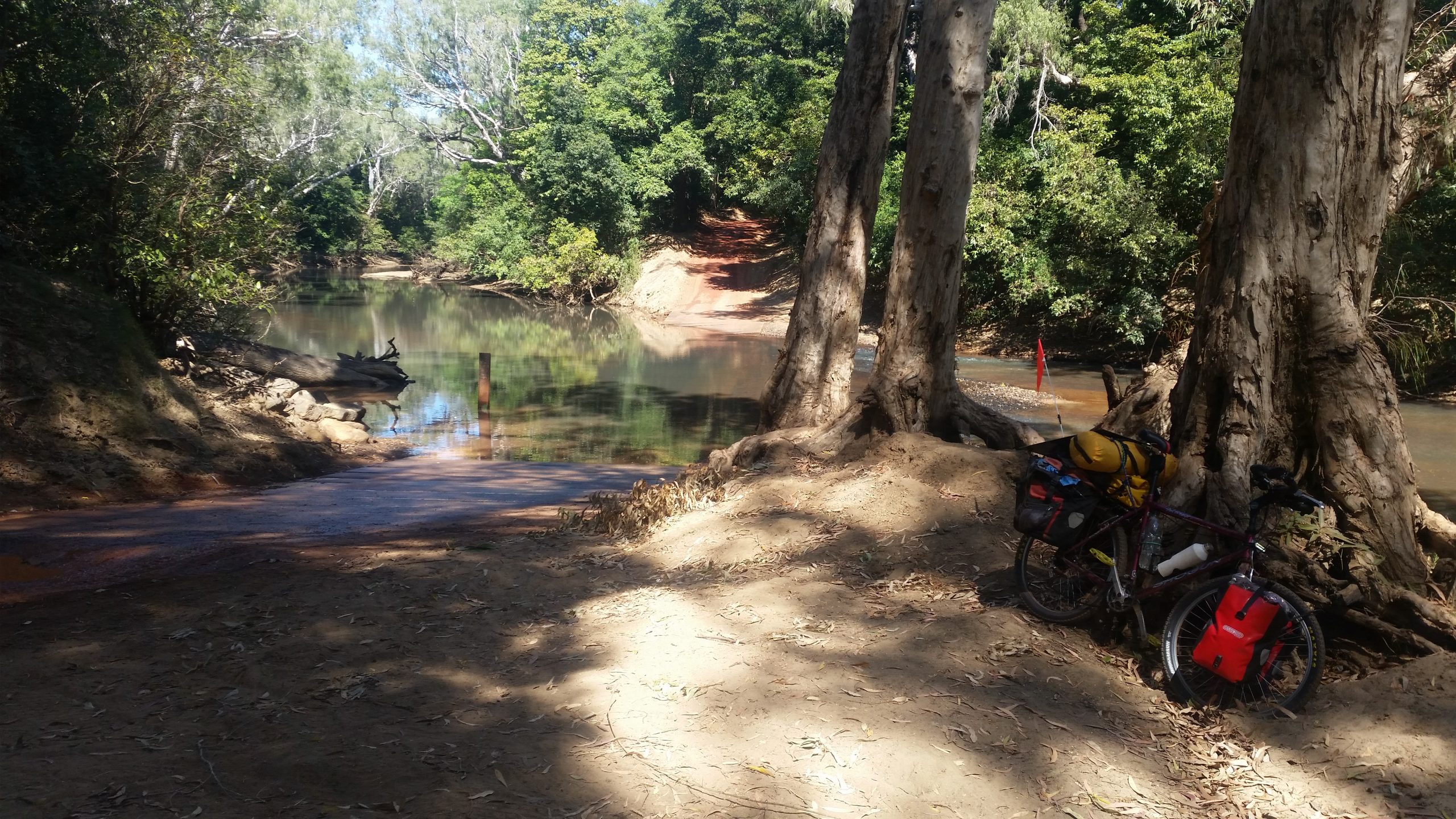
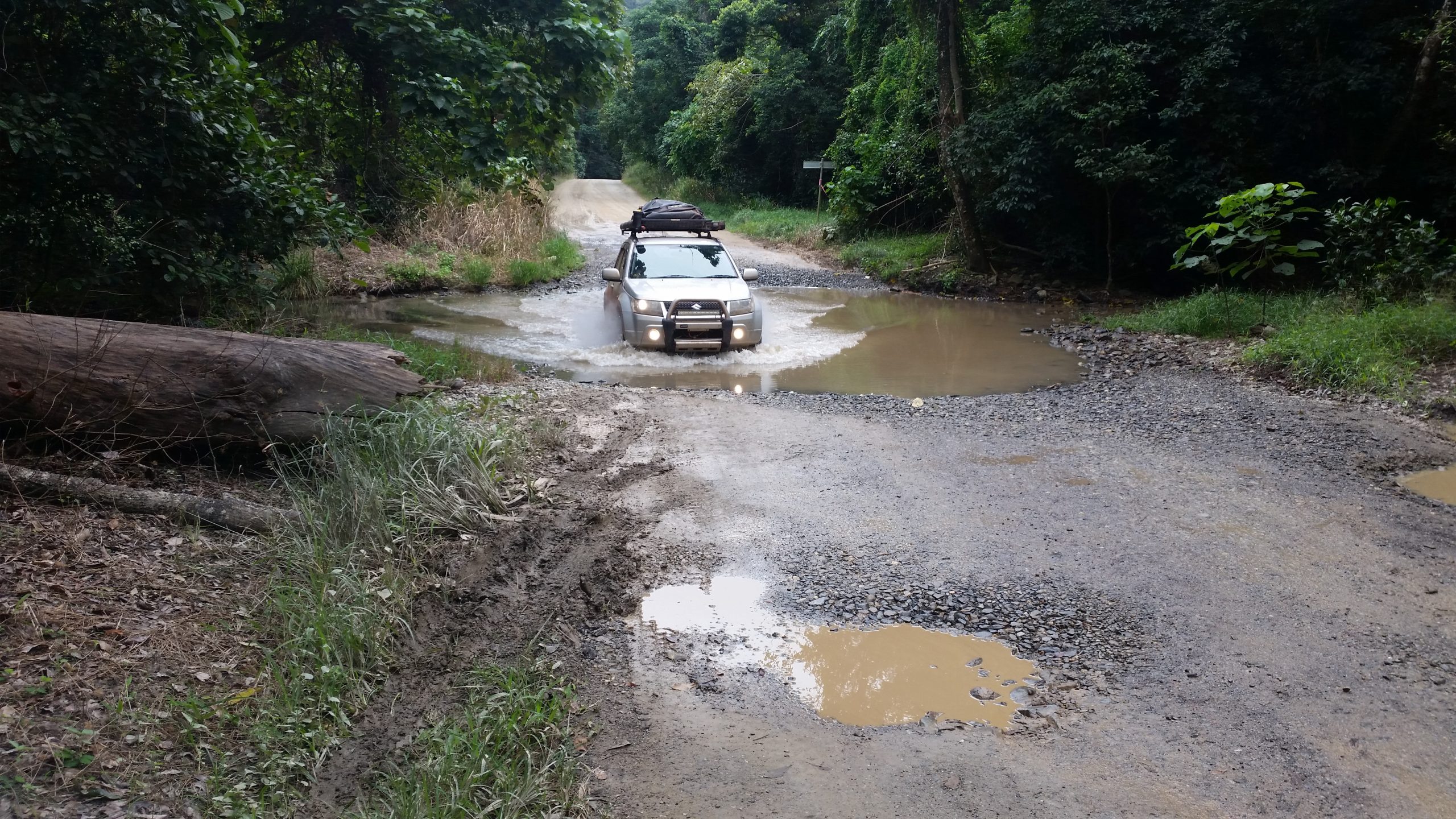
I continue on through rolling hills until Normanby River crossing. I topped up with water, filtering it. I was wary with the crossing because this was obviously croc country.
Normanby River crossing
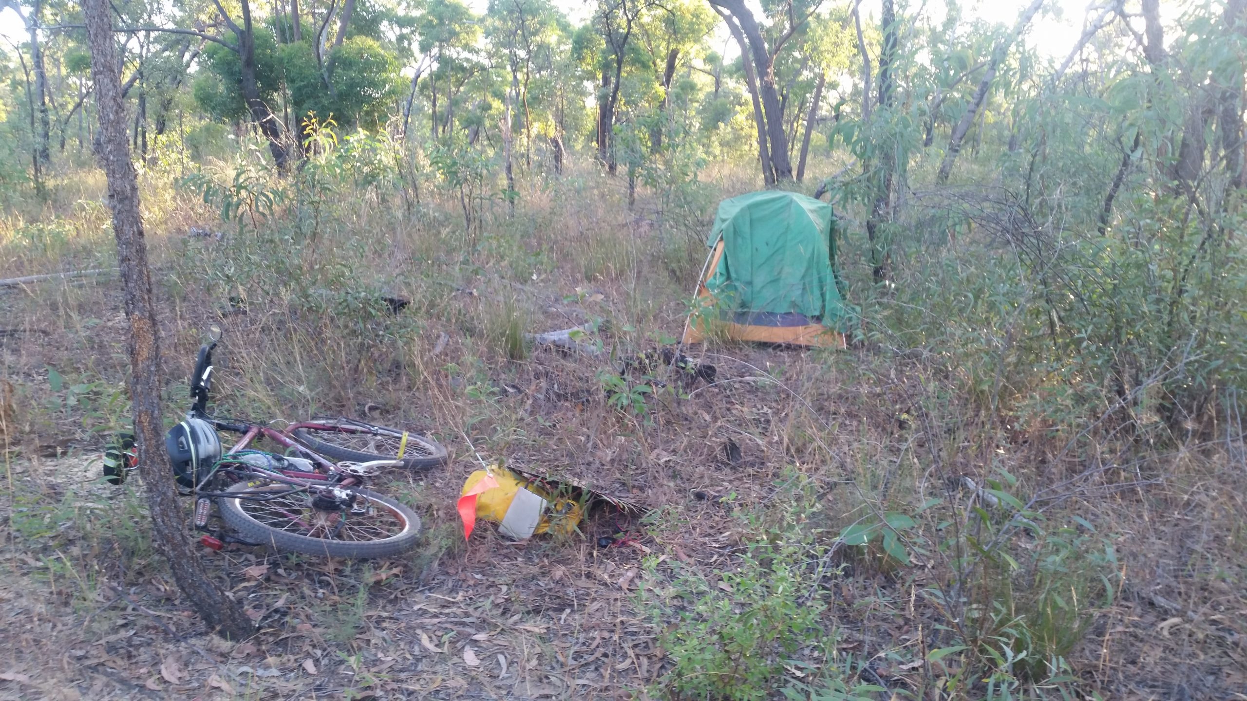
I got across with the water being about 20 cm deep. I had lunch in the shade on the other side. One last hill and I would have left the hilly country. I plodded on until I hit the edge of the Lakefield National Park around 4:30pm. I decided it would be better to stealth camp outside the park, so I backtracked a km to a grid and a fenceline. I went about 150m along the fence line and camped in the scrub.
Stealth camped in the scrub at the edge of battle camp station
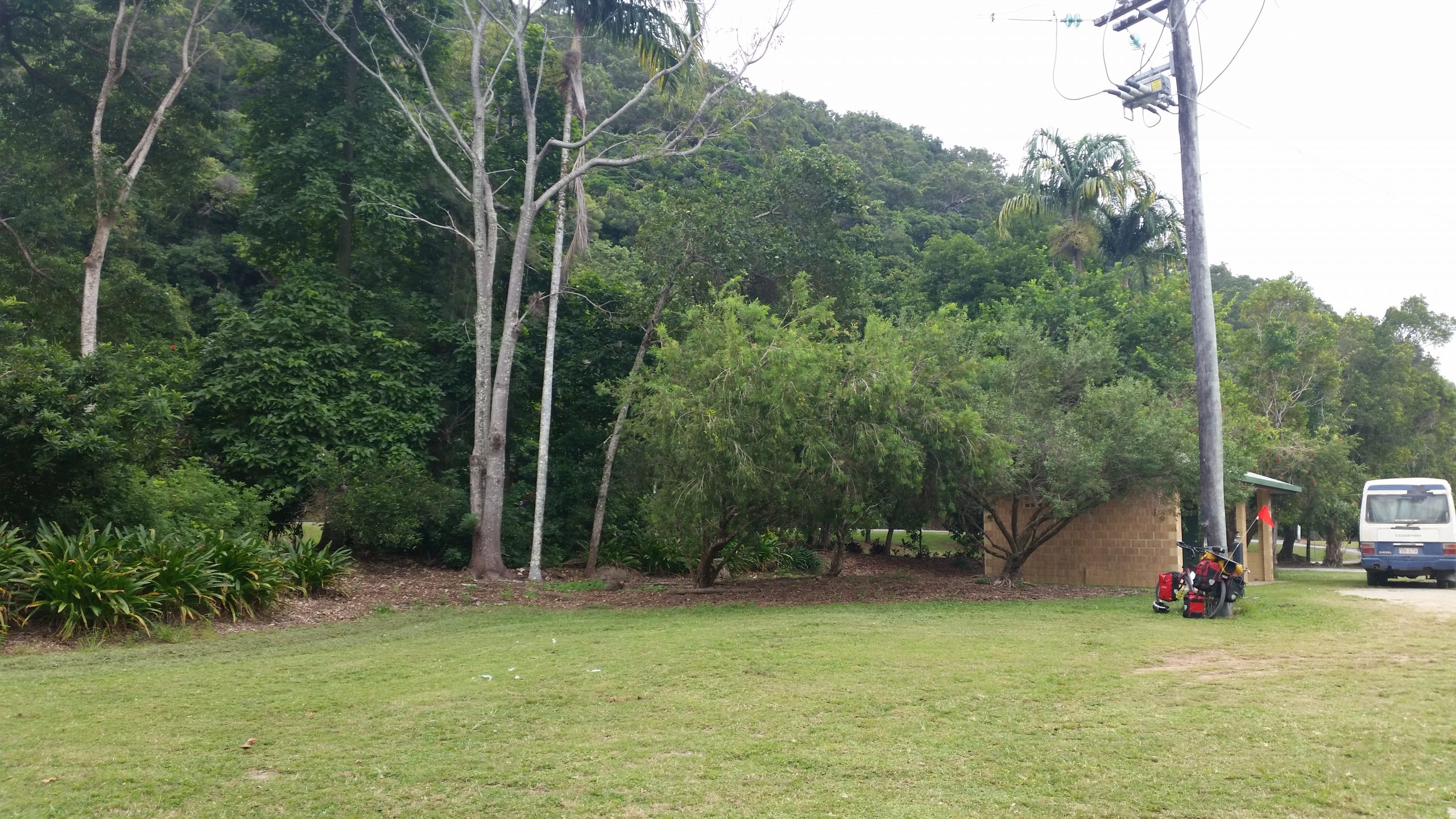
45km. I rode into Cooktown IGA supermarket early at 7am to get enough supplies for the 375km ride to Coen, where I could get more supplies. I thought I needed 7 days supplies, but hoped I would get to Coen sooner.
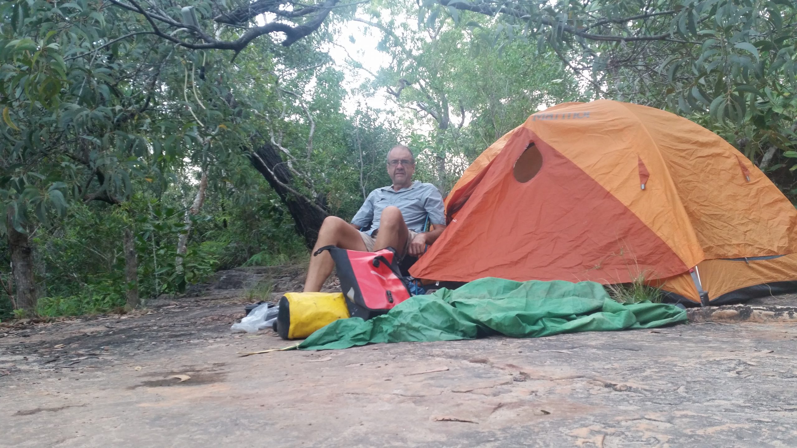
I squeezed everything into the panniers, and at the rather late leaving time of 10:00am I left Cooktown. There was a fair bit of traffic until I left the turn-off to Hope Vale. Then it has hilly country until I got to Isabella Falls. I wanted to get further than the falls, but it was 4:20pm, and the next camping site was 22km away, so I made the decision to stay at the free camping at Isabella Falls. I was told it would be busy, but there was no one there. Someone came later to look at the falls, but I camped alone
The first Termite moundLunch stopCamped at Isabella Falls
Cooktown was 2 days of rest and relaxation at the Cooktown caravan park on the outskirts of Cooktown. I did do about 30km riding in and around Cooktown.
67km. I really felt tired but I was determined to get to Cooktown and have two days of rest. The owners of the Caravan Park told me I had a range to ride over, so I was prepared.
I set off early, had the road mostly to myself. It was so lush, with high green grass right up to the edge of the road, didn’t leave me anywhere to pull over for a rest. I did a few pushes up the hills, but not many really. I sort of surprised myself that I managed to keep going even though I was so tired and sore from the Bloomfield track.
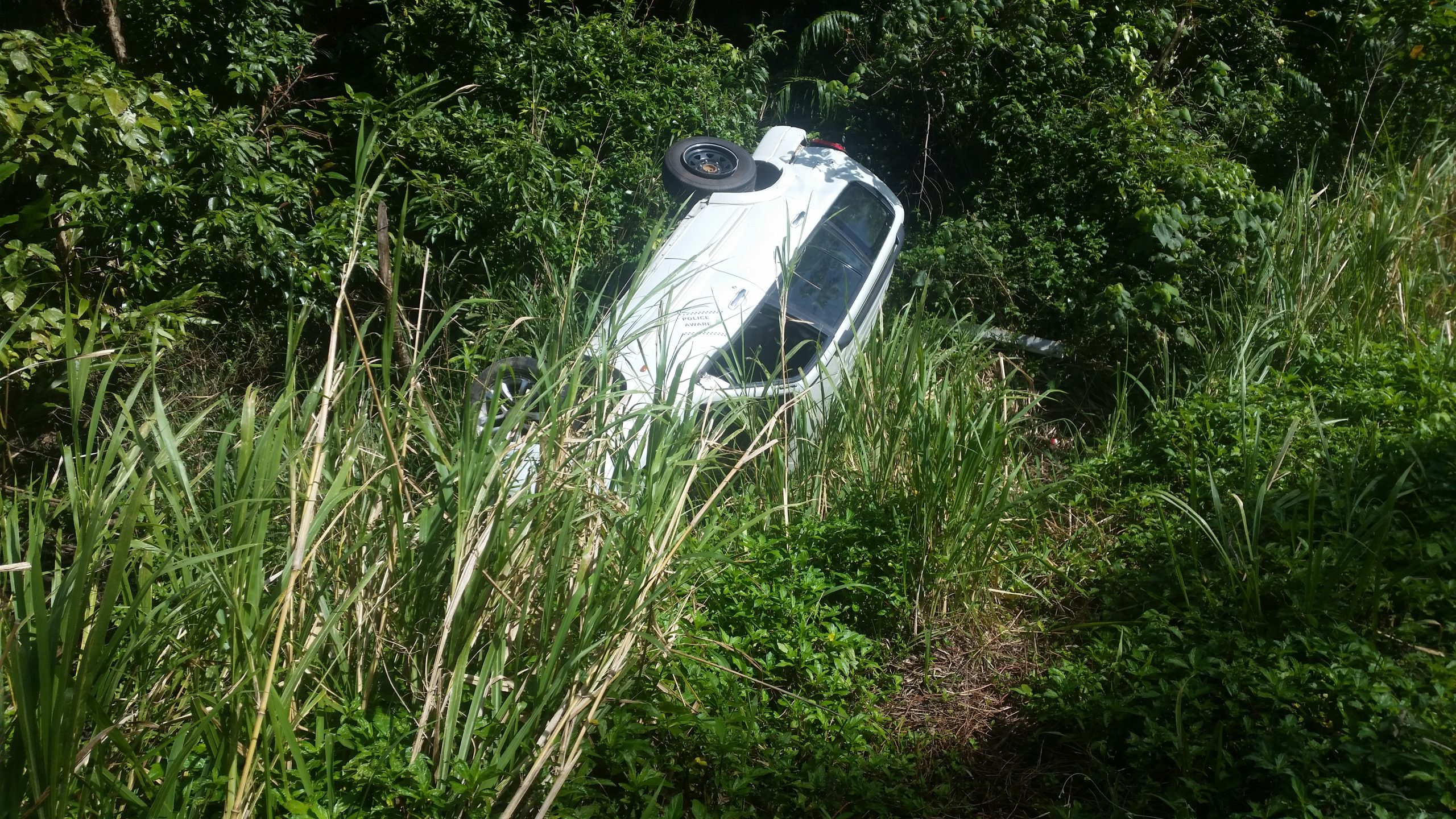
I passed yet another crashed car.
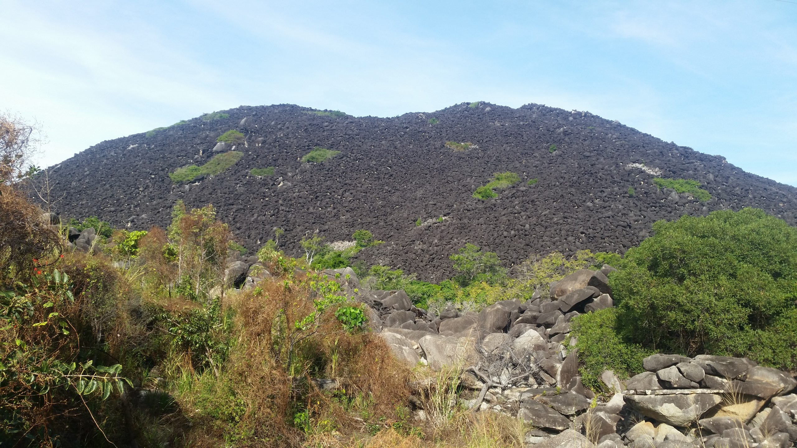
The I rode past Black Mountain, which is definitely a strange looking mountain.
Black Mountain, an eroded magma mountain
A few more kms, including a hill just before Cooktown, and I arrived at Cooktown carvan park at 5pm. As had happened several times so far the sign outside said full. However I went to the office and told them my tent was very small and they found me a spot. I then put up my tent, and headed into town and got myself a hamburger with the lot, my reward for a long day, with 6 hours riding at an average speed of 11.5km per hour.
35km. The hardest day yet. I got going from my stealth campsite at 8:30am. About 2 kms later I hit the first hill. This was the hill with road works. They were concreting the hill and had traffic lights set up. The road workers were very encouraging as I dragged and pushed my bike up the hill.
The first steep hill. I thought this was the worst one but I was wrong, more hills were to come.
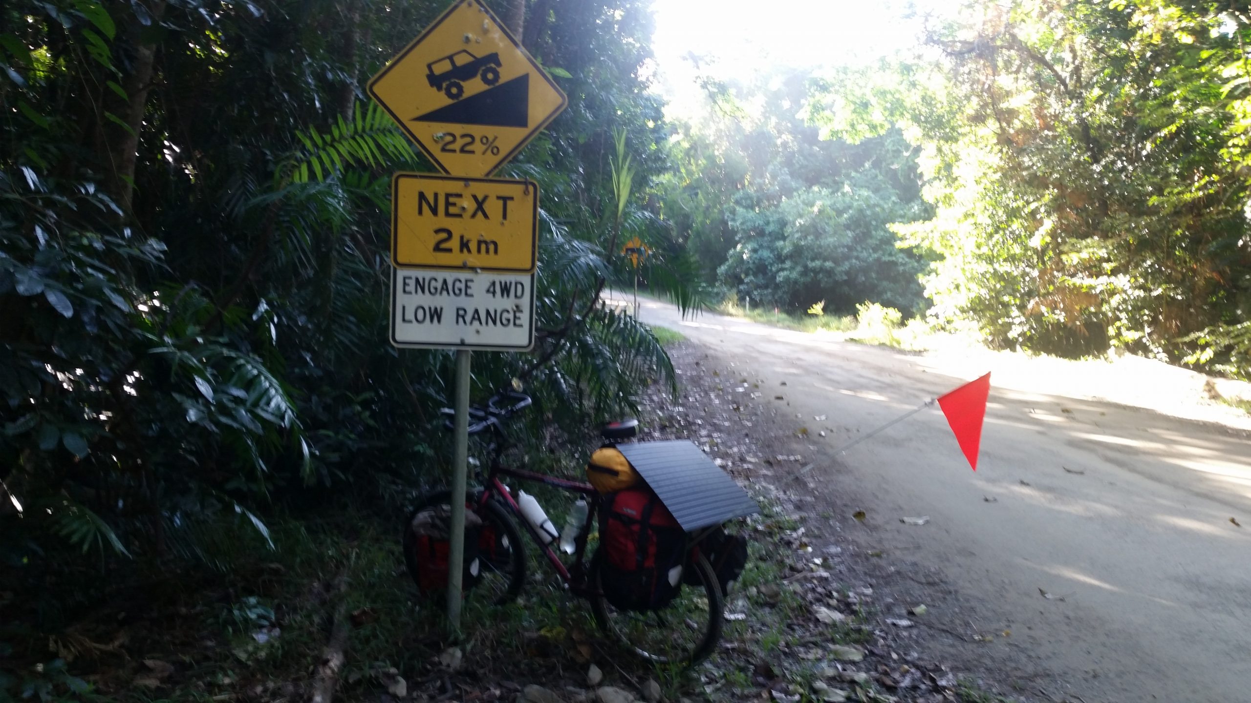
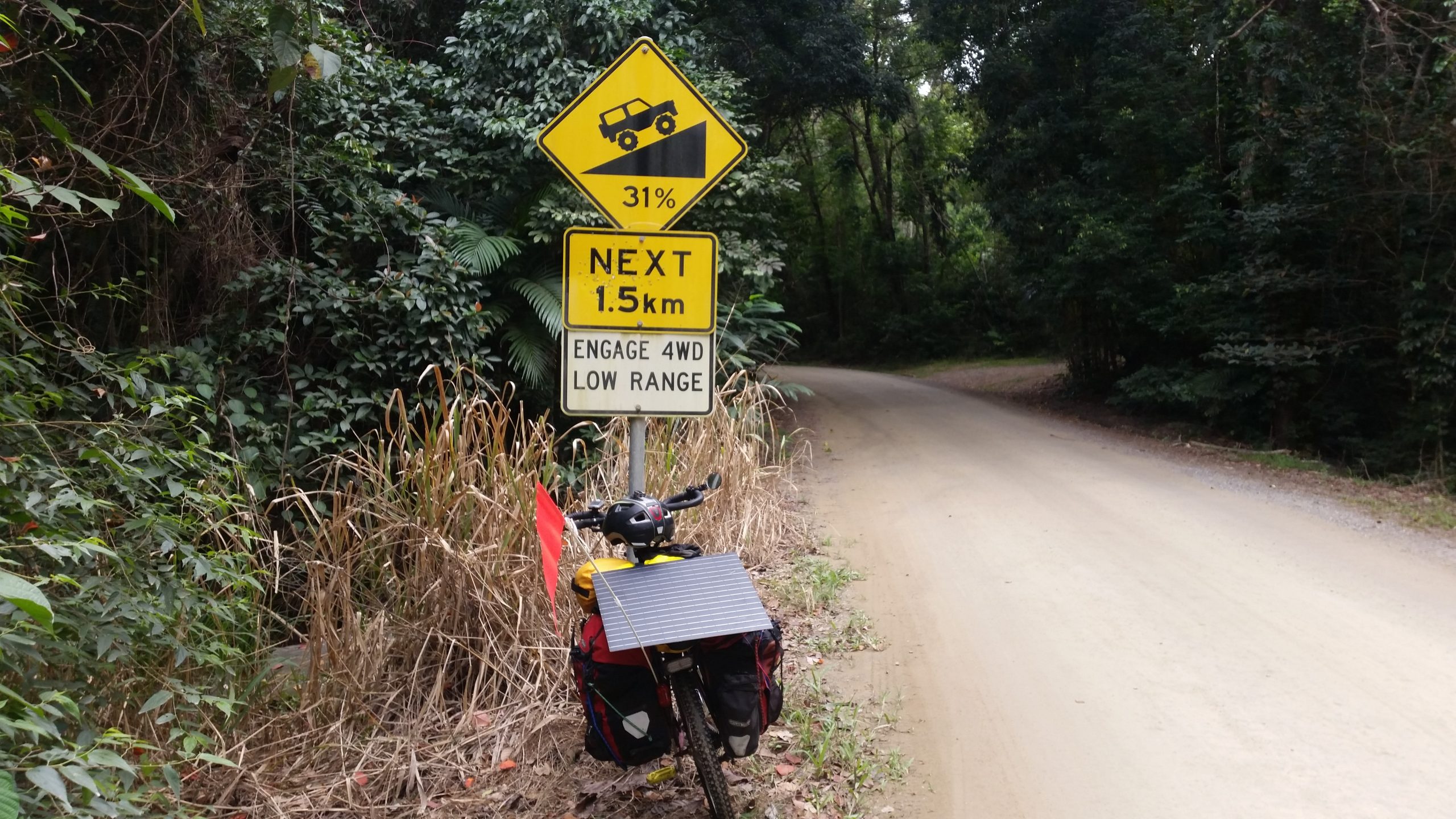
It was up and down with a fair bit of traffic, until I got to the next hill which was the killer hill. 31% grade, although it was concreted. It took me an hour to push up the hill 10m at a time.
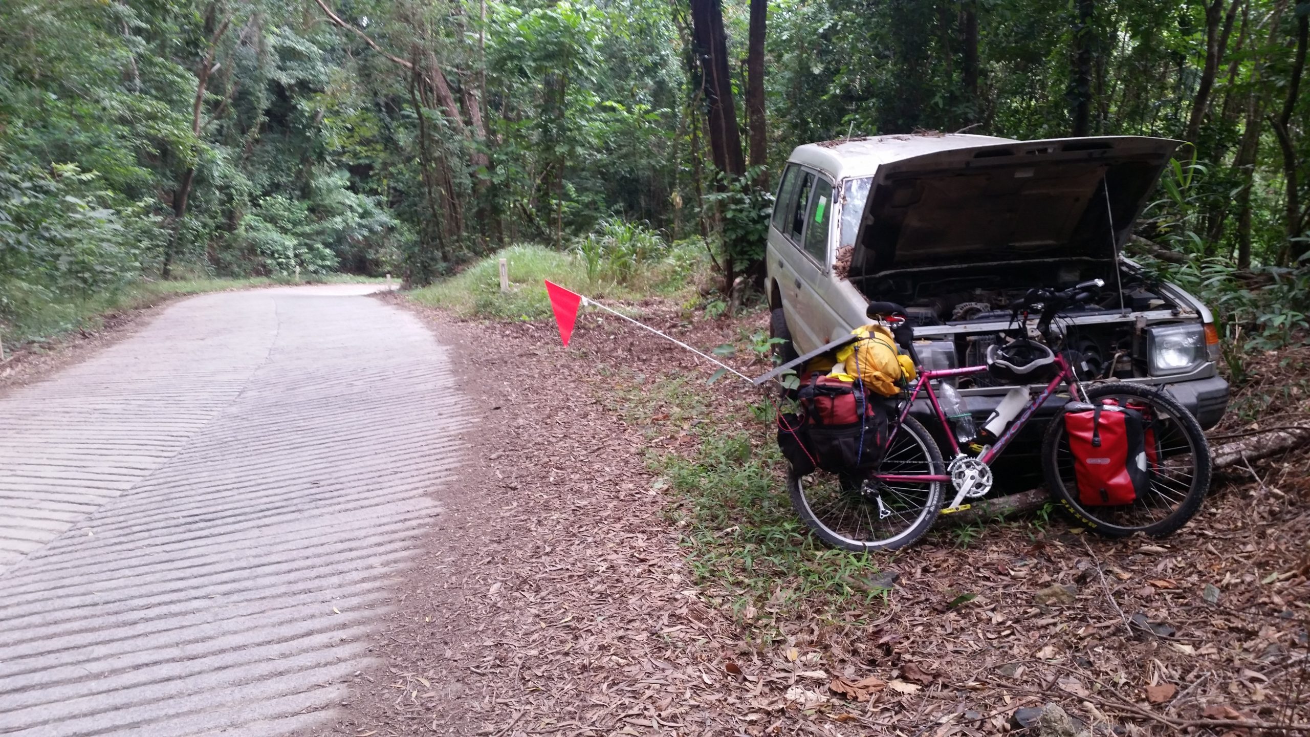
About 3/4 of the way up the hill I stopped next to an abandoned Pajero, that must have broken down trying to get up the hill. It had been there for a least 6 months.
Abandoned broken down Pajero
That was the worse hill over, but there were many shorter ones that I had to push up. Then I had to be careful on the decent, because my rims would overheat, and I could blow the innertube. I had already lost one innertube on a decent already.
One of the many creek crossings along the Bloomfield track
Eventually I got to the end of the Bloomfield track and reached Wujal Wujal. I detoured to the shop but it was closed. I was so tired but I was determined to reach the campground at Ayton, which I did at 5pm. It was a long exhausting day.
30km. I left again early at 8am, with not much traffic on the road. It was about 10km until I got internet access back that I had lost the previous day. I stopped at Thornton Beach. Then it was a slog up Noah Range. Over the range I met a German cyclist who had ridden from Melbourne to Cape Tribulation. His bicycle was getting pretty worn out, he needed a new cassette and chain after 8,000km, so he was heading to Cairns for an overhaul. I find it interesting that there is this trend to super lightweight bikepacking, yet when I meet on the road people who have been bicycle touring for long periods they carry heaps of stuff. This guy had collected things from the side of the road, including straps and a gold ball. Certainly not lightweight.
It was then onto a park south of Cape Tribulation where I stopped for lunch. Then after lunch I rode past a mini supermarket which was a bonus. I could top up food supplies, because I was really unsure how long it would take me to get to Cooktown.
I did the touristy thing and walked to the lookout at Cape Tribulation, and then along Cape Tribulation beach. Then it was a push up the road out of the carpark and on the road to the Bloomfield track.
Looking back towards Cape Tribulation
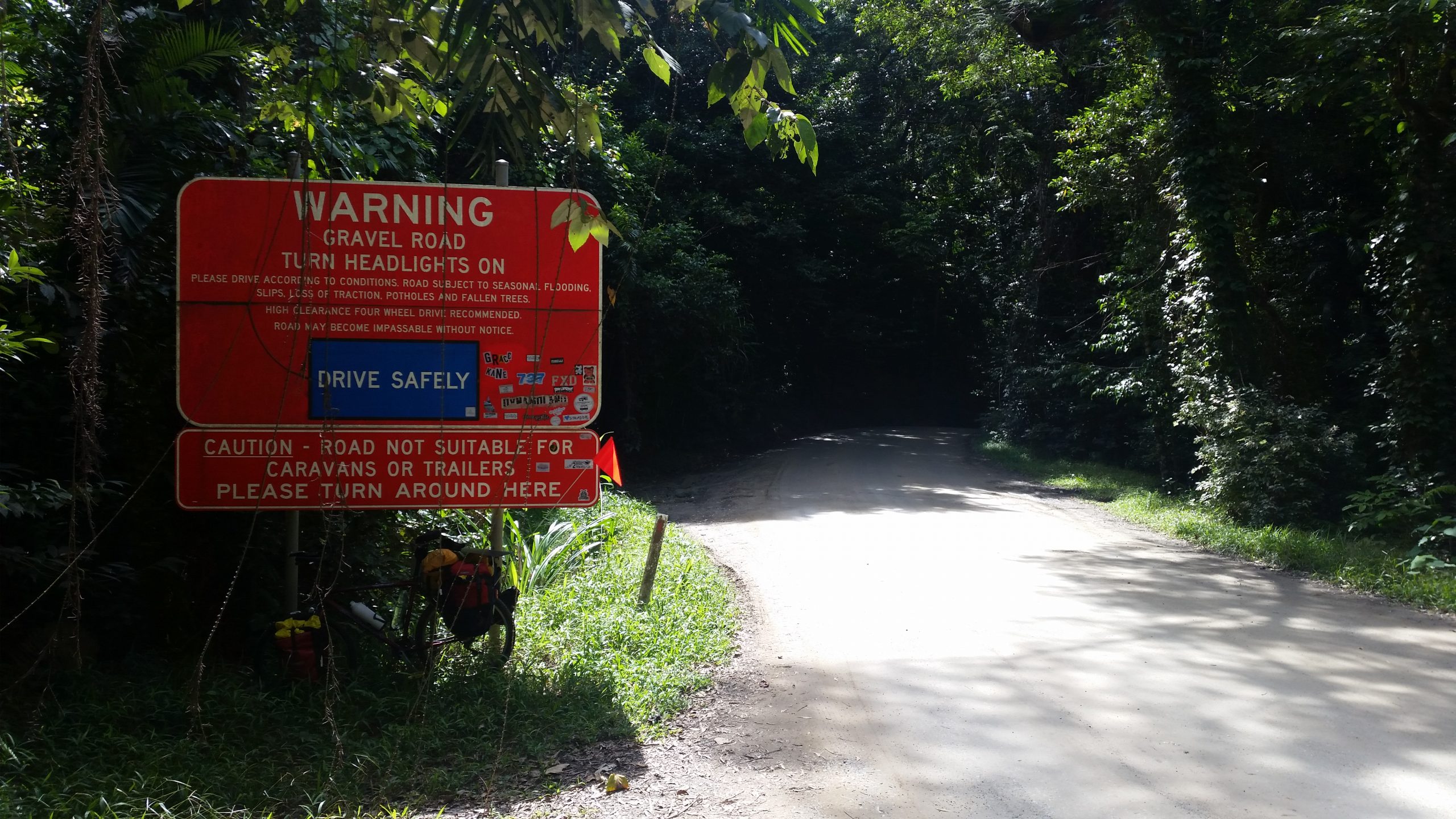
I was surprised how many cars and 4wds were driving along the road to the Bloomfield track. The Bloomfield track started with the warning sign advising against taking trailers, yet every second 4wd that was passing me had a trailer.
Warning sign at the start of the Bloomfield track
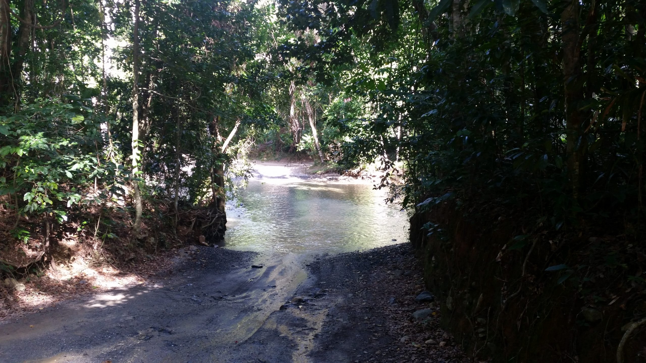
I passed another cyclist on the Bloomfield who was riding along on his mountain bike. He gave me a couple of possible steath camping sites along the Bloomfield. I eventually got to Emmogen Creek and probably the deepest water crossing on the track. This is where the cars were driving to, as people were swimming at the waterhole.
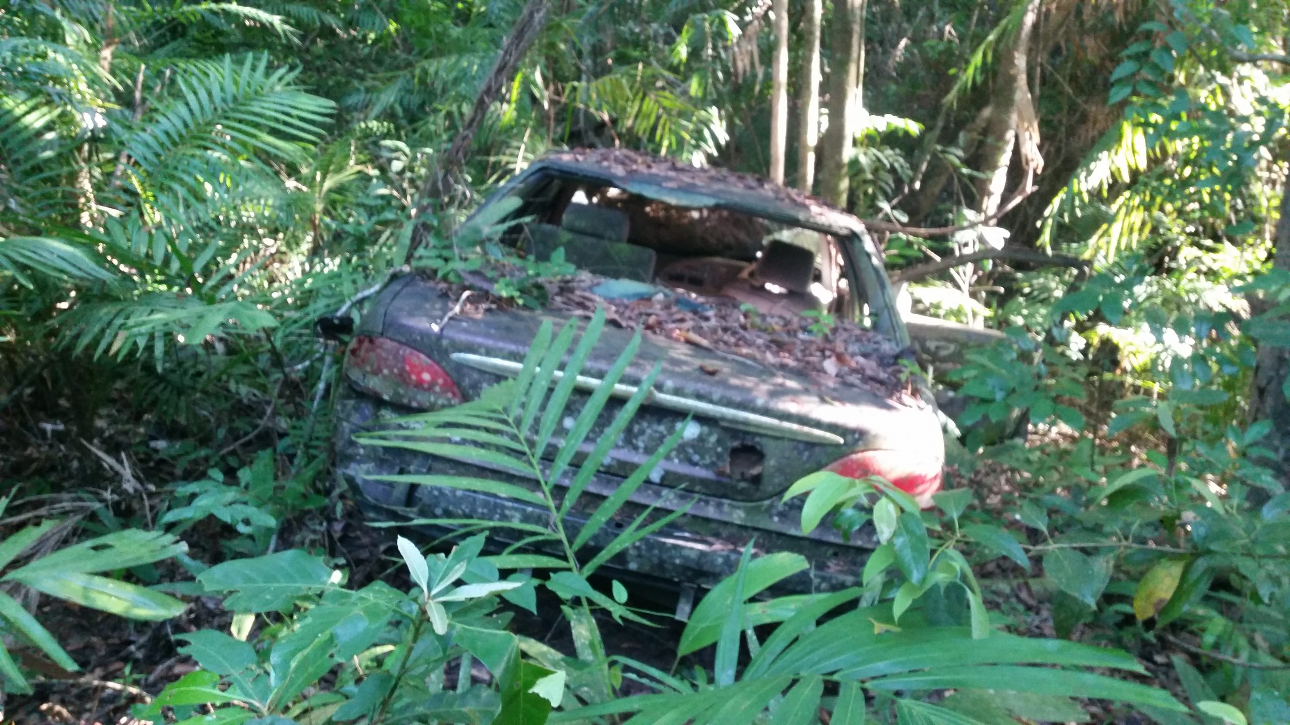
I pushed on another few kms until I got to the suggested stealth camping site, where I pulled into a little track of the Bloomfield, put up my tent next to a long abandoned car, and covered it with my stealth green tarp to hide it in the rainforest. I felt guilty stopping early at only 3pm, but again I was pretty tired.
33km. I decided against the Creb Track. The lady who ran the campground said it needed several days of sunny weather to be passable, and it had rained every night for the last 4 nights.
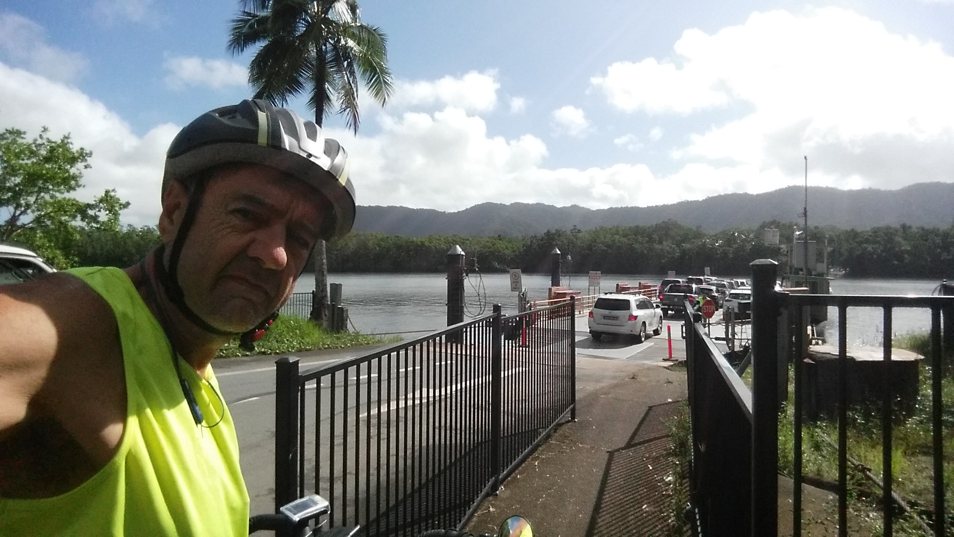
So I headed off at 8:00am in the still morning air backtracking the 10km to the ferry turnoff.
I crossed the ferry, charged $3 (cars were $25), being told by the ticket booth attendant that someone had come through from Thursday Island by bicycle. I When leaving the ferry, one of the workers told me to be careful as there were lots of blind corners.
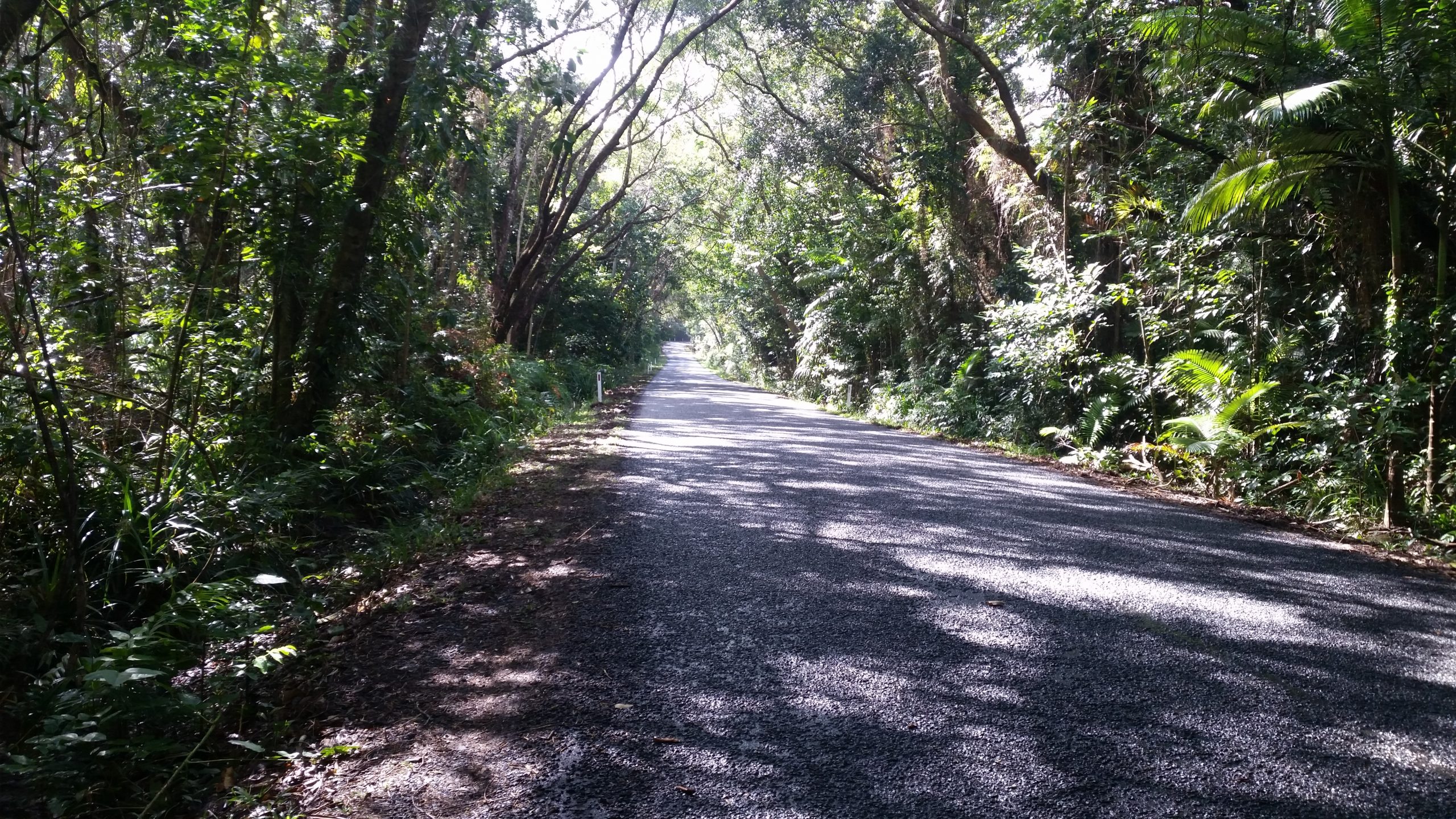
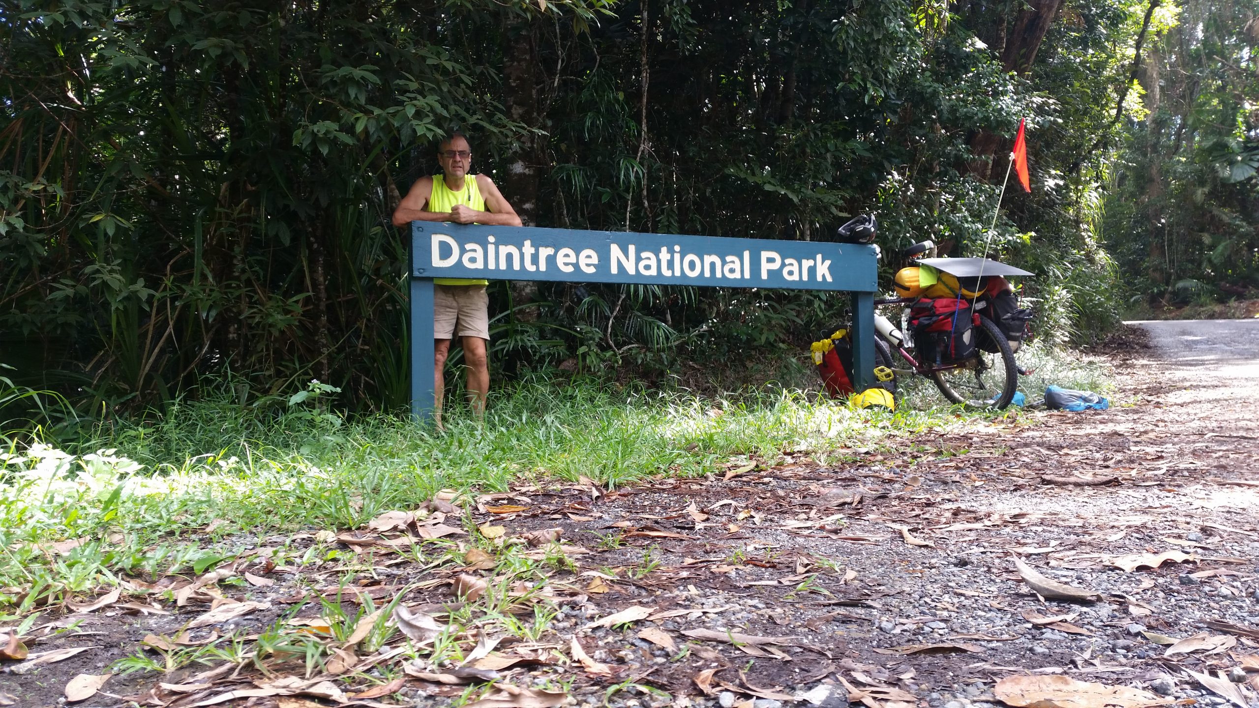
Riding along the road towards the Daintree National Park
This turned out to be good advice, as the climb up to the lookout was narrow and windy and steep. I spent a lot of time either pushing the bike or hiding as far to the side of the road as I could.
I stopped at the top of the range at the lookout with the the rest of the tourists. Them down the steep decent where I suffered the perennial problem I have with thornproof inner tubes, the rims overheaded and the valve stem broke off the tube. So it was find somewhere safe to pull over, and replace the tube.
At around 3pm, it was 18km to the next campsite, so I stopped at Rainforest Village on a $30 campsite.
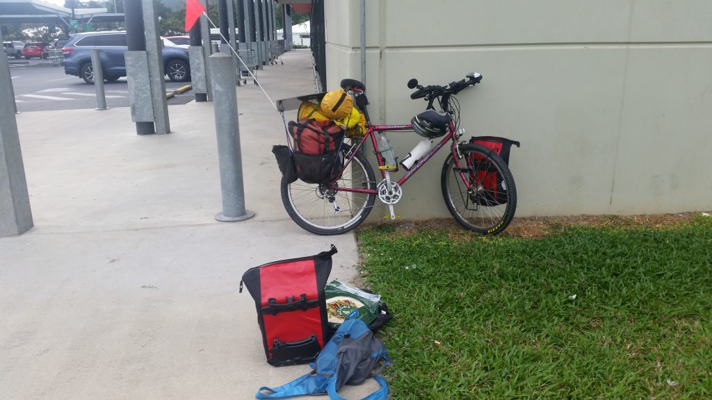
40km. Left Mossman Caravan Park early at 8:00am because I was not allowed to use my wood stove to cook my Barley. I went to Woolies again south of town to get breakfast and 4 days of supplies to get me to Cooktown.
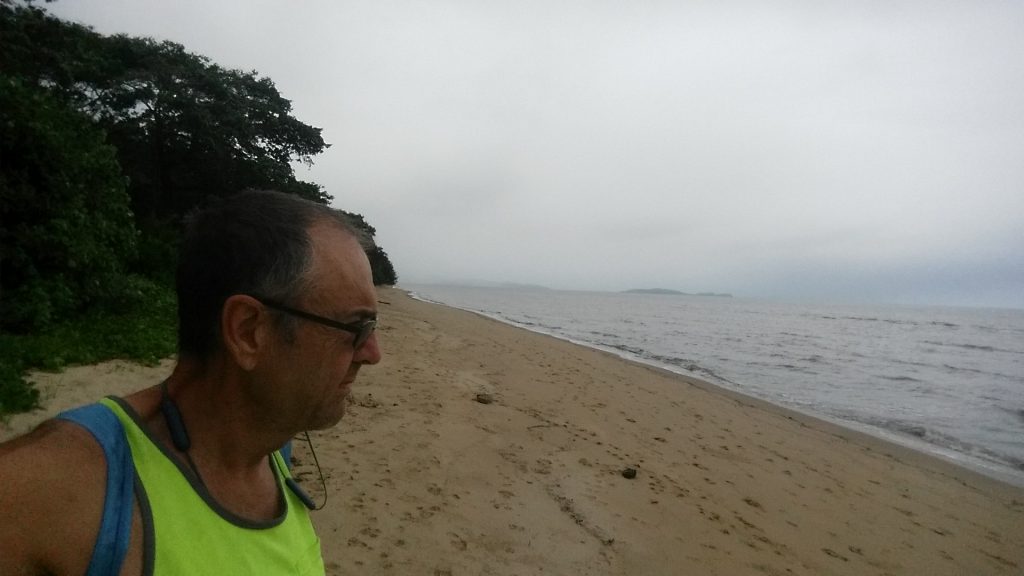
Left town, on a relatively busy road heading north. Stopped for a break at Wonga Beach.
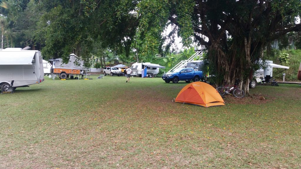
I met a young woman walking with her rucksack south of the turnoff to the Daintree ferry, She was walking the Bicentennial trail. She had walked from its start in Victoria to the Queensland border, and now she was walking south. (total when she finishes will be 5,000km) She had walked from Cooktown via the creb track. Now I had thought of riding the creb track, but I thought it was closed. It took her 4 days, and it is really really steep and muddy. Also you need someone to give you a lift across the Daintree River, because of the crocs. So I decided to miss the ferry and ride up to Daintree Village and try the creb track. However because the day was getting late, I decided to camp at Daintree Village campground where the owner has mostly convinced me its way too hard to ride the creb track.
So I am thinking about it. Here I am camped among the caravans and 4wds
Loading up supplies at Mossman WooliesCamped among the 4wd and CaravansAt Wonga Beach 24CStopped at the park at Wonga Beach
It rained during the night. That is why everything is so green here. 400m of altitude, but in the tropics. I packed up the wet tent and started of towards Mossman. I was intending to have a rest day at Mossman, so a 16km ride would have to count as a rest. I rode a couple of uphills and then there was a wonderful 8km decent. Caravans heading up and Caravans heading down. I eventually got to the main road which is the Captain Cook highway. The highway is much busier.
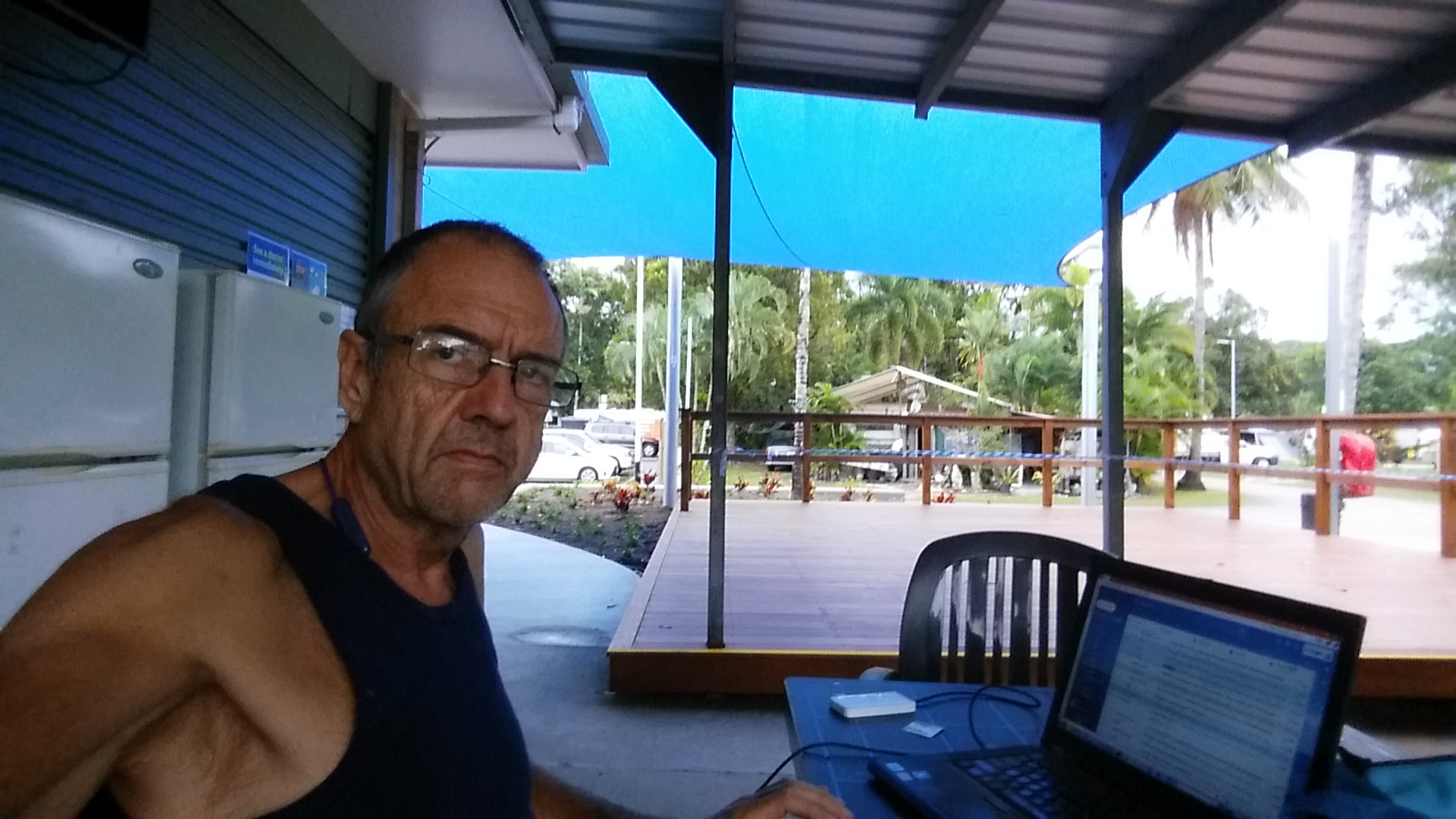
After 5km I arrived at Mossman. I stopped at the Woolies out of town and got some supplies. Then off to the Mossman caravan park. When I arrived at the gate the sign said no vacancies, but I went up to the office and asked if they could fit a small tent and bicycle, which they could (at a cost of $31). I then used the camp kitchen to charge all of my flat batteries. The rest of the day was rest
taking it easy in the Camp Kitchen at Mossman Caravan park