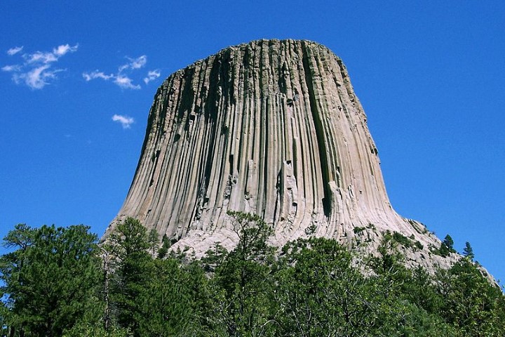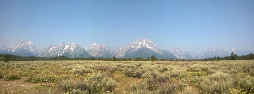
We hadn’t known about Badlands National Park until we chatted with a family from South Carolina when we were all camping at Exit Glacier, Alaska. They encouraged us to spend some time there, and as Badlands is just a bit further east of the Black Hills, we thought it would be a good place to see. Lots of history, lots of geology and erosion, and lots of wildlife. The area got its name from both the native Americans who lived around the area - mako sica = land bad, and from the French fur trappers who called it a ‘bad land to cross’. You can read more about the area here.
On the way to Badlands, we stopped at Wall, a little town on the I90 which is most famous for its huge drugstore, which now sells almost everything and has become a big tourist destination. A couple of guys from Mississippi told Greg about it when we were camping west of Yellowstone, and we had started seeing billboards advertising Wall Drug hundreds of kms away. Apparently they spend $400,000 on advertising per year. Huge, touristy, entertaining.
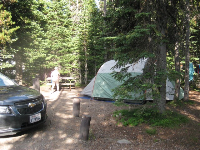
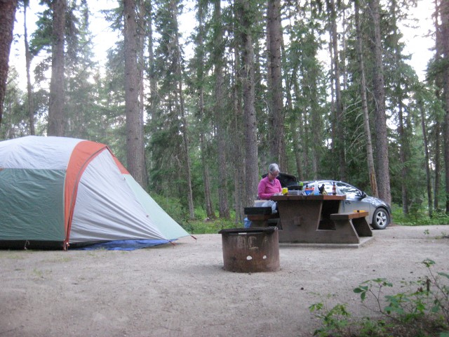
We camped at the Sage Creek campground, a ‘primitive’ campground with a lovely mown grassy area, vault toilets but no water. It was free to camp there and as you can see from the photo, there were plenty of people camping there.
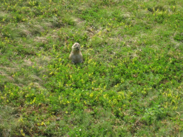
The sharply eroded buttes, pinnacles, and spires of Badlands look like something from another planet. We drove through part of the park early in the morning and colours of the rocks were beautiful. The park has a herd of 800+ buffalo, and we drove through a couple of hundred of them – the ‘wildlife jammers’ in Yellowstone would have gone crazy over seeing so many! We also saw prairie dogs, a white-tailed deer and a pack of pronghorn.
In addition to visiting the Minuteman Missile Command Centre, we went to see a sod prairie homestead and Wounded Knee, south of the national park. So much history. so much heartbreak

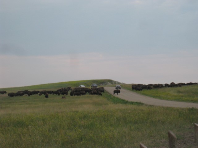
The Bison/Buffalo heard we drove through in Badlands National Park
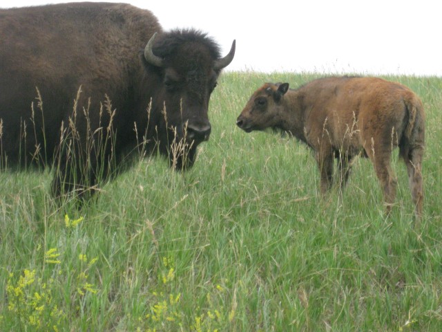
Bison up close (taken from safely inside the car!)
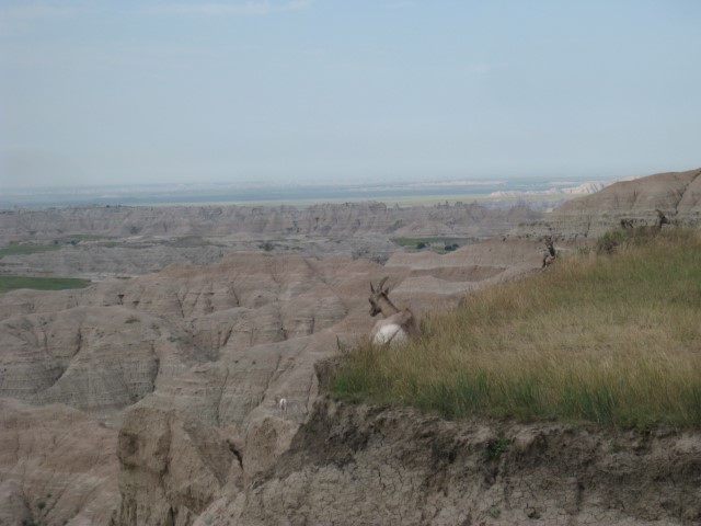
Pronghorn sheep in the Badlands
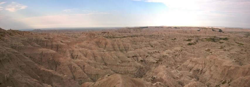
Badlands