I hadn’t even known this National Park existed until a day or so ago when we were looking at the route we’ll take south. It’s a small-ish area, with lots of recent and ancient history. It features a long upthrust, the Waterpocket Fold, a warp in the earth’s crust that was created around 65 million years ago. It got its name from the white dome-shaped Navajo sandstone rocks that look like the Capitol Building in Washington DC. You can read more about it here – http://en.wikipedia.org/wiki/Capitol_Reef_National_Park
More recently, the area was farmed by natives for several centuries until the 1200s, and there are petroglyphs (rock drawings) of animals and alien-looking people. Even more recently, in the 19th century, there were several Mormon settlements in the area, including Fruita which still has its original schoolhouse and a farmhouse which is now a general store. There is still a large orchard with peach and apple trees laden with fruit at the moment. Apparently it is possible to pick the fruit for free, but that’s a bit lost on me as I don’t like most fruit.
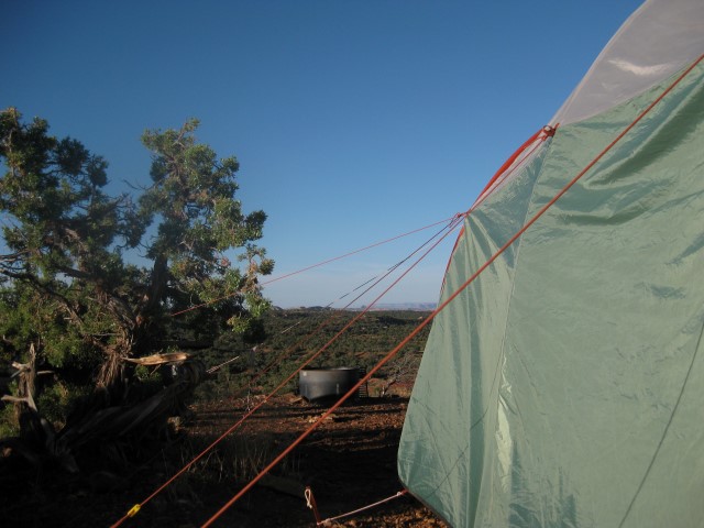
The multiple guys we needed to hold the tent down when we had a severe thunderstorm when camped north of Canyonlands National Park.
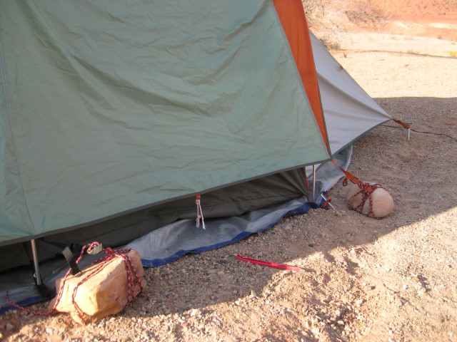
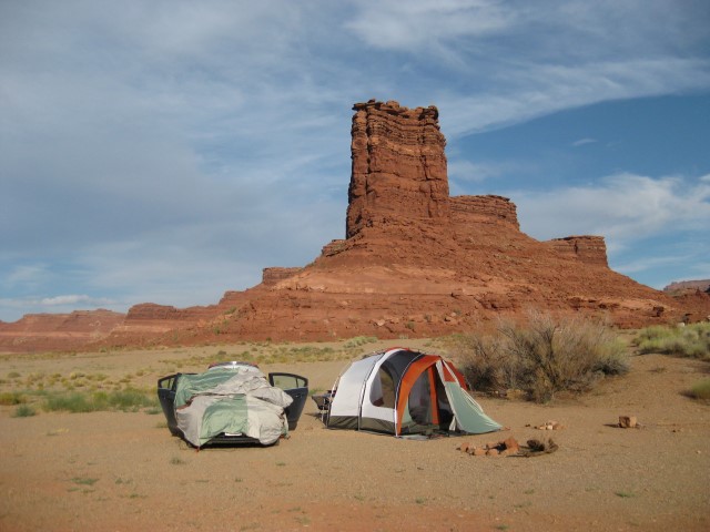
When we camped at Whites Canyon the ground was too hard for pegs, so we had to use rocks to hold the tent down during the night-time desert winds
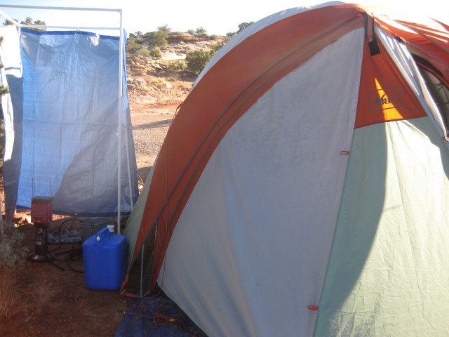
Our en-suite shower tent. We bought a gas heated shower in Denver, and with some plastic water pipe and fittings from Lowes hardware we made ourselves a shower tent.

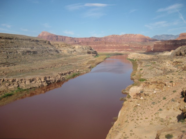


More wonderful pictures Greg !! . We have seen some of those rock drawings on TV but to see them in real life must be great . Have a good day xx
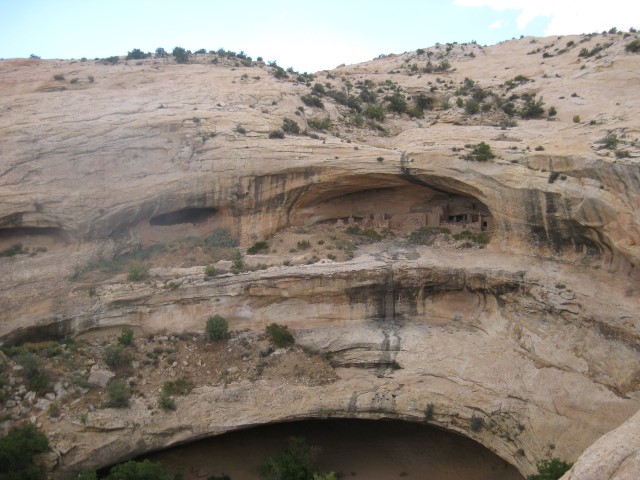
Margaret, it was great to see the petroglyphs, and the pueblo ruins the previous day. Both were in fairly out-of-the-way places, but easy to get to. If they had been closer to one of the really popular national parks, they would have been over-run with tourists! x
Just love the photo of your camp at Whites Canyon, what a backdrop!
Fantastic, isn’t it?! It was a pretty ordinary campground with very basic facilities, but that view more than made up for it.