We drove down to Venice, which is near the mouth of the mississippi, at the southern end of a long peninsula. As we got further south the land got lower and lower, and the sea closer and closer. At Venice the port is only half a metre above sea level. We kept thinking that when Hurricane Katrina hit, it had a 6 metre storm surge in front of it, which would have put this whole area under water. Many buildings are elevated on stilts, and we went past the new High School, which is being built all elevated.
When we returned to New Orleans we visited the Lower Ninth Ward, which was the area most affected by flooding from the failure of the levees. The Lower Ninth Ward is mostly abandoned. There are boarded up shops, and at least half the houses are boarded up and abandoned.

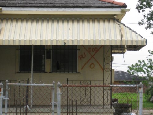
One of the many,many abandoned buildings in the Lower 9th ward of New Orleans, still with FEMA rescue marks
There is a good explanation of what the various numbers and letters mean here

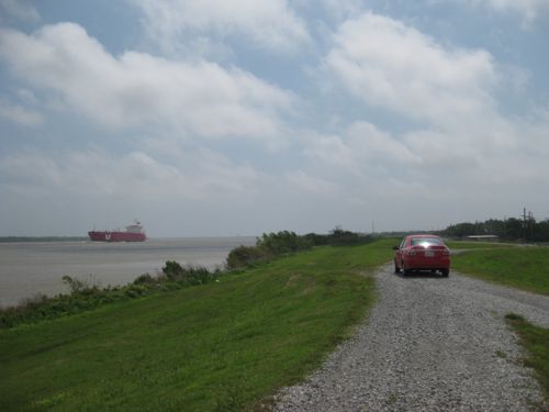
parked on the levee on mississippi watching ships sail upriver
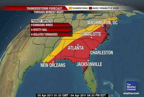
Thunderstorm and Tornado warnings while we are staying in New Orleans


The levee, I thought it would look bigger than that, how high is it?
The Levees are higher than they look, at least 4 meters. There real problem is storm surges from the sea, which during katrina where 6 metres, and they have nothing to stop that