bicycle touring
kayaking
4wd trips
books
My Mud Brick house
evolutionary psychology
ode to a datsun 120Y
interesting links
about me
travel
 

Backgound Photo:  Bathurst narrows SW Tasmania

August 2004 - I spent 3 weeks kayaking around Koh Samui and the islands to the west in the Gulf of Thailand. For information on a previous trip kayaking in the Gulf of Thailand go here. I paddled a Folbot Greenland II . I flew down from Bangkok to Koh Samui, and took a ferry and bus back returning to Bangkok.

gulf-thailand.jpg (92234 bytes) The area I paddled in the Gulf of Thailand (marked by red ring - click on map for larger view)
samui-map.jpg (47264 bytes)


Detailed map of the islands around Koh Samui - I have marked the track I took (click on map for larger view)

ang thong route.jpg (143675 bytes)  Left - A GPS log of my track around Ang Thong National Park west of Koh Samui, as well as waypoints (click on map for larger view)
 
.

Getting organised after flying from Bangkok to Koh Samui- Staying just north of Lamei beach on a step hillside made it hard to prepare the kayak as I had to carry it down steep steps. The frame of the folbot kayak

Putting the skin over the frame

The first night camped on a beach, no trees suitable for my hammock tent, so I spent a rather wet night laying under a fly. The campsite at dawn (click on picture for a larger view)

Stayed two nights at a Bungalow. I am attempting to make a new sail out of ripstop nylon

Ready to leave Koh Samui before crossing to Koh Pha Ngan- with my Pocket PC be used as a GPS

Paddling out from Koh Samui towards Koh Pha Ngan

Paddling into Hat Yuan. It took about 5 hours to paddle from Koh Samui (including a stop at Hat Rin. The prevailing wind (at least in August) is from the west to north west making a difficult windy and choppy crossing The bay of Hat Yuan, fairly protected, with several different bungalow operators to choose from (click on picture for larger view)


.

At Hat Yuan a new Bungalow only centimeters above high tide line (click on picture for larger view)

Camp on the small island of Ko Kong Than Sadet, a small amount of sand and just enough room for a tent

Looking north a dawn and low tide from the island of Ko Kong Than Sadet,

Night Markets in Thong Sala. In an effort to get to the Ang Thong Marine Park I packed up the kayak and took a taxi down to the southern part of Koh Pha Ngan. The persistant westerly wind meant the only way I could get to the marine park was taking a boat for the 30 Km crossing.

 
.

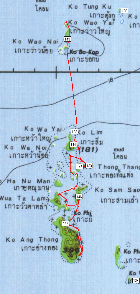
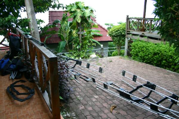
After some difficulties I got a ride on a speedboat to some of the islands in the north of Ang Thong Marine - the beach with the kayak assembled and the gear ready to pack on Ko Bo Kok Island

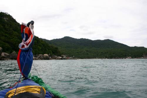
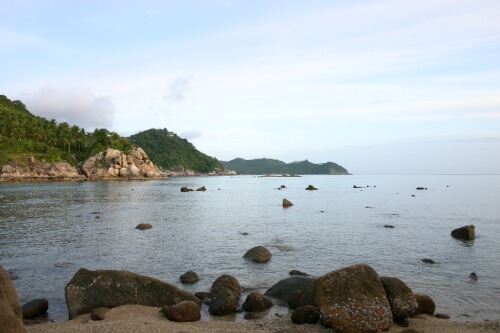
Paddling along the undercut cliffs of Ko Lae Yu the looking for a beach camp, however there were no beaches, other than the small one I landed on, which would soon disappear under the rising tide - The nearest beach was 8km south,

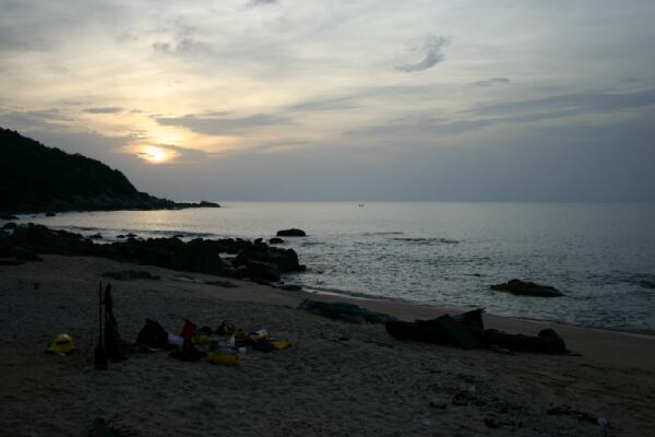
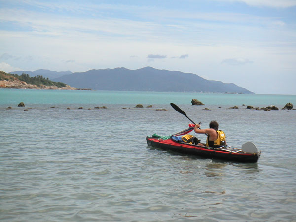
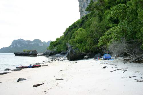
I paddled the 8km crossing south in increasing wind and waves to reach this cove on the east coast of Ko Nai Phut.

.

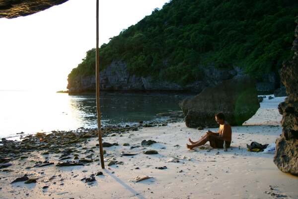
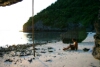
Checking my email on the beach, the phone is up a bamboo pole, my pocket pc connects to it with bluetooth

 
.

A sea cave I found on the east coast of Ko Wua Tang complete with stalactites, it was probably 25 metres long

Landed on "The Beach" as in the one of the movie and book. Not a great beach, but a nice arch to paddle under

Paddling under one of the many overhangs, probably one of the most common features in the park because of the easily eroded limestone

My last campsite on the east coast of Ko Sam Sap

 
.