| 4WD
trips - |
| July 2004 - Simpson Desert
East West crossing |
We did a East West crossing
of the Simpson Desert. Up through the Flinders Ranges to Maree, then up
the Birdsville Track then east across the Simpson Desert. After then
Chambers Pillar (along the Finke Road) to Alice Springs. Then west of
Alice to Gosses Bluff, then Kings Canyon and Ayres Rock. The practice run for a
later trip up the Canning Stock Route!.
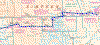 |
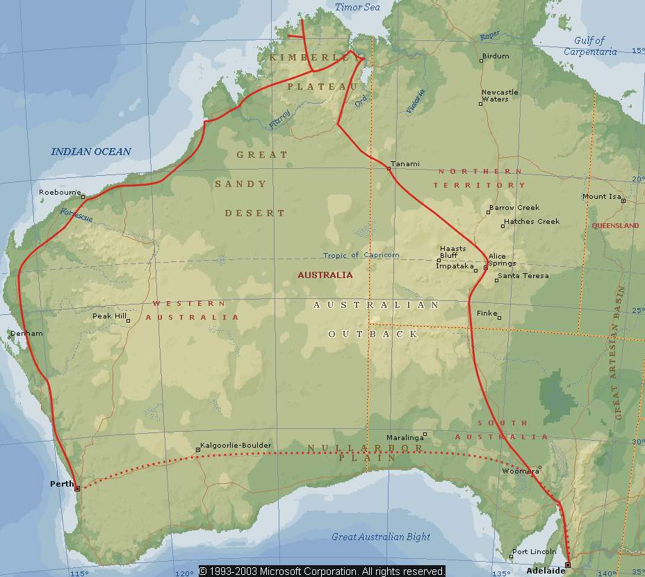
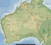
Click on the map for the
route we took crossing the Simpson Desert from east to west. (Blue
line from Birdsville to Dalhousie Springs)- It was the usual crew (see last
years participants). |
|
 |
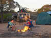
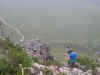
Everyone ready for the drive up Big Red
at the Eastern edge of the Simpson desert |
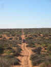 |
The vastness of the Simpson Desert -
averaging about 18 kmh along the WAA line heading west |
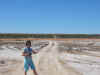 |
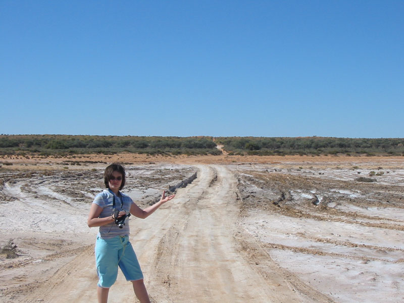
Jade on the QAA line crossing a gypsum
lake |
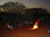 |
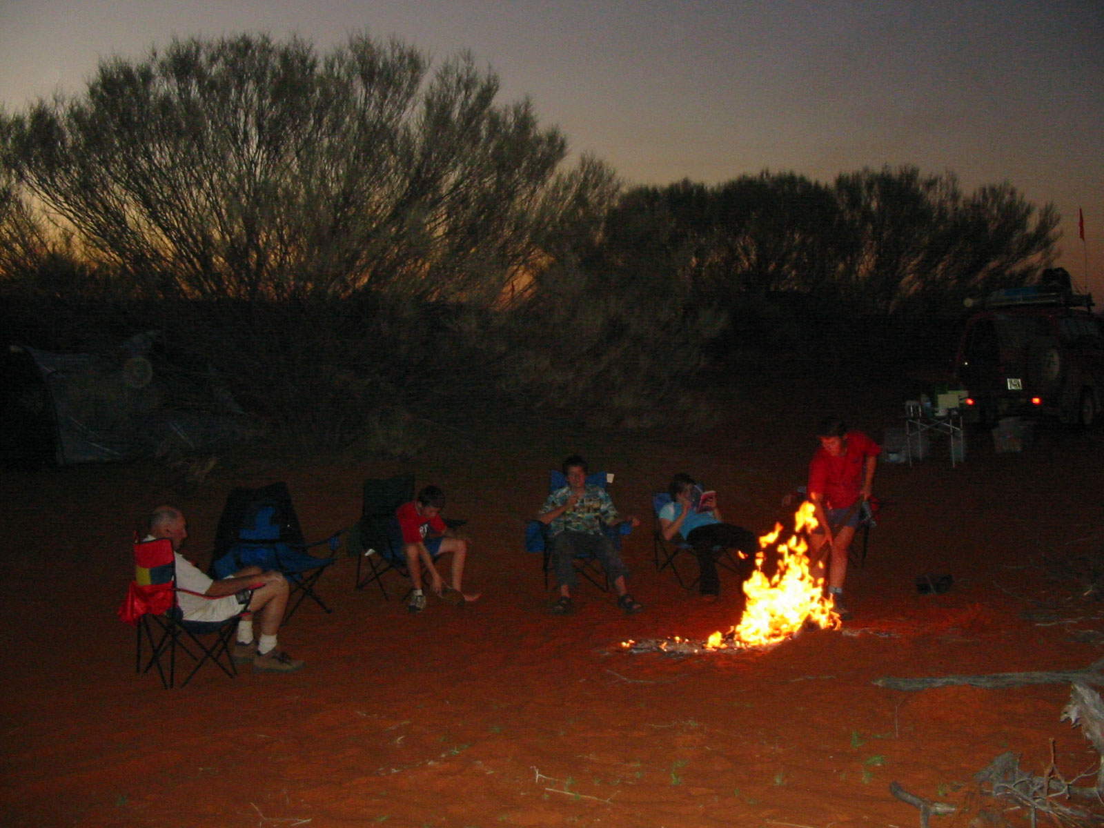
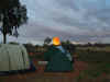
Around the campfire camped near the Rig
road, our last night in the Desert |
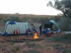 |
Camped amongst the dunes in the Simpson
desert - near the QAA line, |
 |
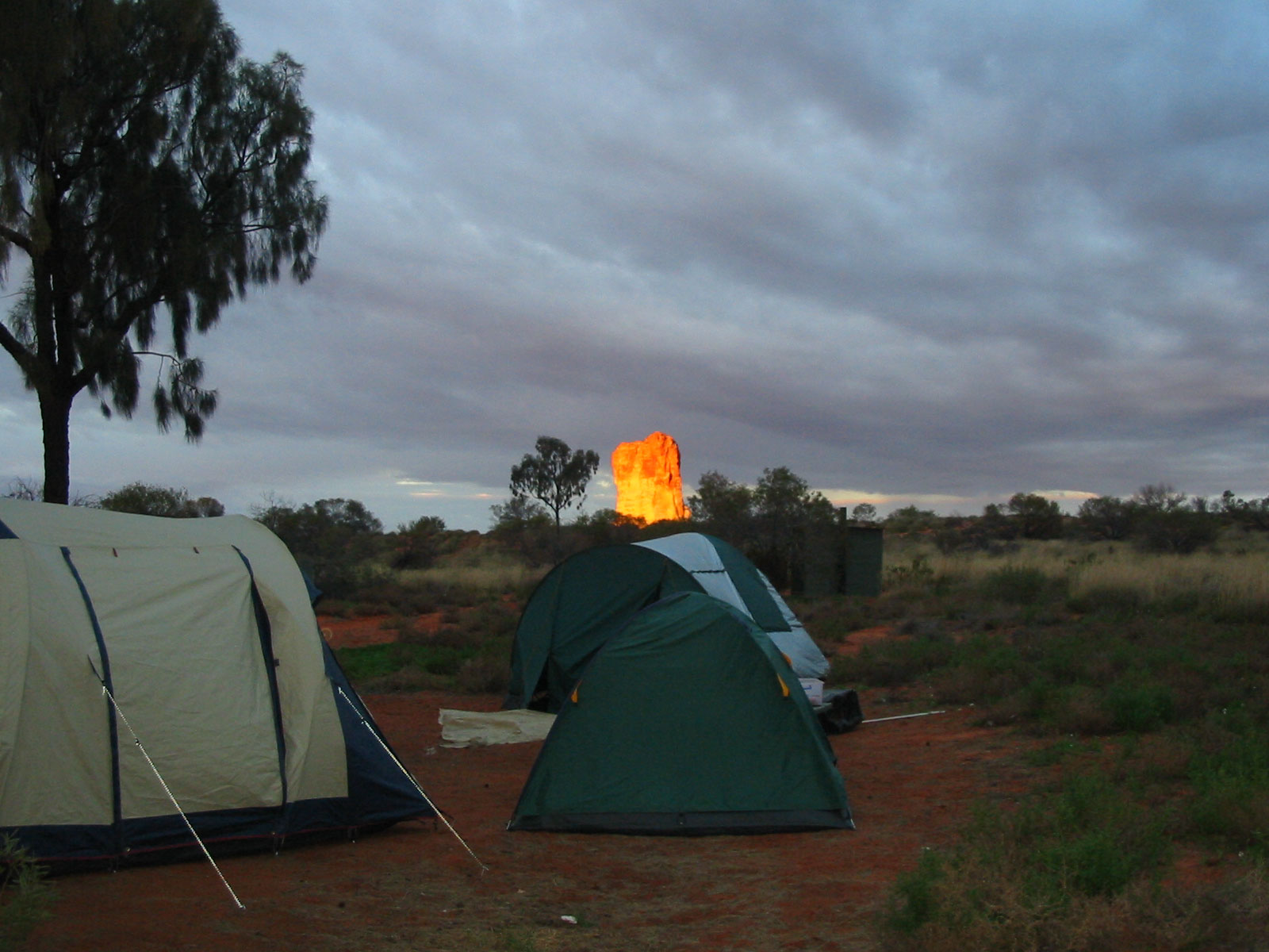
Camped near Chambers Pillar (glowing in
the sunset) on the way to Alice Springs |
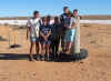 |
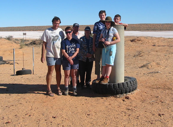
Everyone at Poppels corner - the
intersection of the Queensland, NT and South Australian borders |
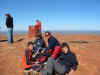 |
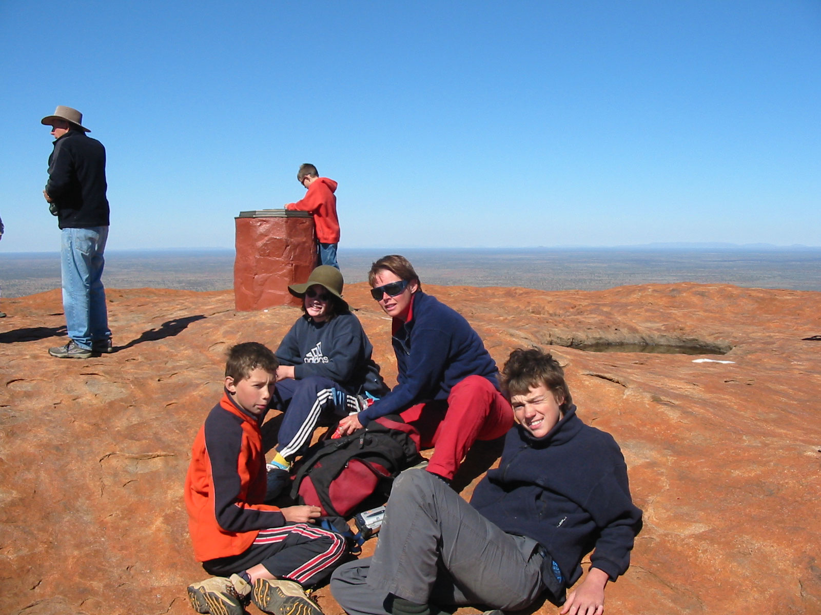
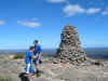
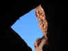
The top of Ayres Rock, cold and windy. |
|
|
| April 2004 - Nullarbor Mt Ragged
Israelite Bay Kalgoorlie |
 |
 |
 |
 |
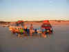
| Our campsite on the
Nullabor about 50 km west of Eucla, we spent 2 nights and didn't see
anyone |
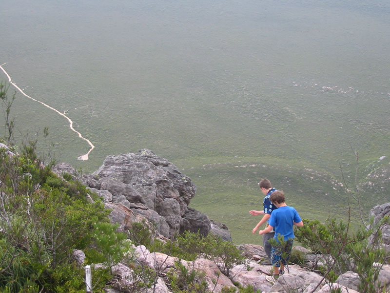
Climbing down Mt Ragged
south of Balladonia |
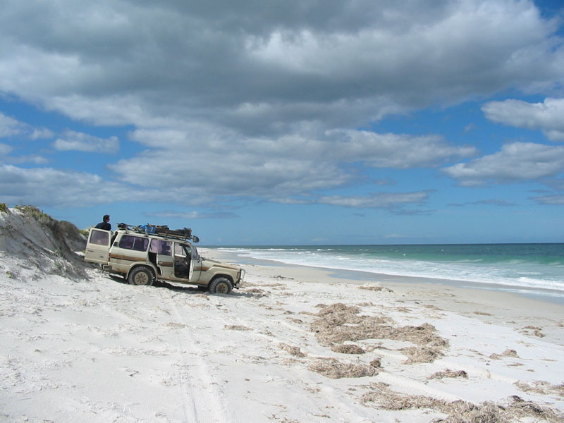
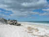
The incredibly white sand
of the beach at Israelite Bay |
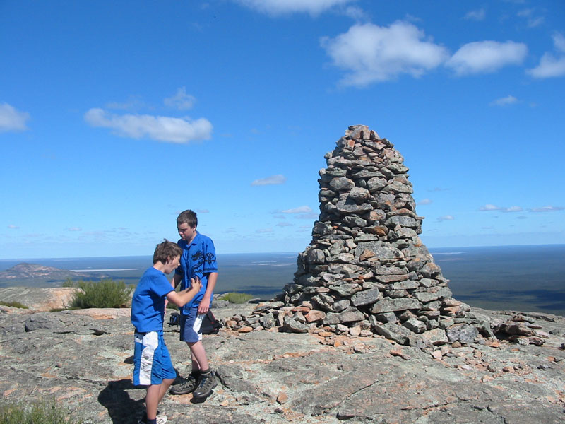
Sam and Tom at the top of
Peak Charles - a difficult climb |
|
| June - July
2003 Broome or Bust!
Crossing Central Australia to Northern Western Australia |
Two Four Wheel Drives -
Four Adults and Three Kids across the centre of Australia to Broome...!
 |
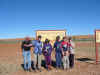
Click on the map for the
route we took - Judy, her son Tom, my parents Fay and Ron, my son
Sam and niece Jade - We travelled up the Stuart Highway to Alice
Springs - then up the Tanami track across the Tanami Desert to Halls
Creek. Then Kununurra, Gibb River Road, Mitchell Falls, Kalumburu,
Derby Broome, then down the West Coast to Perth and the Indian
Pacific Train to Adelaide. |
|
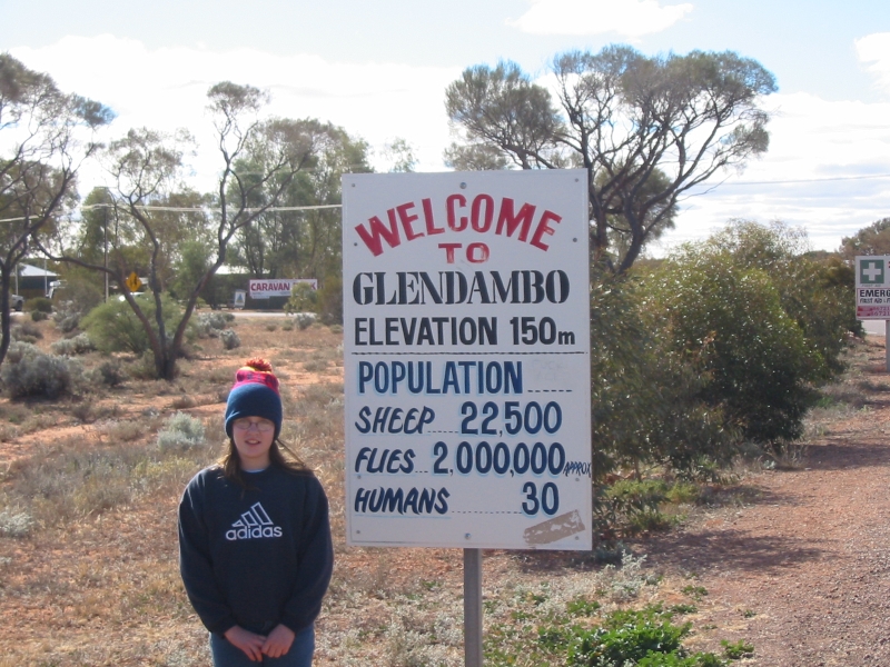
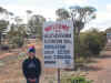 |
Jade one of the few humans (check the
sign) at Glendambo |
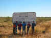 |
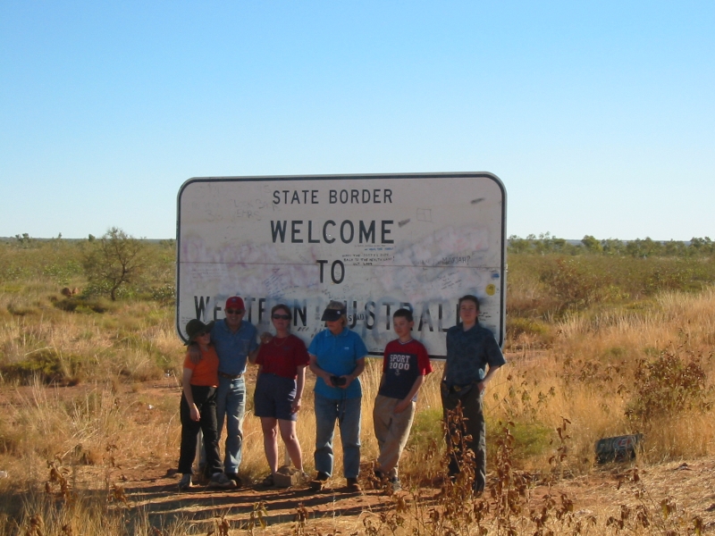
Everyone at the WA Border about 800
kilometres up the Tanami track |
 |
One of our bush campsites on the Tanami
- in Western Australia |
 |
Looking up - Cathedral Gorge - Bungle
Bungles |
 |
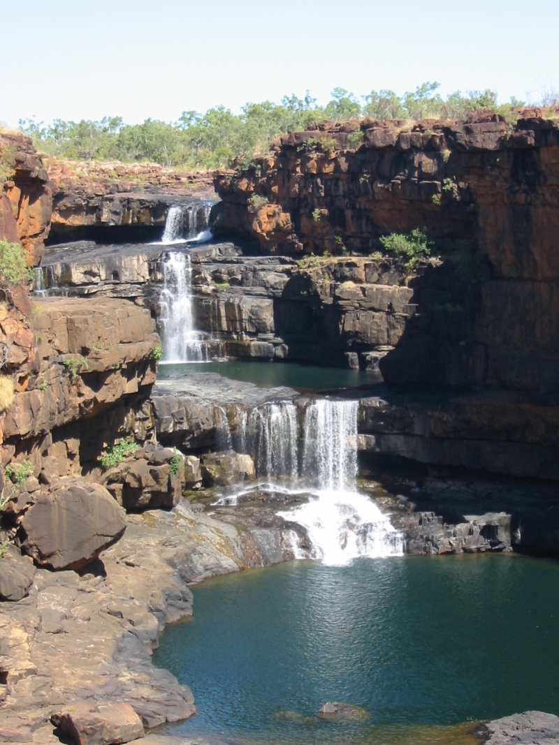
Mitchell Falls - Western Australia : A
hot walk from the campsite |
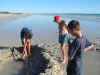 |
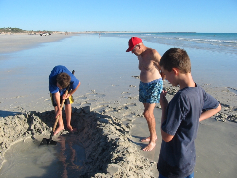
Building Sandcastles - Cable Beach
Broome Western Australia |
 |
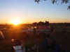
We had a great BBQ on Cable Beach
Broome at sunset |
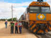 |
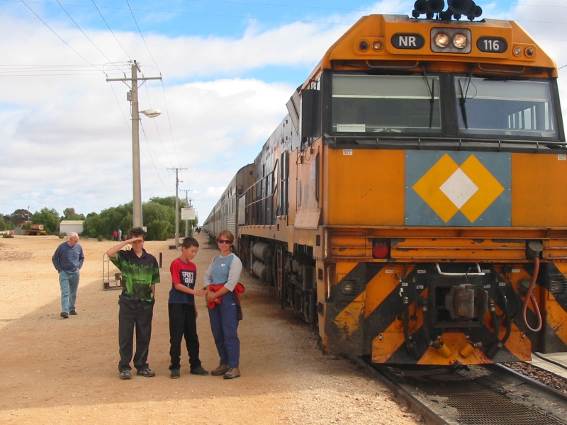
On the Indian Pacific on the way across
the Nullabour - stopped at the almost deserted town of Cook |
|
|
|
| Nullarbor Mt Ragged
Israelite Bay 1996 |
Crossed
the nullarbour, went south from Ballendonia Roadhouse via a four-wheel
drive track to Mt Ragged. Climbed Mt Ragged went south-east to Israelite
Bay. Then west to Esperance.
 |
 |
|
Mt Ragged |
Nullabour Cliffs |
|
| Broome - Tanami
Track |
Have
been to Broome Western Australia - (a wonderful place) twice via the Tanami track |
| Fraser Island
Queensland |
Crossed
to Fraser Island- stayed at several camp-sites on Fraser Island -
four-wheel drived up the ocean beach |
| 1992- Simpson Desert
crossing - West East |
Its a bit
hopeless I know - but we didn't take a camera! . crossed the Simpson
desert via the French Line, got bogged in Eyre Creek
|
| Darwin - Kakadu -
Wyndam Broome Monkey Mia - Steep Point 1993 |
 |
 |
 |
| Swimming in a
waterhole Litchfield National
Park |
roadside stop Stuart
Highway heading north |
Boab Tree Derby
Western Australia |
|
|