 |
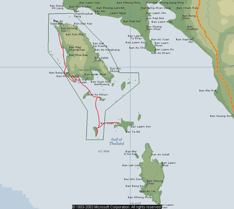
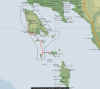
This is a map of the area we kayaked marked in
red. Down the West coast of Koh Chang along the south coast and down to
the island south of Koh Chang |
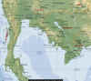 |
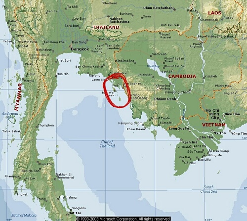
This is a map of the Gulf of Thailand, the area we are paddling in the map above is circled
(click on map for larger view) |
|
|
|
After waiting several days for the Kayak to clear Thai customs, we
changed plans and decided to head to Northern Thailand first- flying to Chang Mai, and then busing to Chang Rai. |
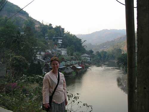
| We took a local bus to Mae Sai, which is the Northern-most town in Thailand. We are staying in a hut next to the river that is the border with Burma (Myanmar) |
 |
 |
 |
 |
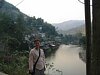
| A view of the place we stayed at and the river-left Thailand-right Burma (click for larger view) |
The hut we stayed in Mae Sai, the balcony overhanging the river-a good location to watch the illegal border crossers wade the river |
We crossed the border into Burma, at a cost of $A8. They have extensive markets with Chinese fake western goods- fake Marlboro cigarettes, and lots of DVD copies (including the boxes) |
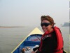
We drove with a guide around the Golden Triangle area. We took a 'Longtail' boat on the Mekong River to a 'village' in Laos. We also visited the newly opened Hall of Opium |
|
| We took a plane to Siam Reap in Cambodia-to see Ankor Wat |
 |
 |
 |
 |
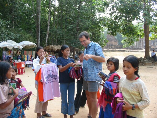
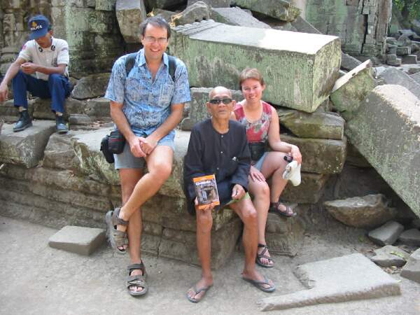
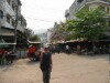
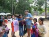
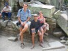
| At the temples there are lots of sellers that plead with you to buy some of their wares |
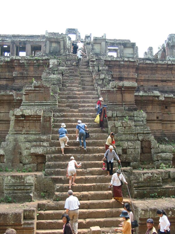
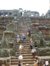
Climbing temples was hot work in the sun. The temple steps are especially steep |
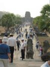
Crowds at Anchor Wat-even though this was 'low' season |
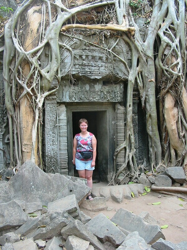
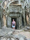
Some of the temples were very overgrown in the last few centuriesr |
|
Cambodia is a very poor country- lots of underemployment |
 |
 |
 |
 |
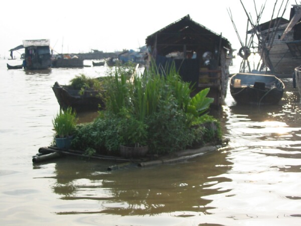
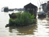
| We went with our driver and guide to a floating village on the largest freshwater lake in South-east Asia- this is a floating garden attached to a floating house |
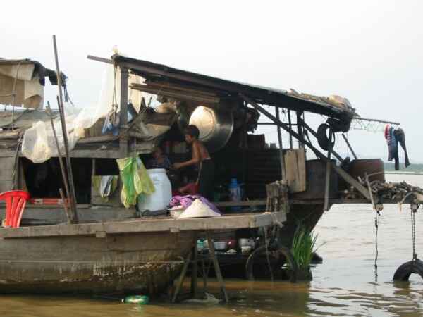
A floating house on Tonle Sap Lake. This floating village has about 1500 people, with five other villages elsewhere on the lake |
The 82 year old Cambodian who is on the front cover photo of the Cambodian Lonely Planet Guide (click any of the pictures for a larger view) |
Yet another one of the many trees that has grown on the roof of a temple-sending roots down to the ground |
|
| We flew to Trat from Bangkok-with our 95 kilos of baggage (including the kayak), then by mini-bus and ferry to Koh Chang Island |
 |
 |
 |
 |
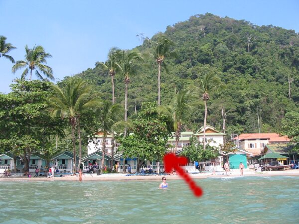
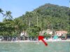
| Judy swimming in front of the Bungalow on White Sands Beach- Ko Chang Island (see red arrow) |
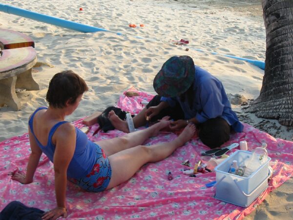
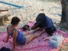
Judy having her toes painted blue after an hour of Thai massage |
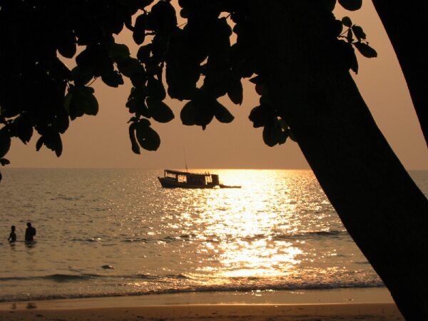
Sunset from our balcony at White Sands beach |
Assembling the kayak in front of the bungalow, with various Thai onlookers |
|
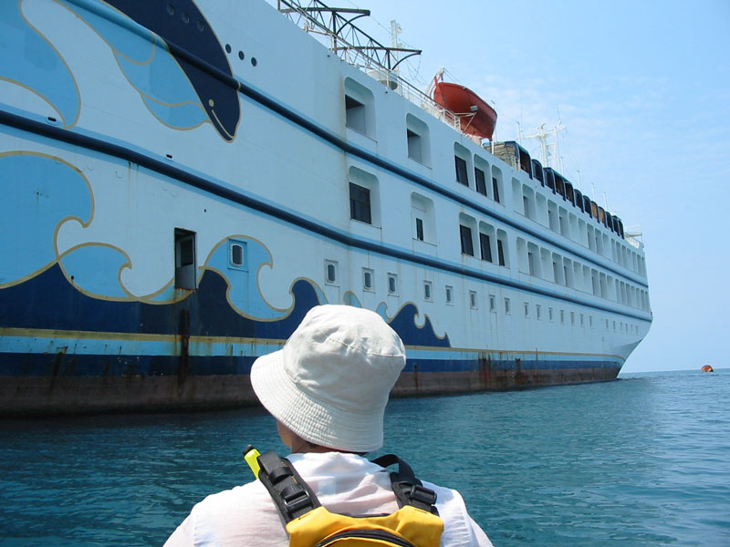
| Kayaking down the coast of Koh Chang Island. The first day we dldn't get far - leaving late and hitting headwinds and waves. The second day was easier - lunch on one island and camping on the second (see map above for route) |
 |
 |
 |
 |
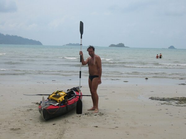
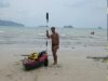
| Ready to kayak on the second day. Still a headwind but we are fitter than day one. |
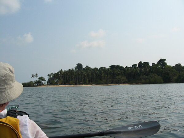
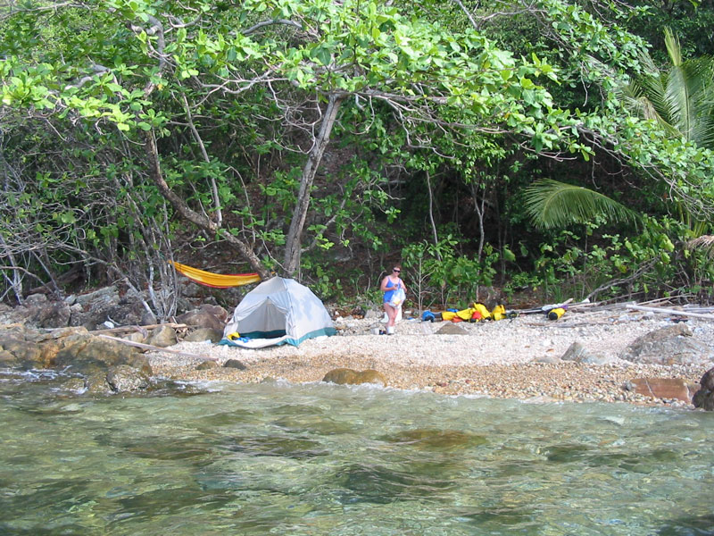
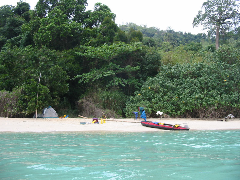
Our destination for day 2- uninhabited Koh Man Nai island which we camped on for the night |
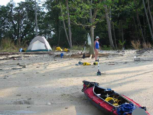
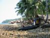
Our camp site on Koh Man Nai island - not exactly pristine, as there was lots of junk from an abandoned attempt at building a resort |
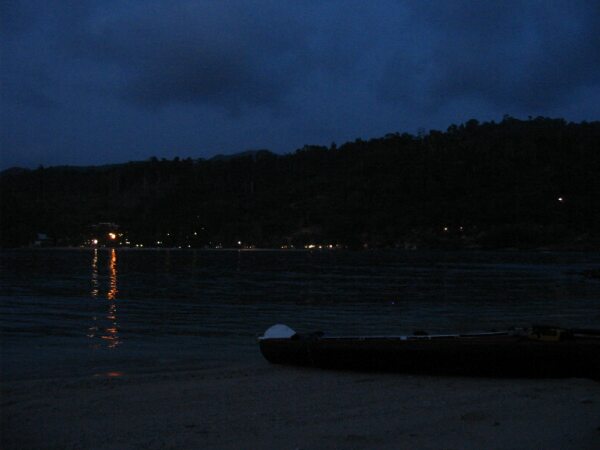
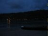
The lights of the resorts on the main island of Koh Chang from our island camp on Koh Man Nai island |
|
|
|
| Day 3 we paddled from our island camp down to Lonely Beach and Treehouse Lodge-a very laid back haven for backpackers. We struck problems with the tide rising much higher than we thought, and leaving the kayak to get two holes in it bashing against the balcony of the bungalow |
 |
 |
 |
 |
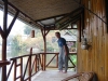
| Repairing the kayak - it took two attempts over two days to get it right. The kayak is in front of our bamboo hut- the tide
rises right up to the base of the hut |
|
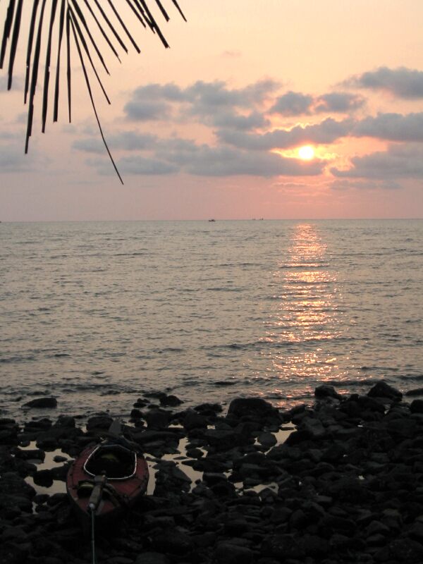
Sunset from our hut at treehouse lodge. At night we could see the lights of the many fishing boats that were fishing the Gulf of Thailand |
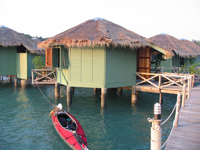
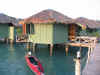
Our seahut at Bang Boa,
just park the kayak outside. It was probably the most upmarket and
comfortable place we stayed at. |
|
| We paddled from
treehouse down the coast and round into Bang Boa. From then along the
coast east, then across to Koh Khlum and then to Koh Wai |
|