|
| |
June 2009 - Judy and I intended to Canoe down the Warbuton river from near Cowrie Station to Lake Eyre. However there just was just now enough water in Lake Eyre for us to paddle across the lake. So after paddling 15km down the Warburton towards Lake Eyre, we turned back.
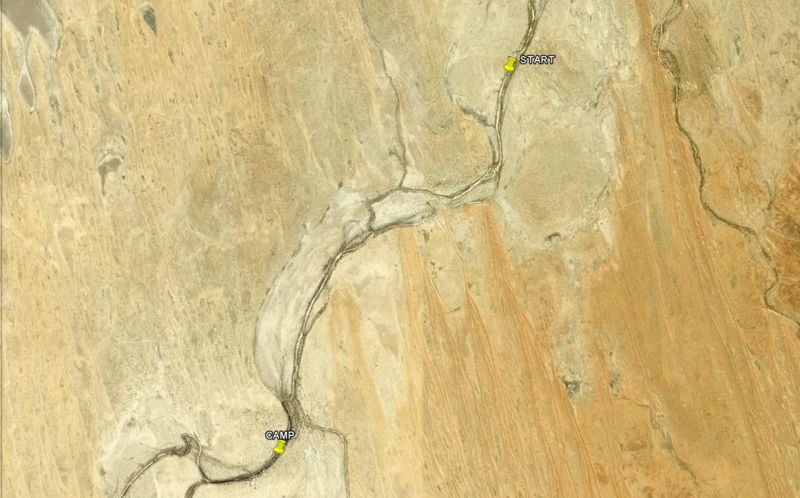
The area of the Warburton River we paddled on. |
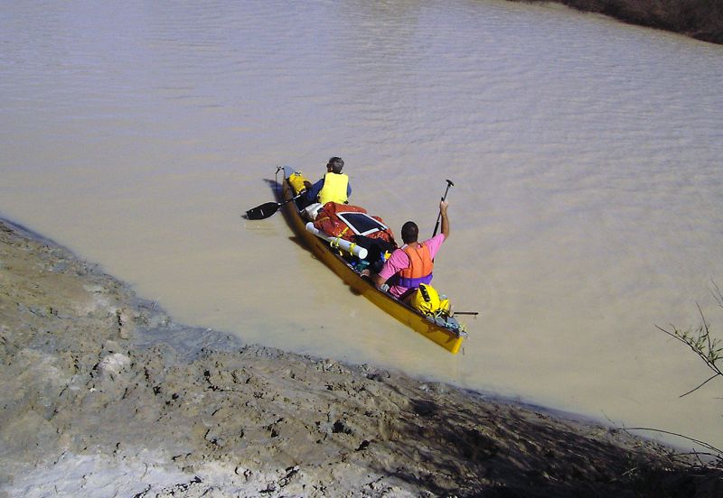
Left - We set off in the well loaded Candian Canoe on the Flooded Warburton River. The Warburon has dropped a lot from its high some weeks earlier, so the river banks were very deep mud. |
|
|
.

The fast flowing Warburton River. Across the river is a Simpson Desert Sand Dune. The Warburton flows along the eastern edge of the Simpson Desert, one of the most remote deserts in Australia. |
|
Green new growth on the Warburon River Flood plain. This area had been completely flooded. It is one of the driest areas in Australia, yet rainfall hundreds of kilometres away, had taken months to flow down the Warburton River, greening an area normally desert.
|
|
|
|
. 
The area we paddled on the Warburton River. The area is accessed via the Birdsville Track in North-Eastern South Australia. It is on the eastern edge of the Simpson Desert.
|
|
. 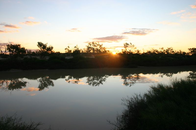
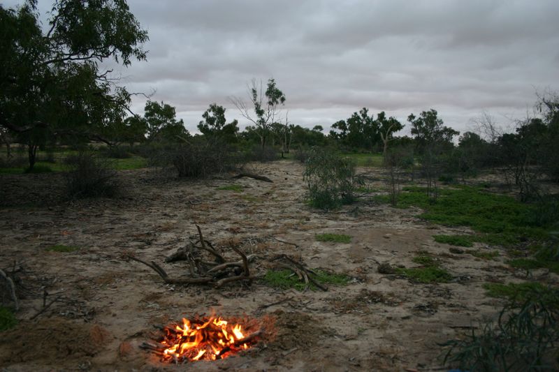
The Warburton River at Sunset
|
|
.
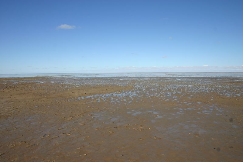
After finishing our canoe trip on The Warburton River, we travelled to Lake Eyre to see how much water was actually in Lake Eyre. Not much!. After walking several hundred metres out, this was the water that could be seen in Lake Eyre.
Compare this with the water we found in Lake Eyre in 2000
I don't recommend staying in the William Creek Caravan Park. The park owners were happy to have a loud party run until 2:00am in the morning, and made no effort to stop this party waking up everyone in the park.
|
|
| |
|