Information about the Hornstrandir Nature Reserve
HornstrandirThe Hornstrandir Nature Reserve was established in 1975. Its boundaries are in the Skorarheiði moor between the fjords of Hrafnsfjörður and Furufjörður. The Reserve area thus covers the Hornstrandir region, part of the Jökulfirðir fjords (or the rural district of Sléttuhreppur) and part of the district of Grunnavíkurhreppur. The Environment and Food Agency is responsible for the Reserve.
A deserted area – still utilised
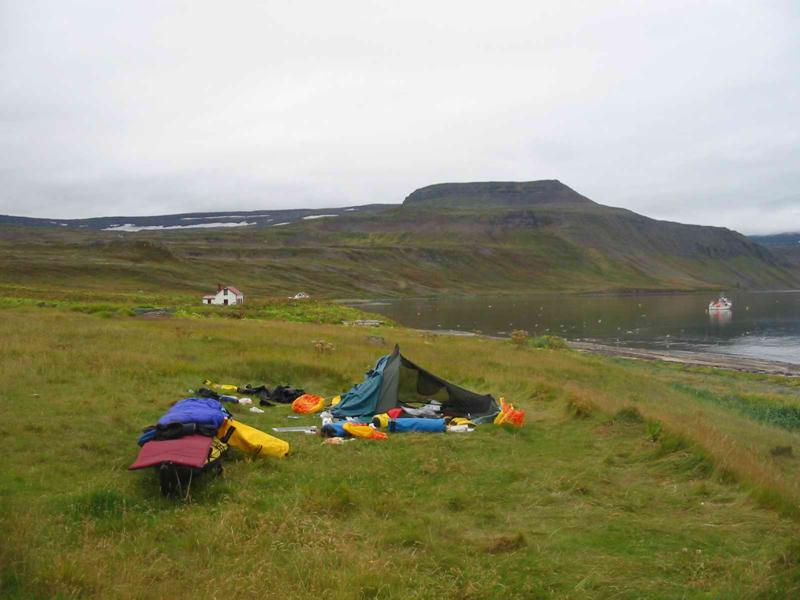
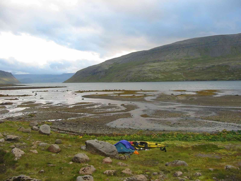
Social changes resulted in the abandonment of all farms during World War II and in the post-war period. The land is mostly private property and the landowners are entitled to its traditional utilisation, i.e. eider farming, fishing in rivers and lakes, hunting birds and gathering eggs. A few dozen houses are located within the Nature Reserve area, both old, renovated farmsteads and new summer cottages. People often spend the whole summer in these houses, and it is important that tourists refrain from pitching their tents too close to them.
History
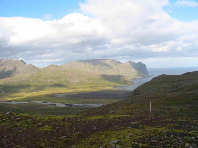
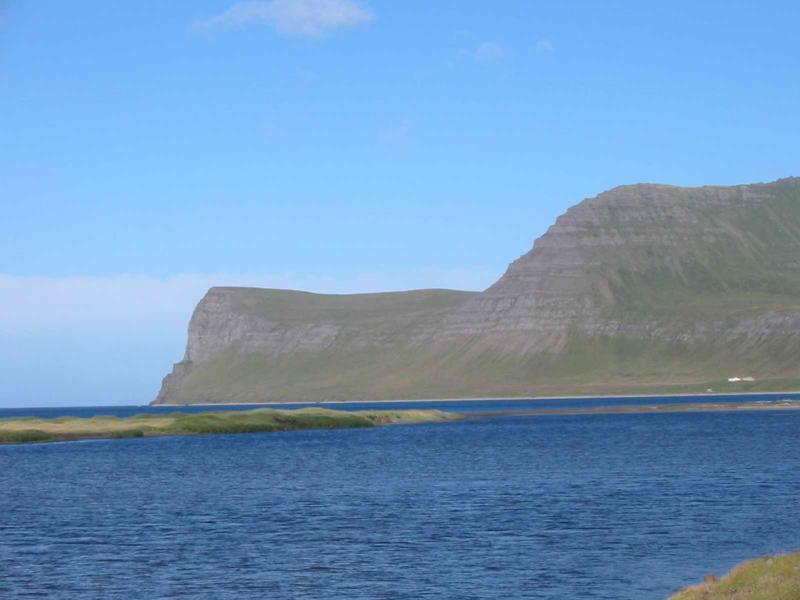
Hornstrandir, HælavíkurbjargThrough the ages, nature and human life in Hornstrandir were closely interwoven. Traditional agriculture was always limited; instead, the inhabitants based their livelihood on the sea and bird-cliffs. Trips between farms were difficult, during the wintertime. Outlaws travelled to Hornstrandir in order to board foreign ships and leave the country. On top of all this, attacks of polar bears could also be expected. As a result of these conditions, the history of the region assumes a depth which gives an added dimension to visits to the Nature Reserve. The primary factor that made farming in Hornstrandir different from that of other parts of the country was the struggle with the bird-cliffs. The cliffs were an important source of food, but their utilisation was hazardous.
Flora
Blálilja, HornstrandirAbout 260 species of flowering plants and ferns are known to grow in the Nature Reserve area. Most of these species are common in the West Fjords, but there are also rare species in the region. The region has been totally preserved against grazing for several decades. Continuous growth reaches an altitude of no more than 300-400 metres, Examples of beautiful plants in the reserve are sea pea and sea lungwort, which can be seen on the beaches. Because of the heavy snowfall, the land is in the process of shedding its cover of snow throughout the summer. The vegetation is therefore extremely sensitive and must be approached with great care.
Fauna
Hornstrandir, RefurField mice are common in the area, but foxes are the prevailing mammals. Seals, are a common sight on the beach. About 30 species of birds nest in the Nature Reserve, and many more species can be observed. The most interesting points for bird-watching are the bird-cliffs, Hornbjarg, Hælavíkurbjarg and Riturinn, with their superabundance of birds.
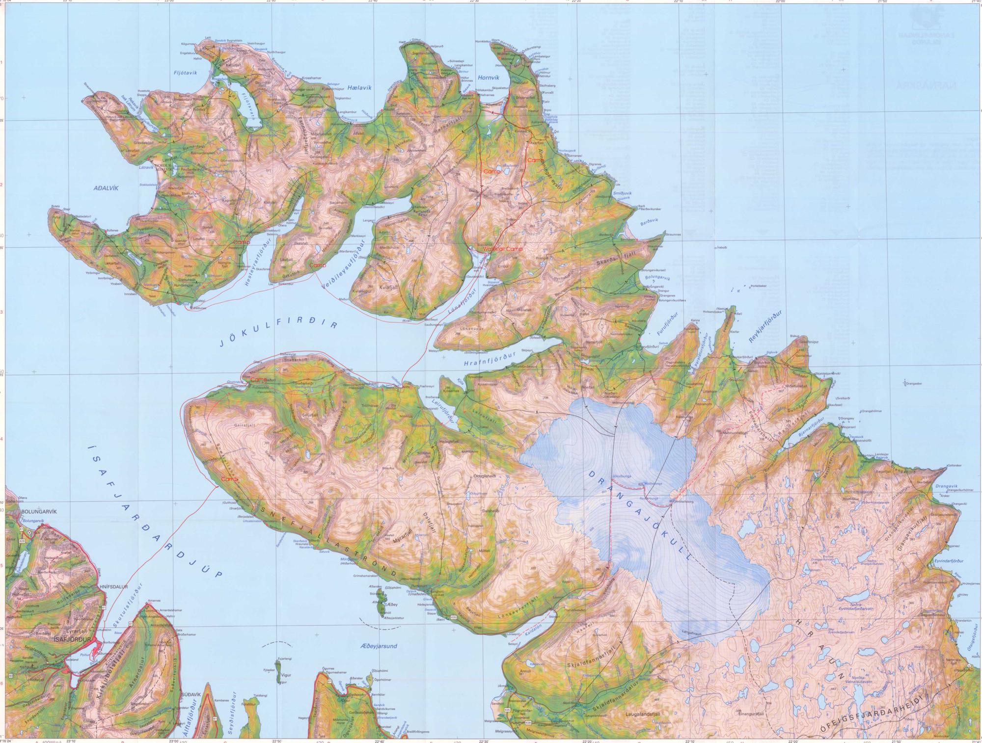
Getting to the Nature Reserve
The simplest way to approach the area is by boat from the west (from Bolungarvík or Ísafjörður) or from the east (from Norðurfjörður or Hólmavík). The most popular stops are Hrafnsfjörður, Veiðileysufjördur, Hesteyri, Sæból and Látrar in Aðalvík, Hornvík, Bolungarvík and Furufjörður.
Weather and equipment
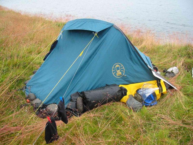
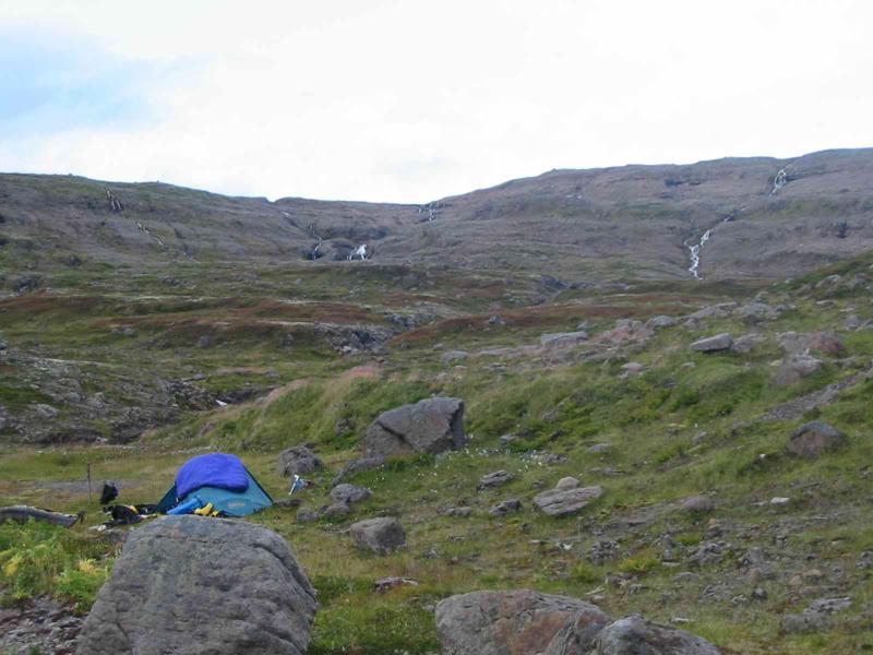
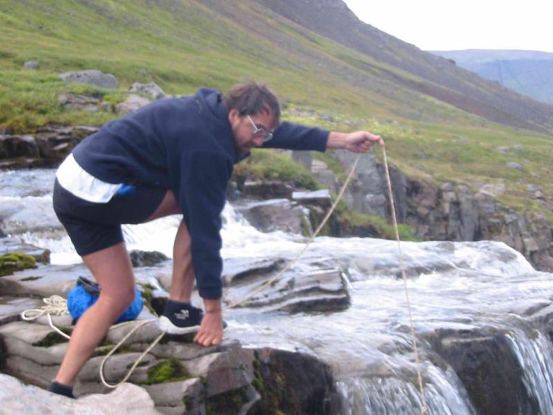
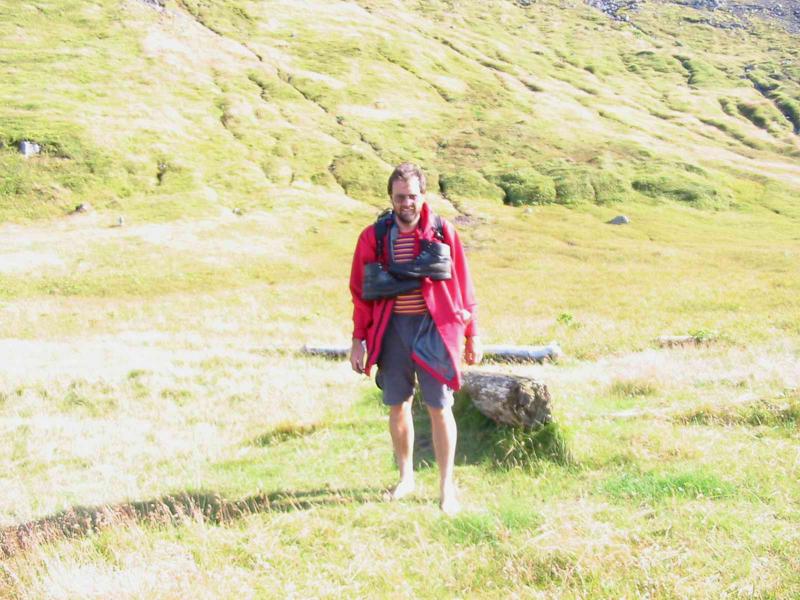
Hornstrandir, Tourists must bring along tents and good clothing. Snow can be expected at any time of the year and storms can break with little warning. Thick fog often occurs in the region. Being able to use a compass can come in handy. All food must be brought along, and visitors should be prepared for delays. Boats are not always available to collect people at scheduled times. There are radios in emergency huts. A trip to Hornstrandir must be well organised. Good maps are essential, and excellent brochures on hiking routes are available. Further information can be obtained from the Nature Conservation Agency, the West Fjords Natural History Institute and the Tourist Information Centres in Ísafjörður and Hólmavík. |