Wattle Point to east of Kemp Bay

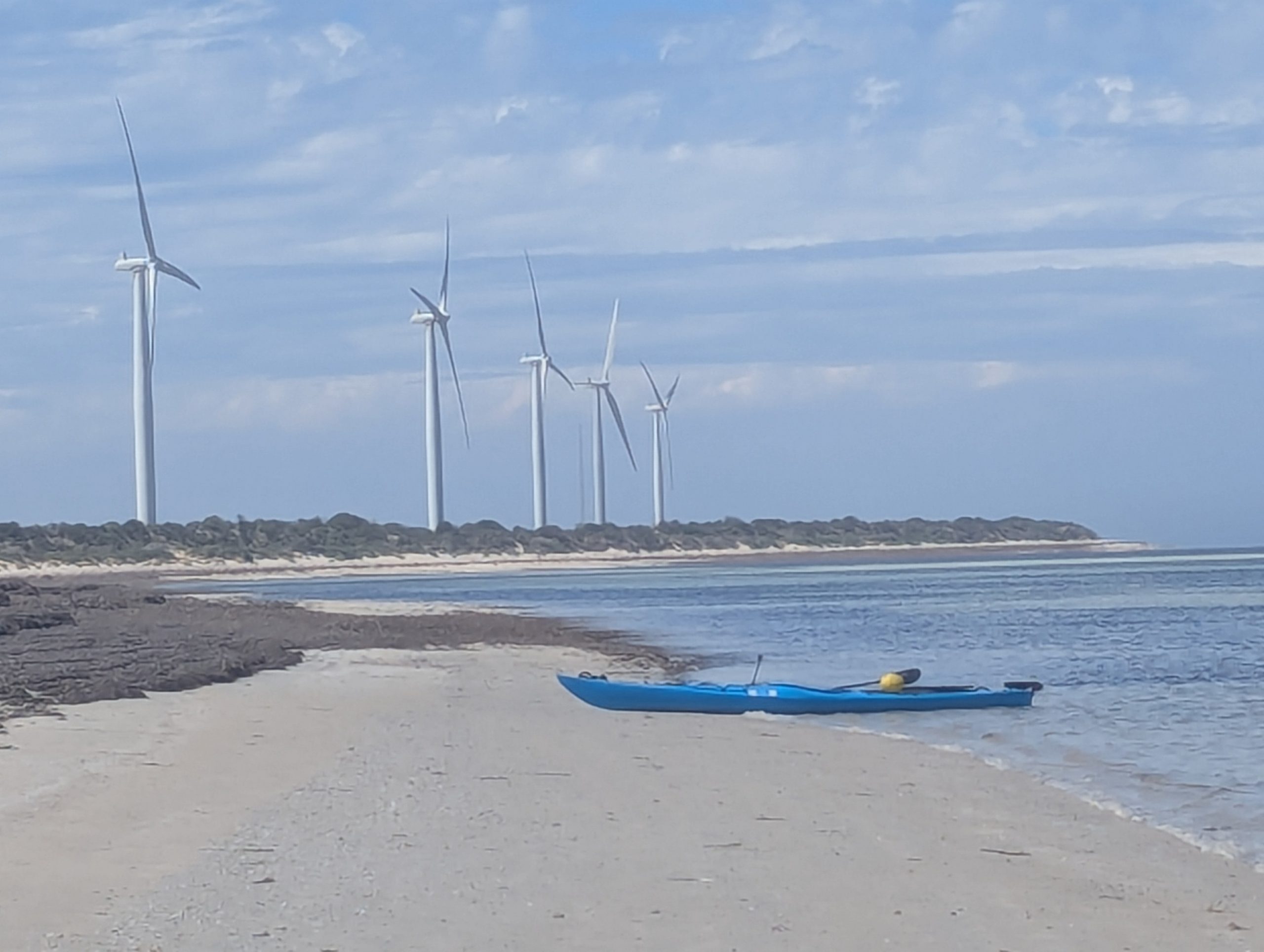
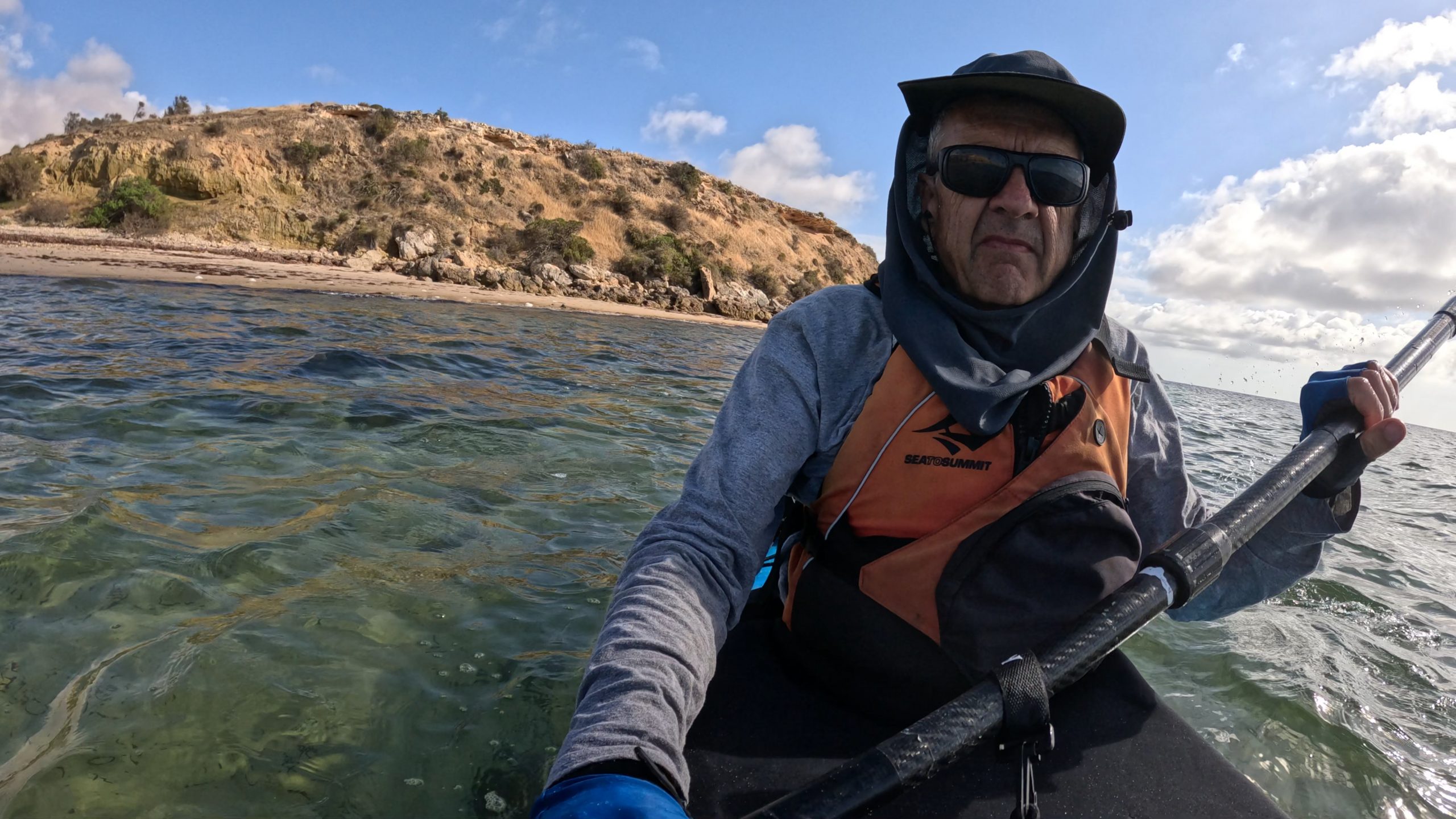
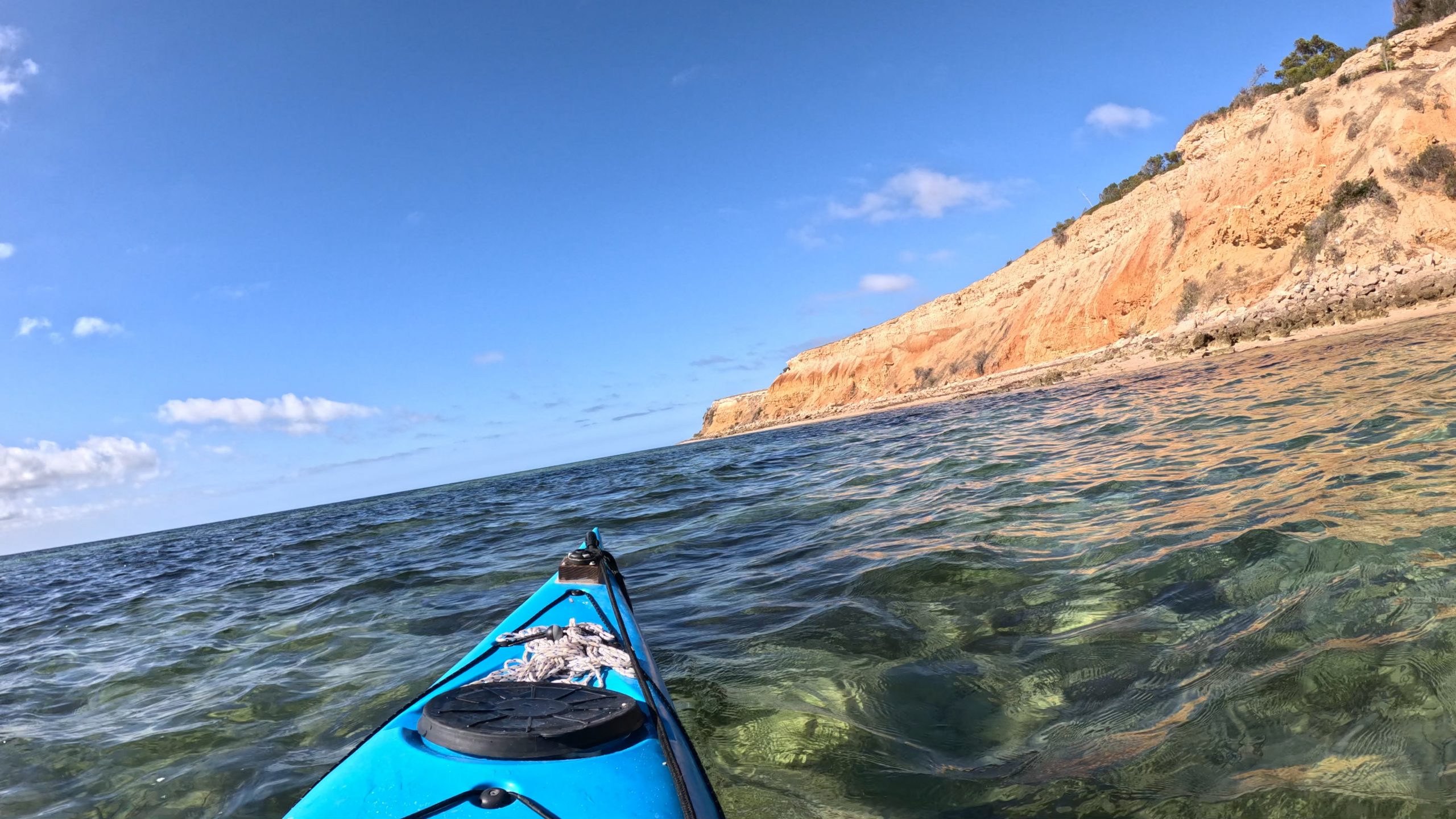
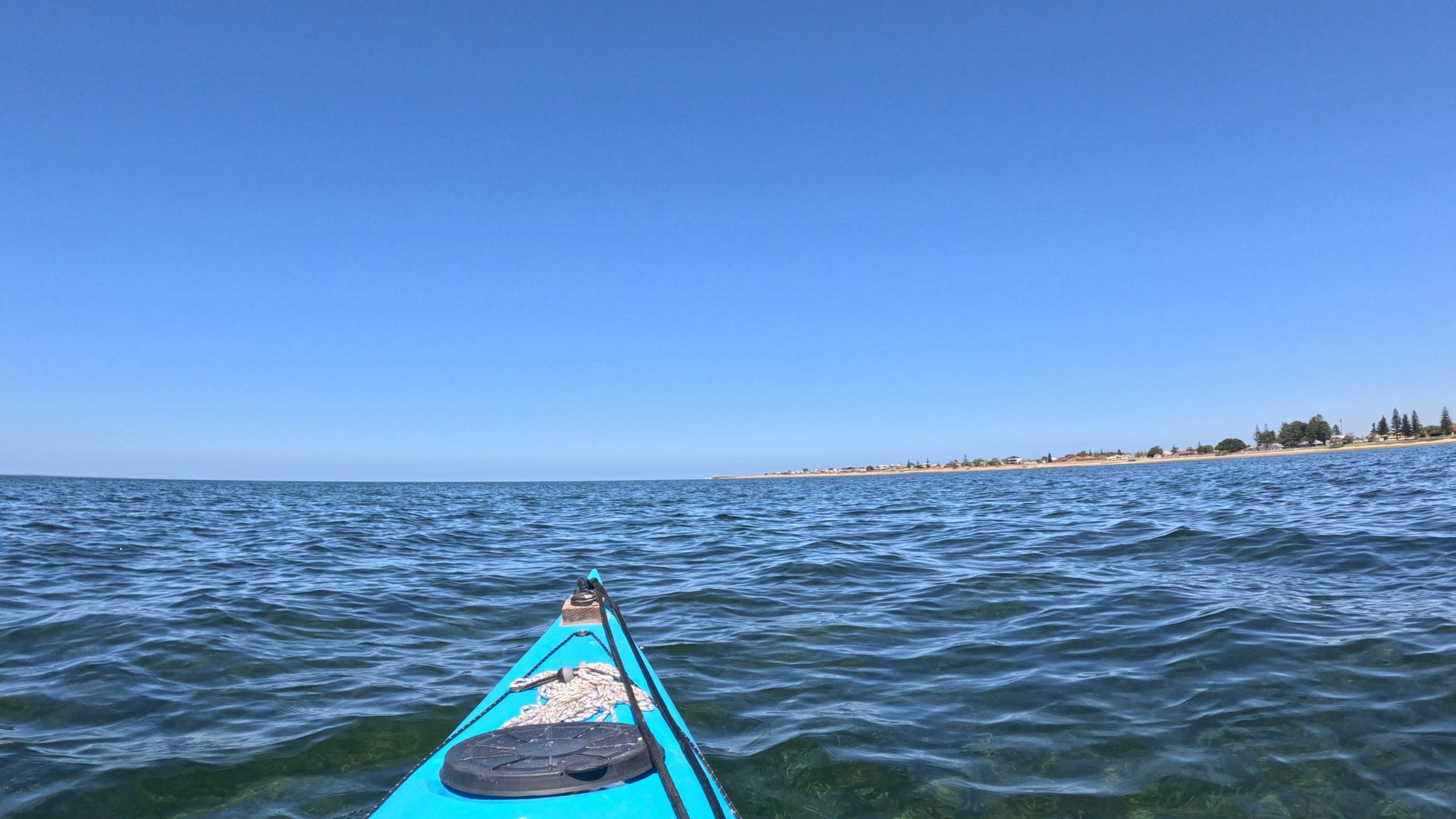
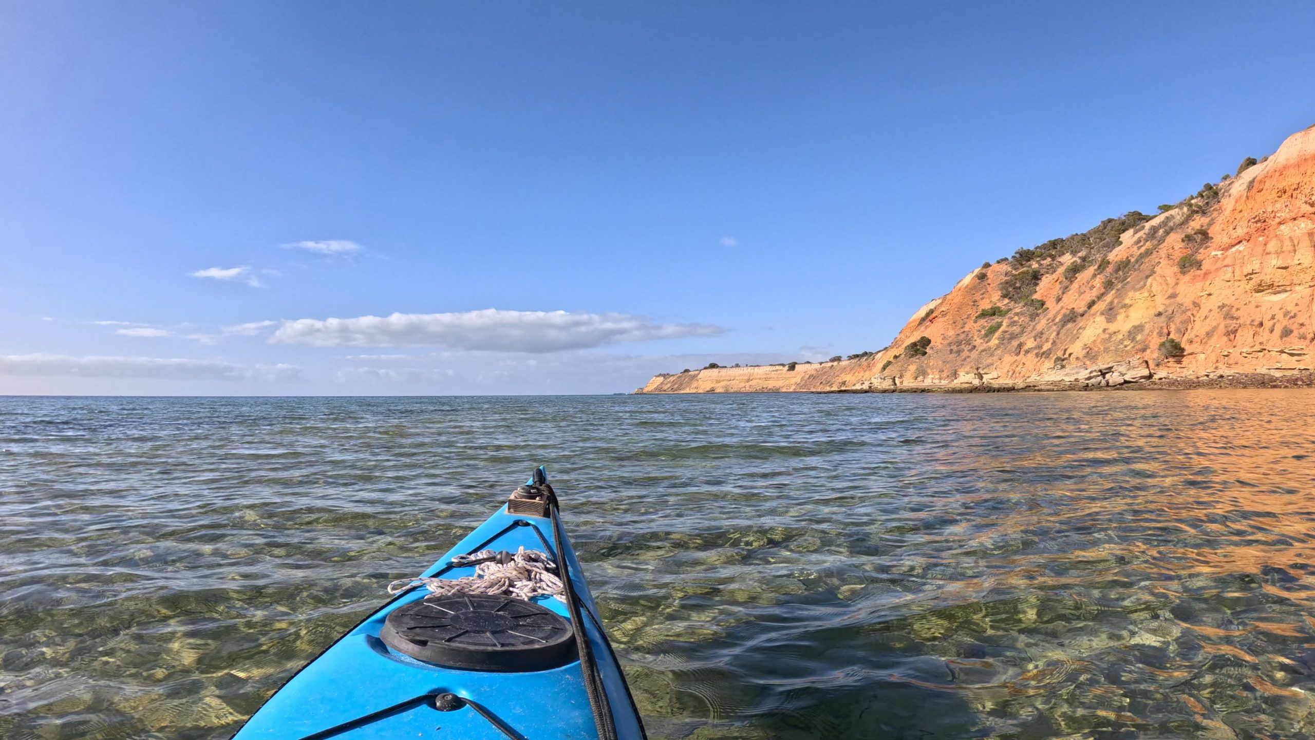
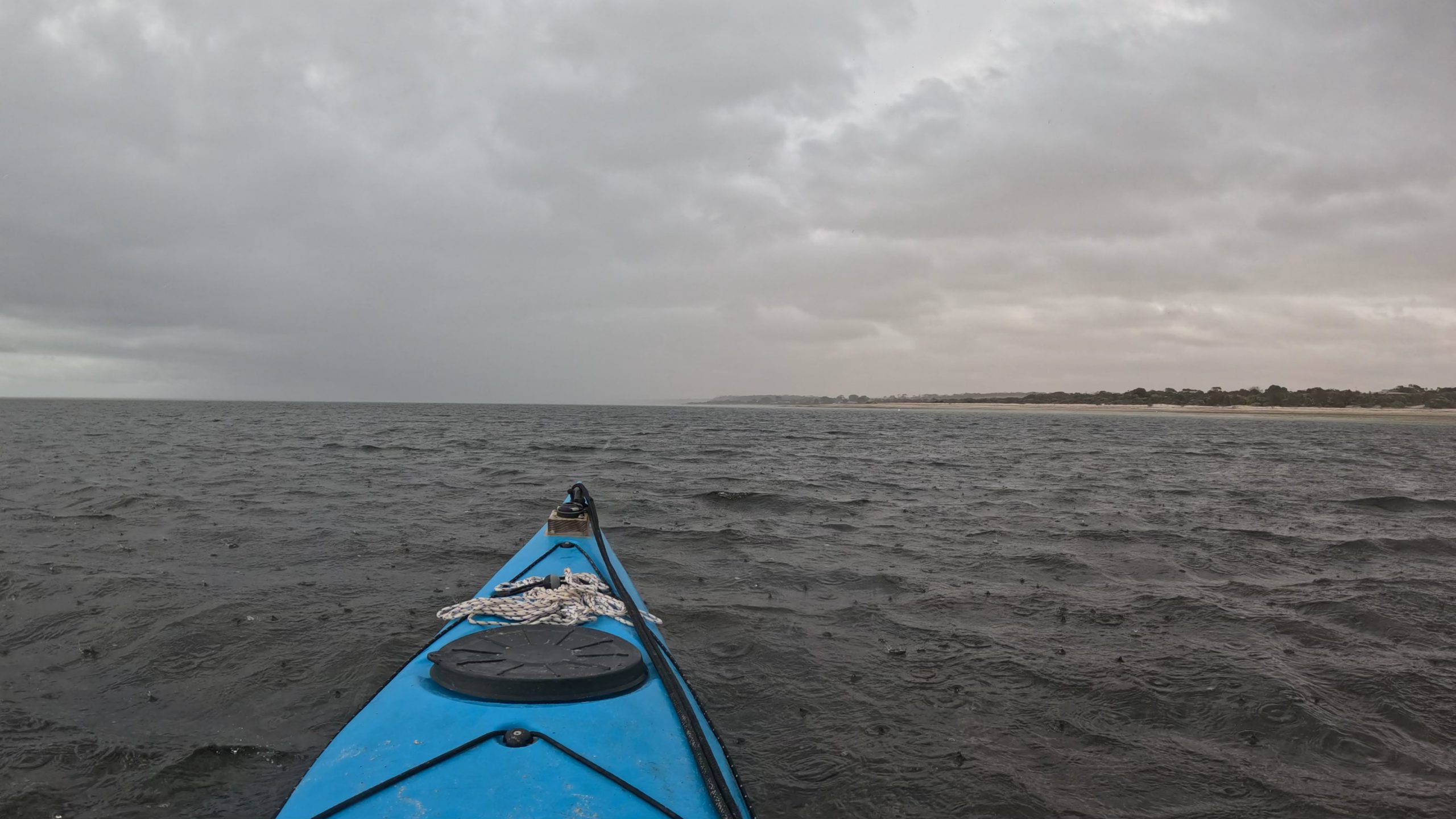
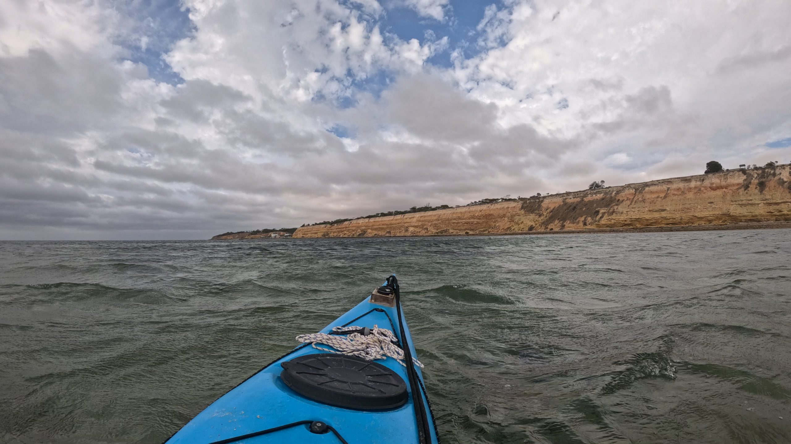
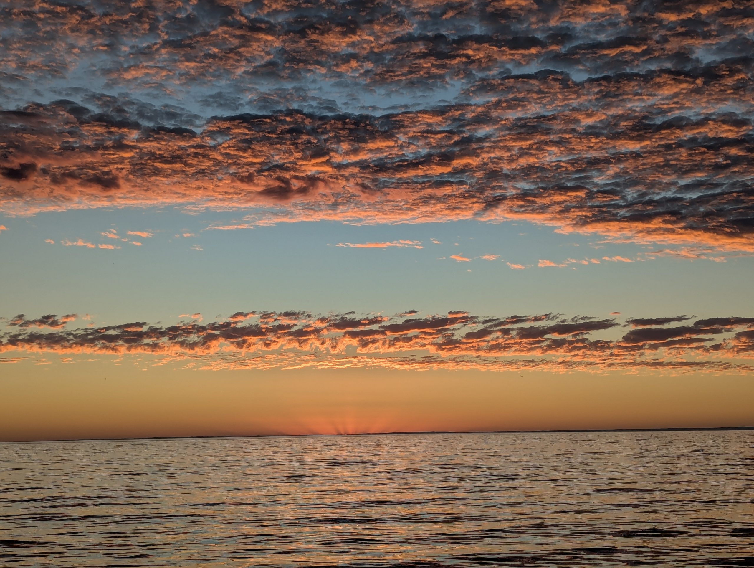
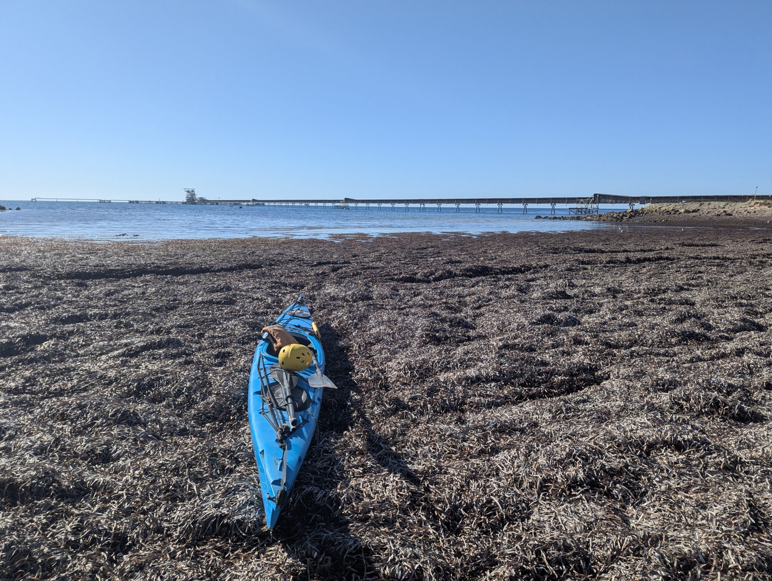
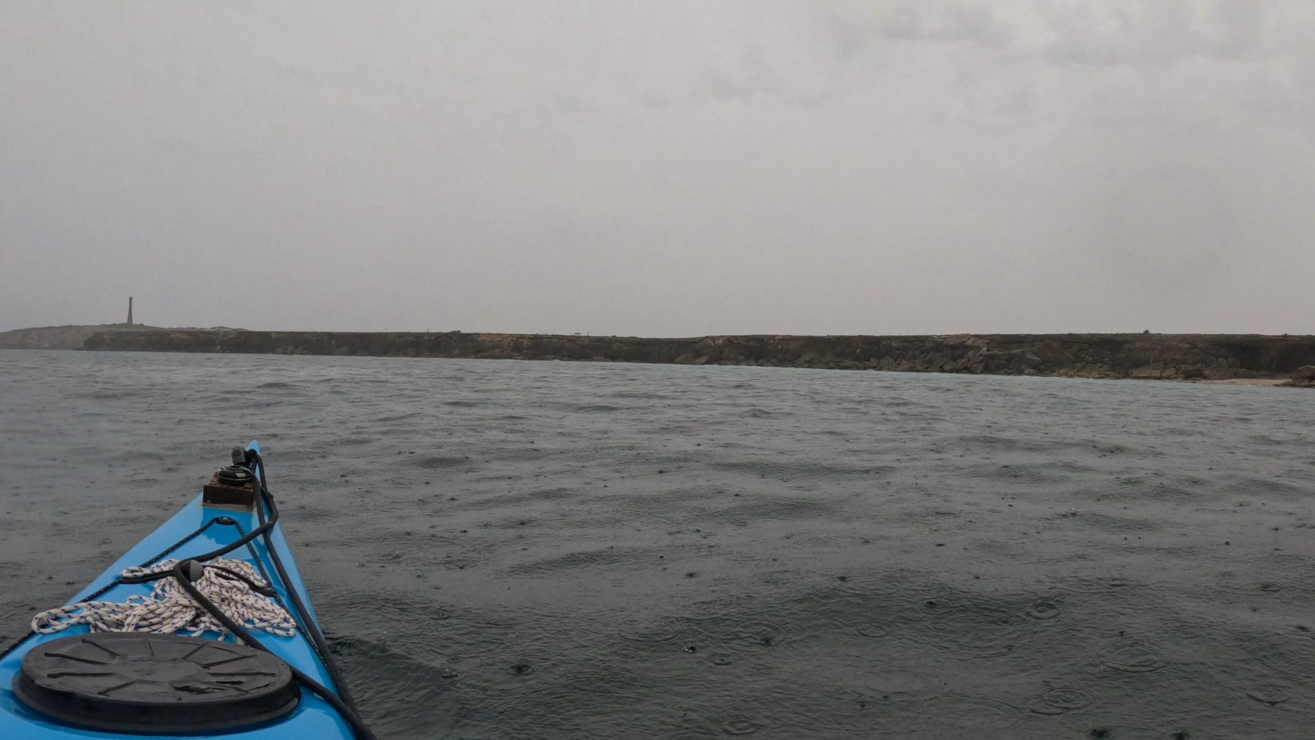
It was a warm night but it rained a couple of times. I woke up early to cook breakfast and get going early, but the rain slowed me down. I left at 8:45am. I had to drag the kayak about 50m because the tide had gone out of the shallow area I was camped near. This was the section of the paddle I was most concerned about, the Troubridge lighthouse section. It was 5km of exposed cliffs with nowhere to land. The swell wasn’t too bad, it needed a few detours to get past low rocks before I could start it. Then I was out on the Troubridge lighthouse section. I could see the lighthouse through the most and rain.

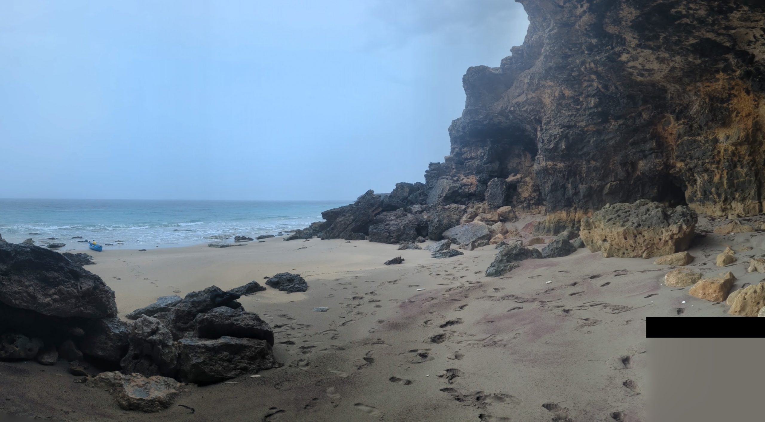
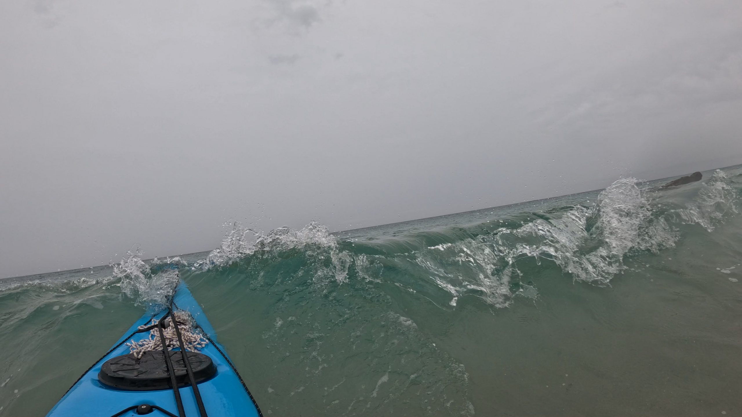
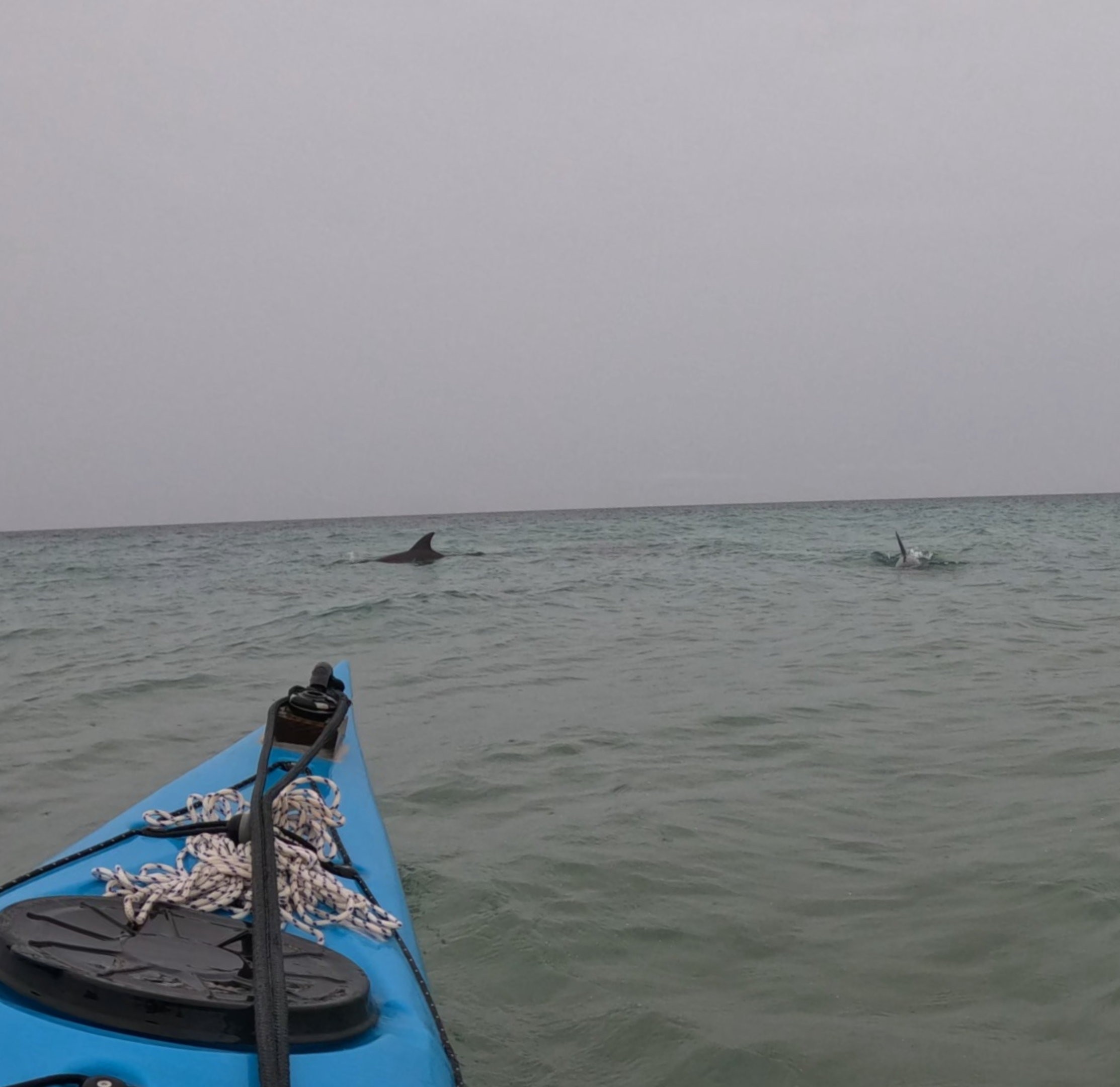
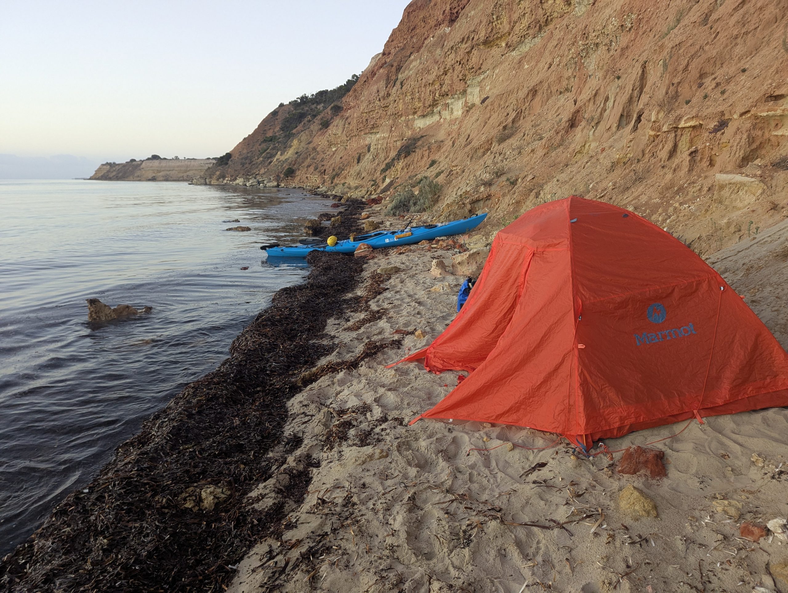
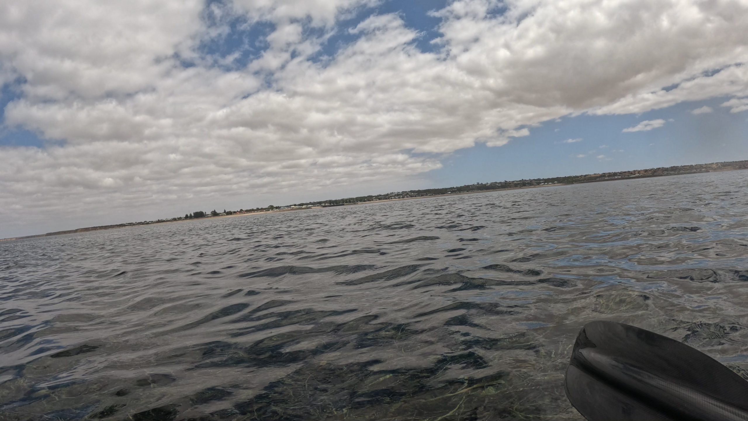
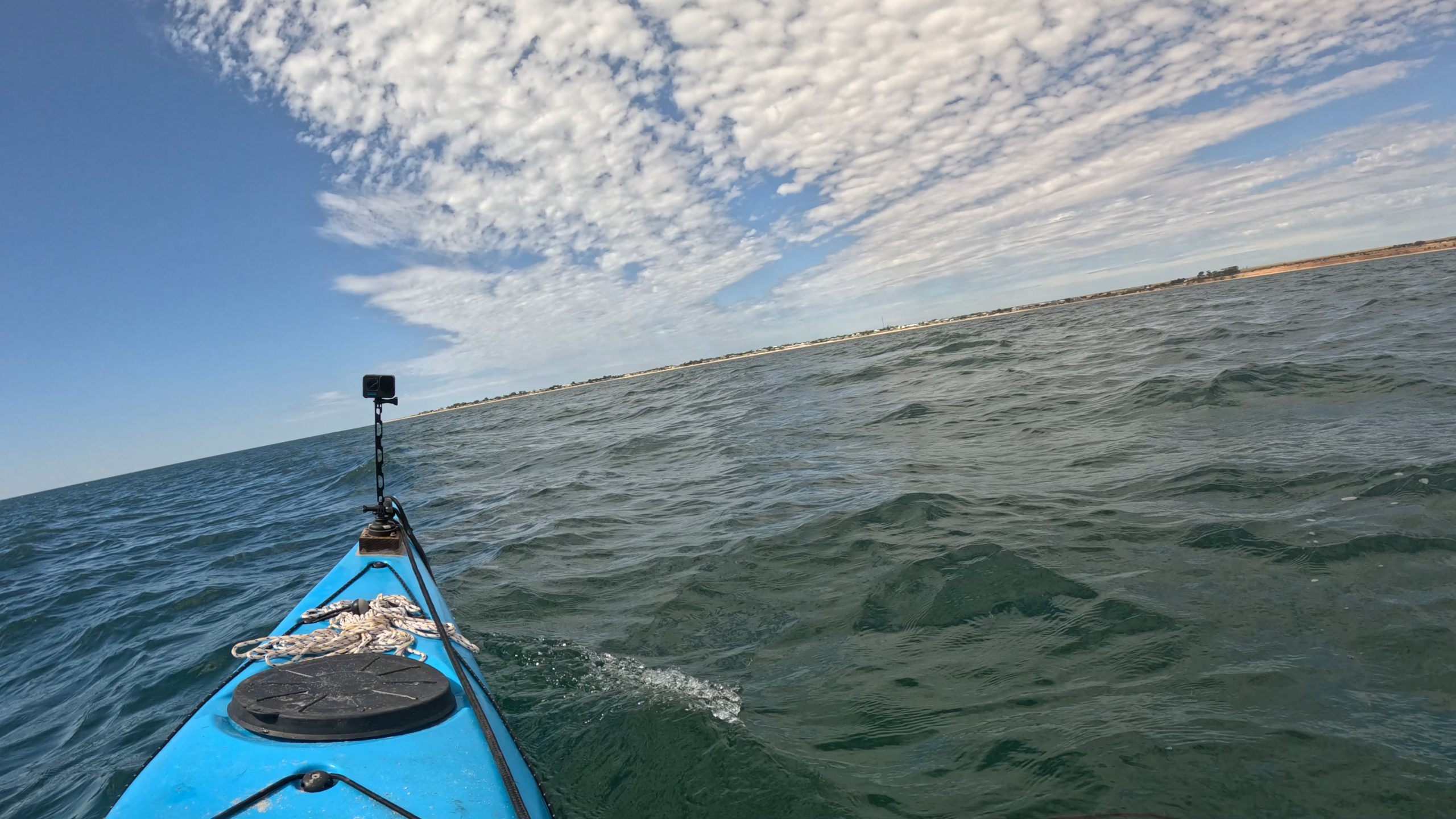
It went ok, dodging rocks, until I got near Troubridge lighthouse where I found a beach I could land on. It was a beach and cave. I had a stretch, and then headed back out. I left the shore but didn’t time the swell right. I went through a wave that was breaking on the way out and got a bit wet as a result. I got past the lighthouse and the whole cliff section and stopped at another beach. I had another stretch and tried to warm myself up. It was continuous rain, and because I had got so wet leaving the cave beach, I felt cold. When I left this beach, as I was cresting a wave, I had two dolphins swim underneath the kayak, so close I was afraid I would hit them.

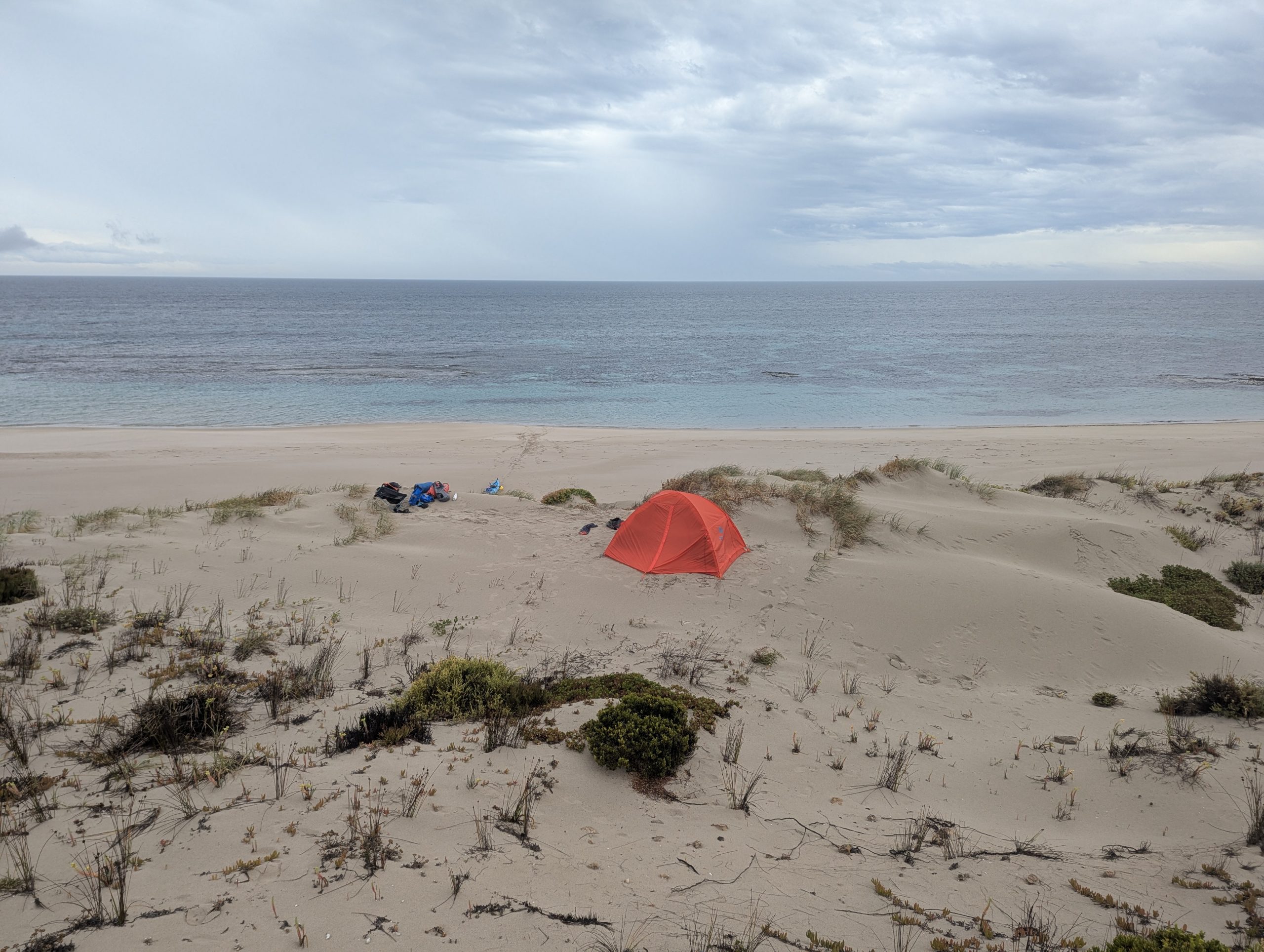
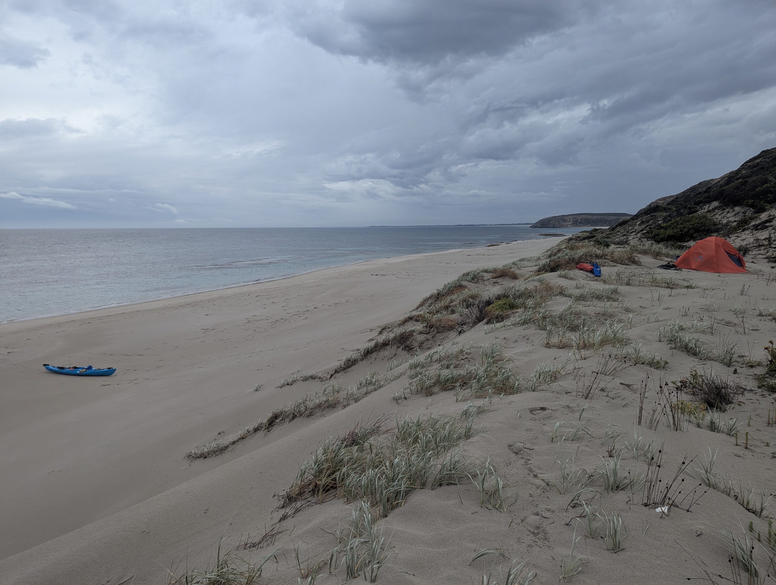
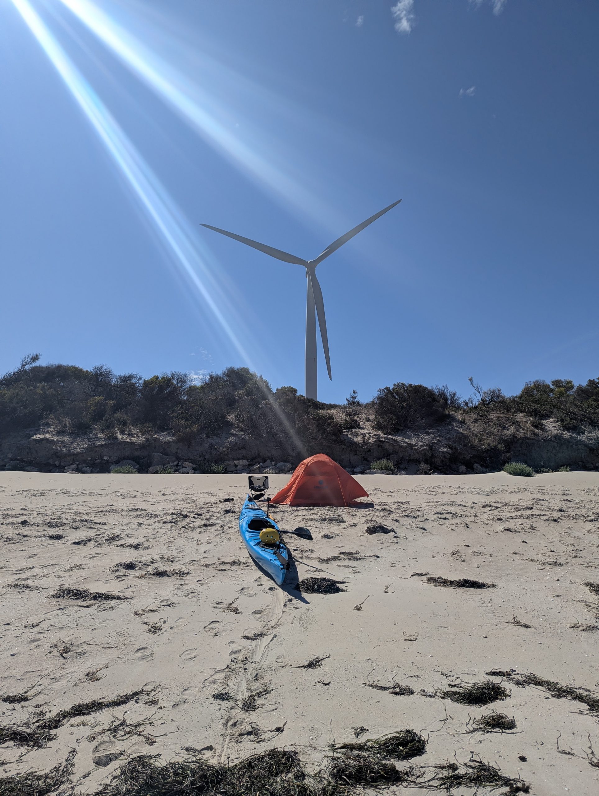
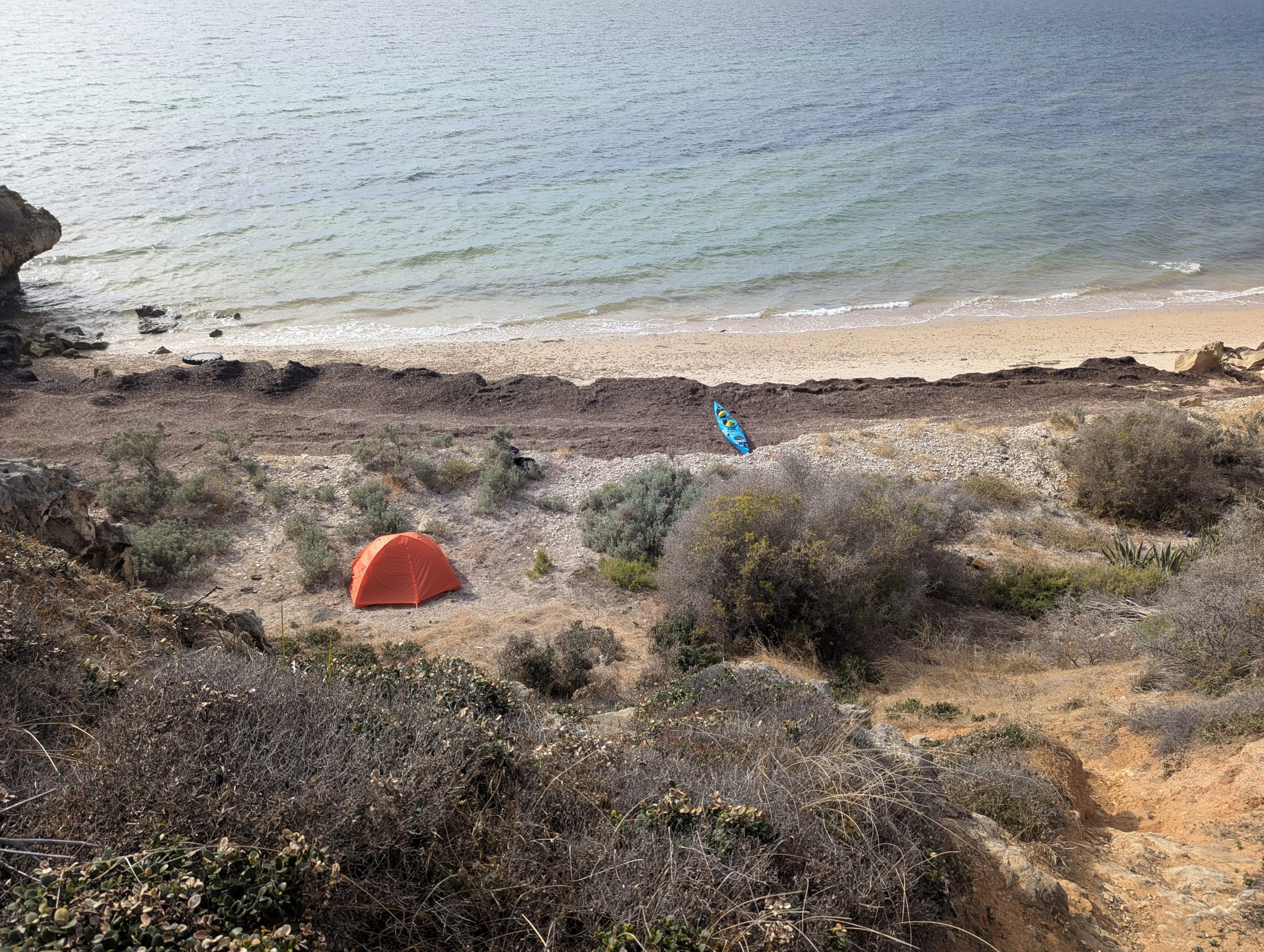
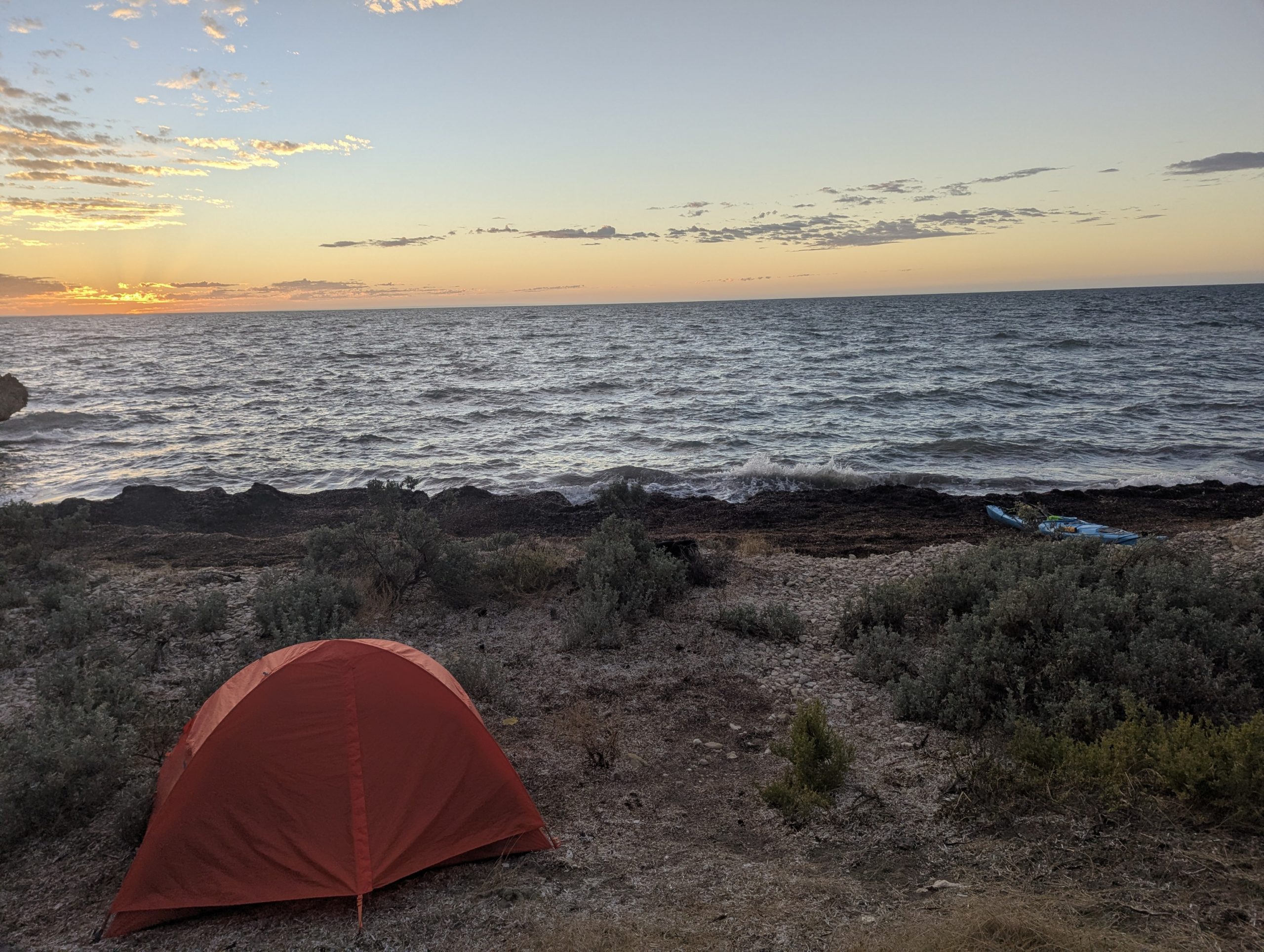
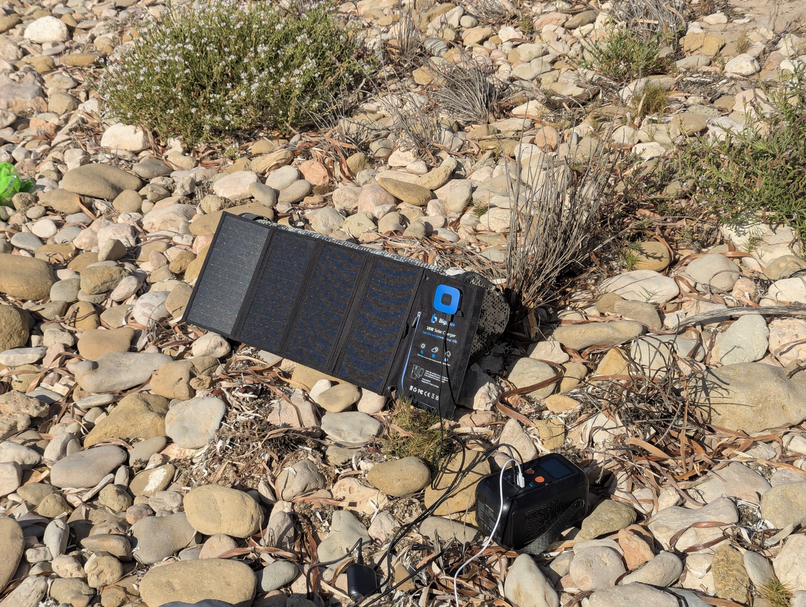
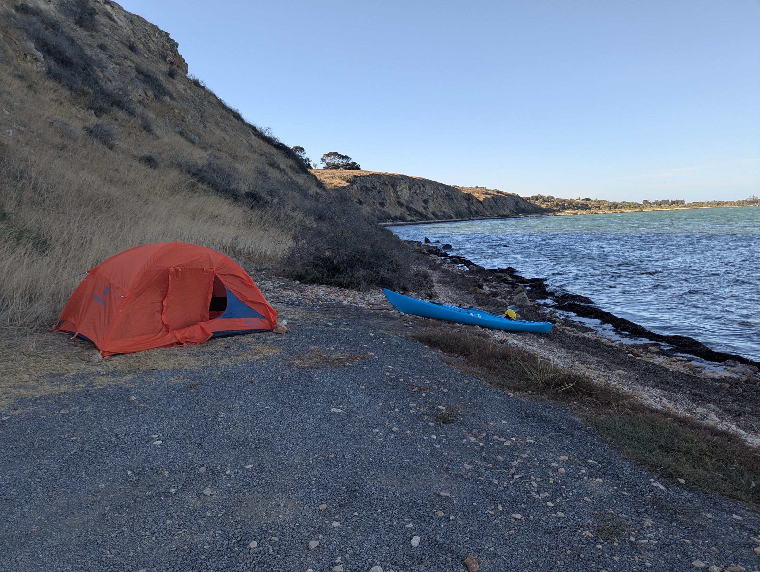
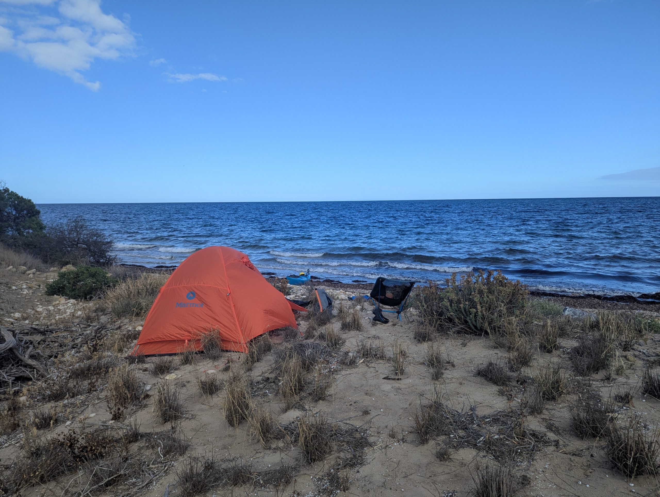
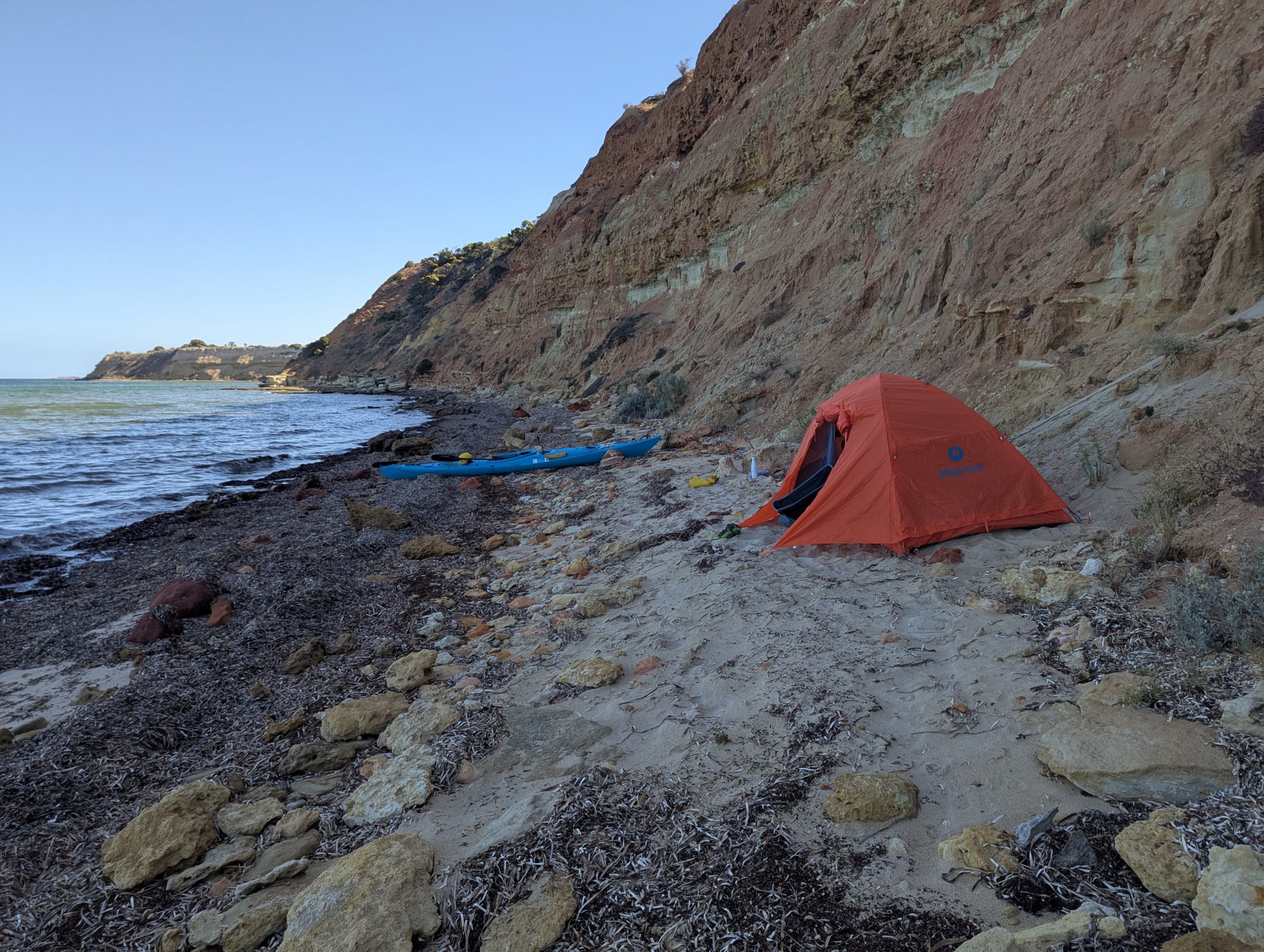
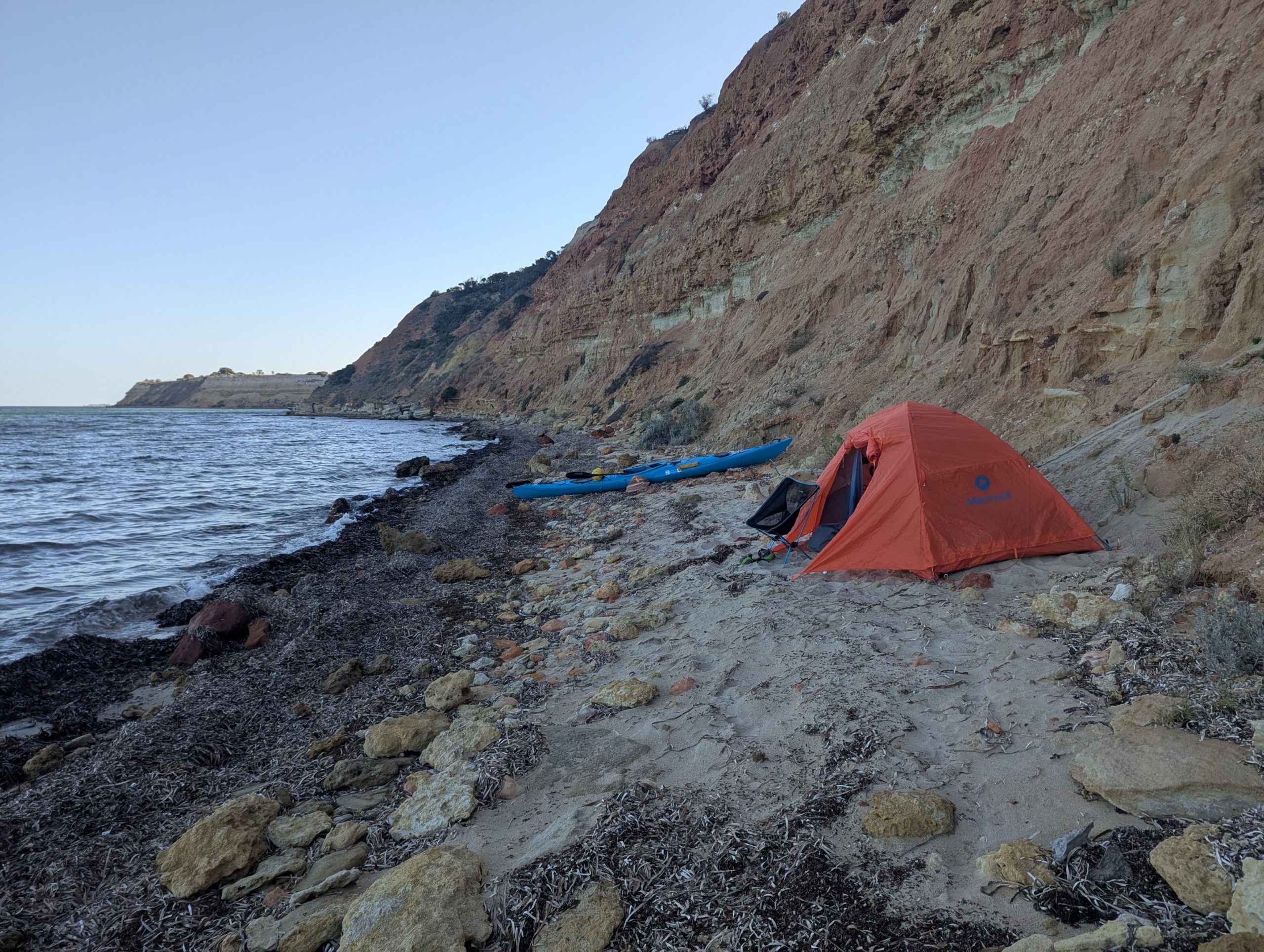
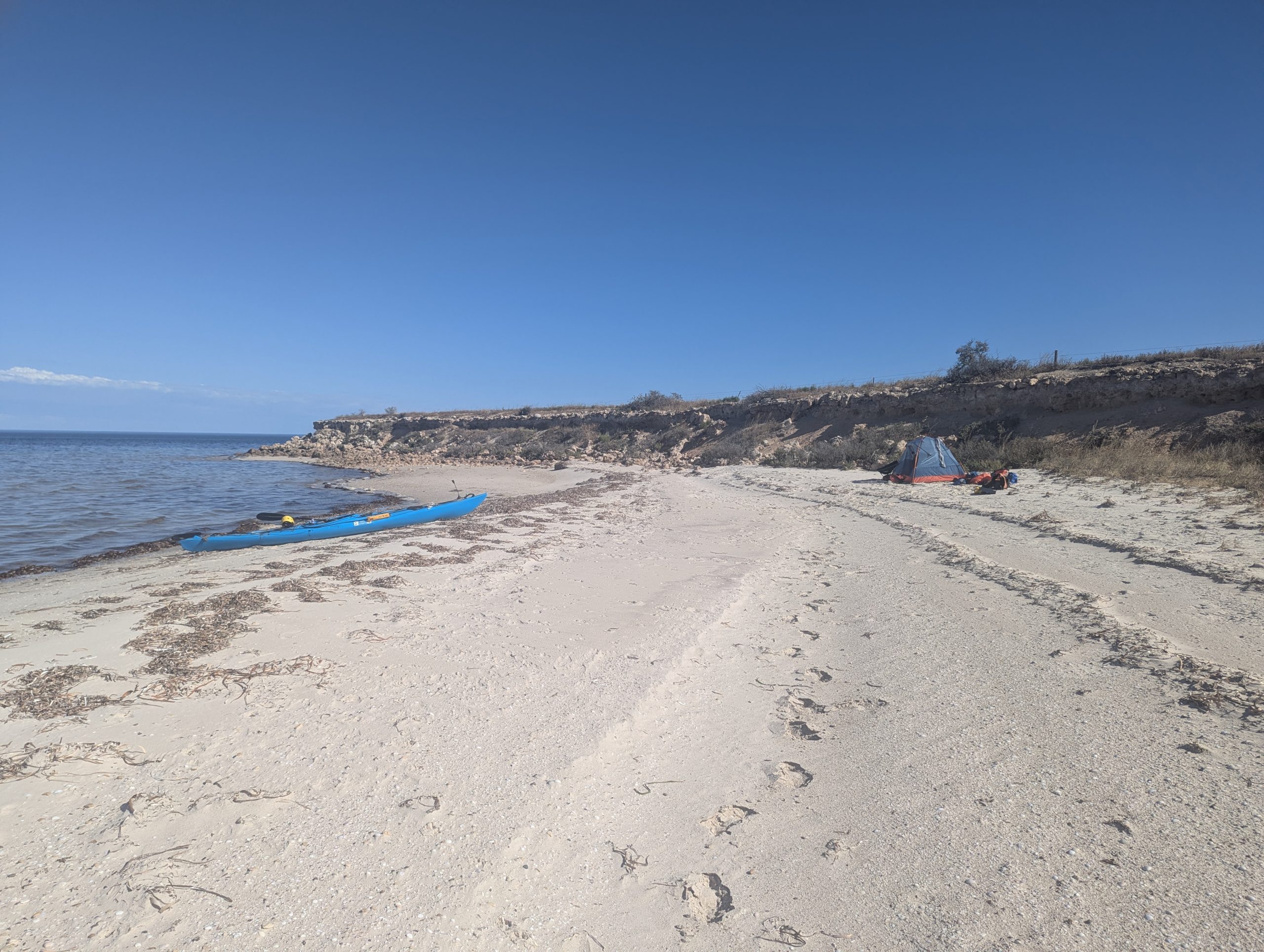
About 1km from Kemp Bay, I could see the road in the distance, there was a rock reef that protected the shore, making it easy to land in the swell, and as well make it easy to leave tomorrow morning. On top of the benefits here, I found a ledge up in the sand dunes that made a great campsite well above the beach.

Paddling through the most and rain, Troubridge lighthouse in the distance

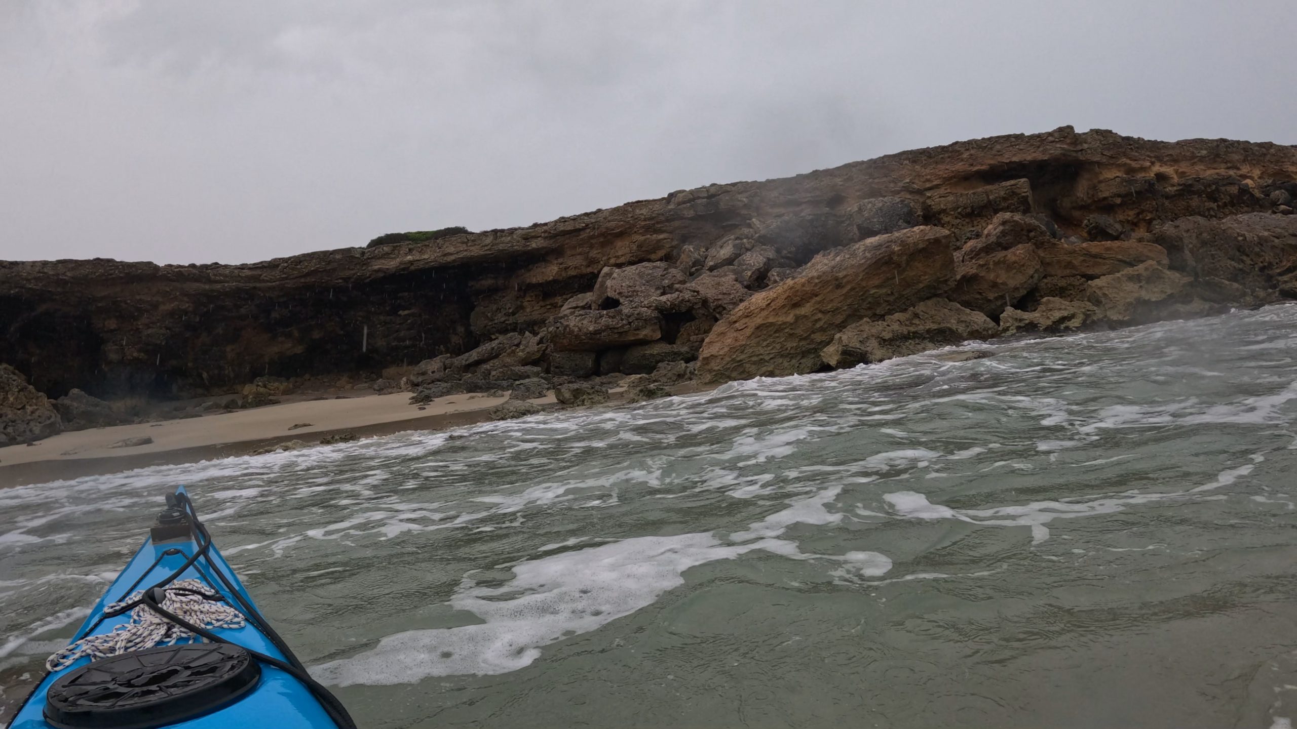
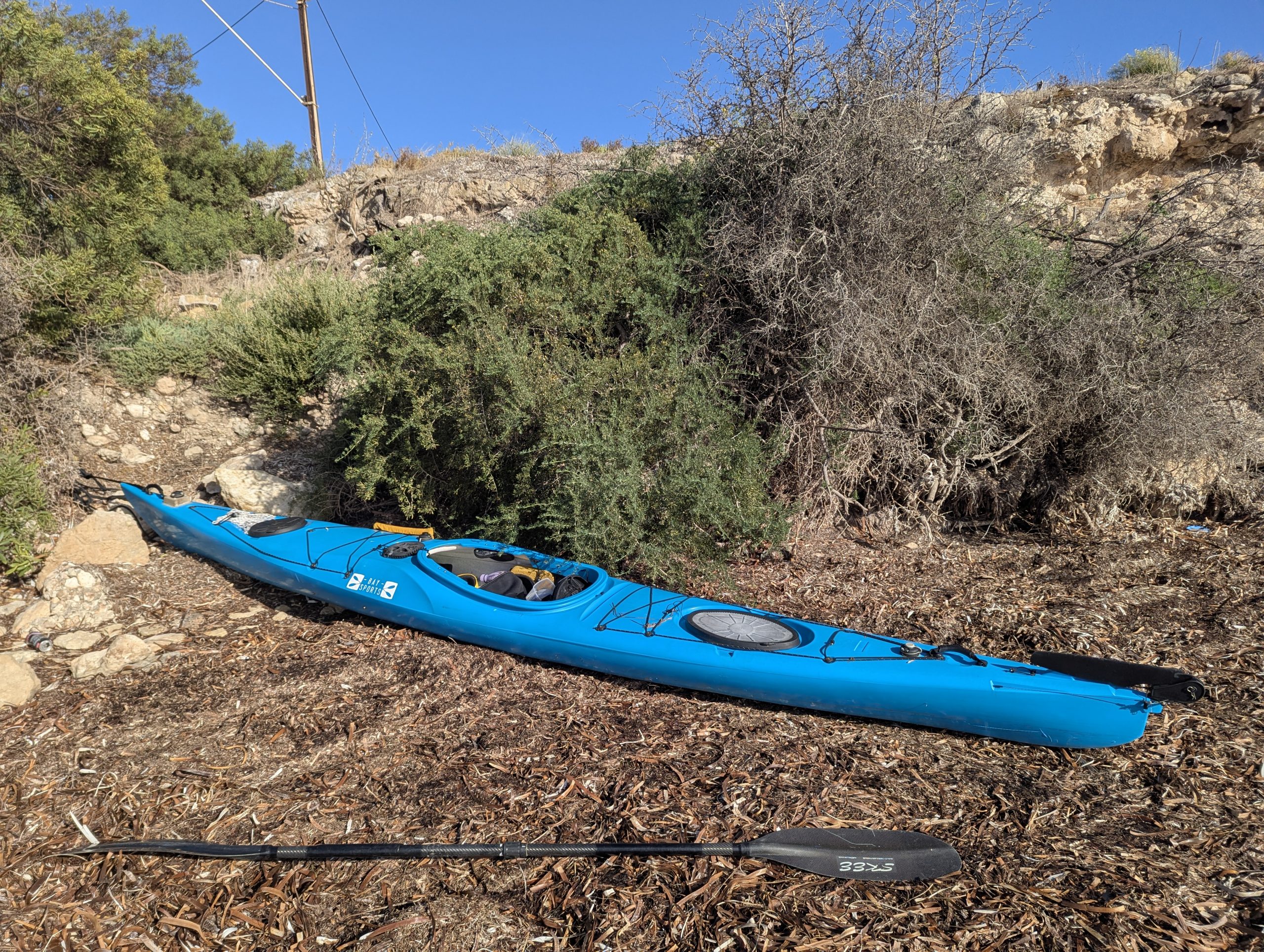
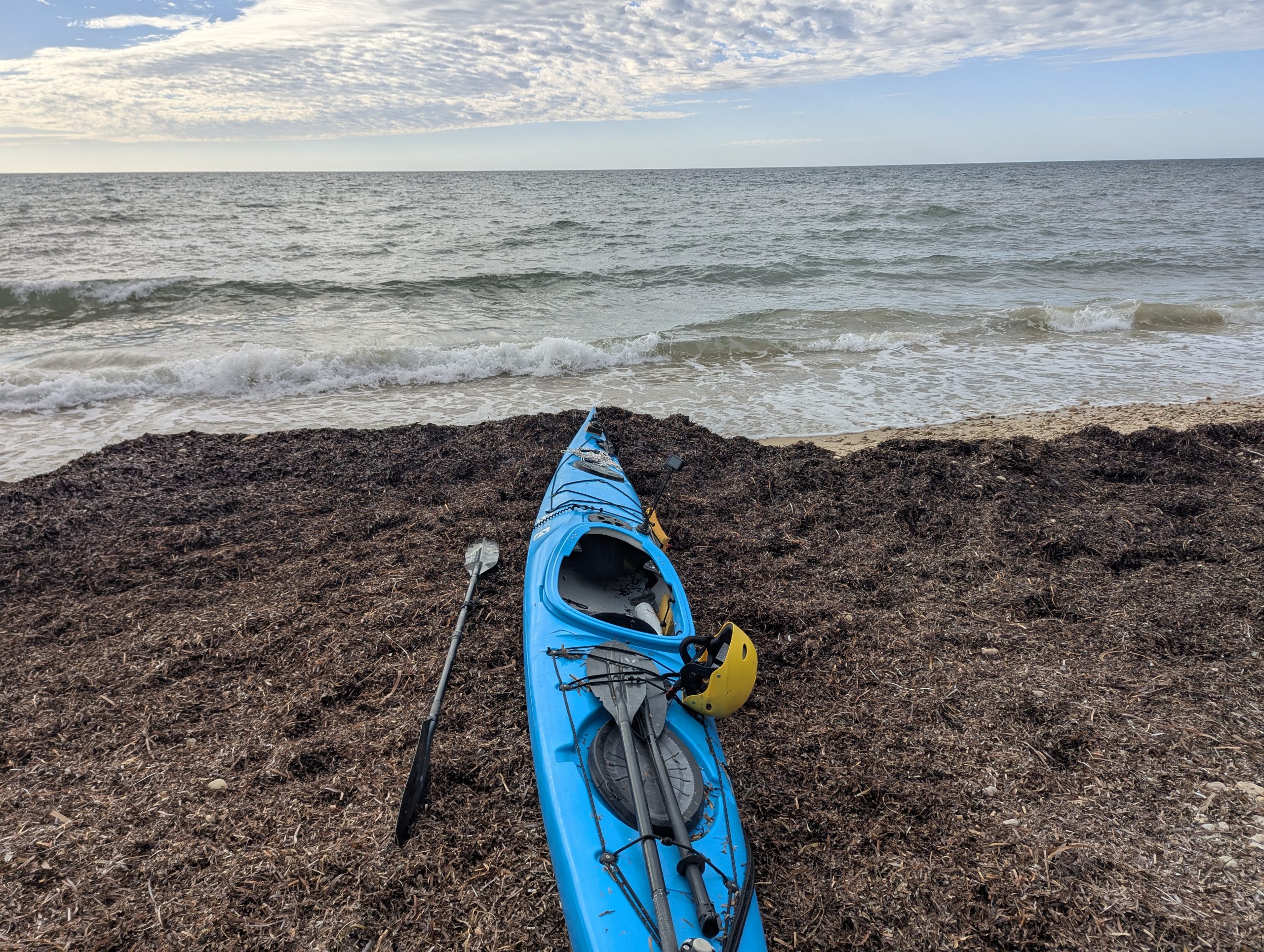
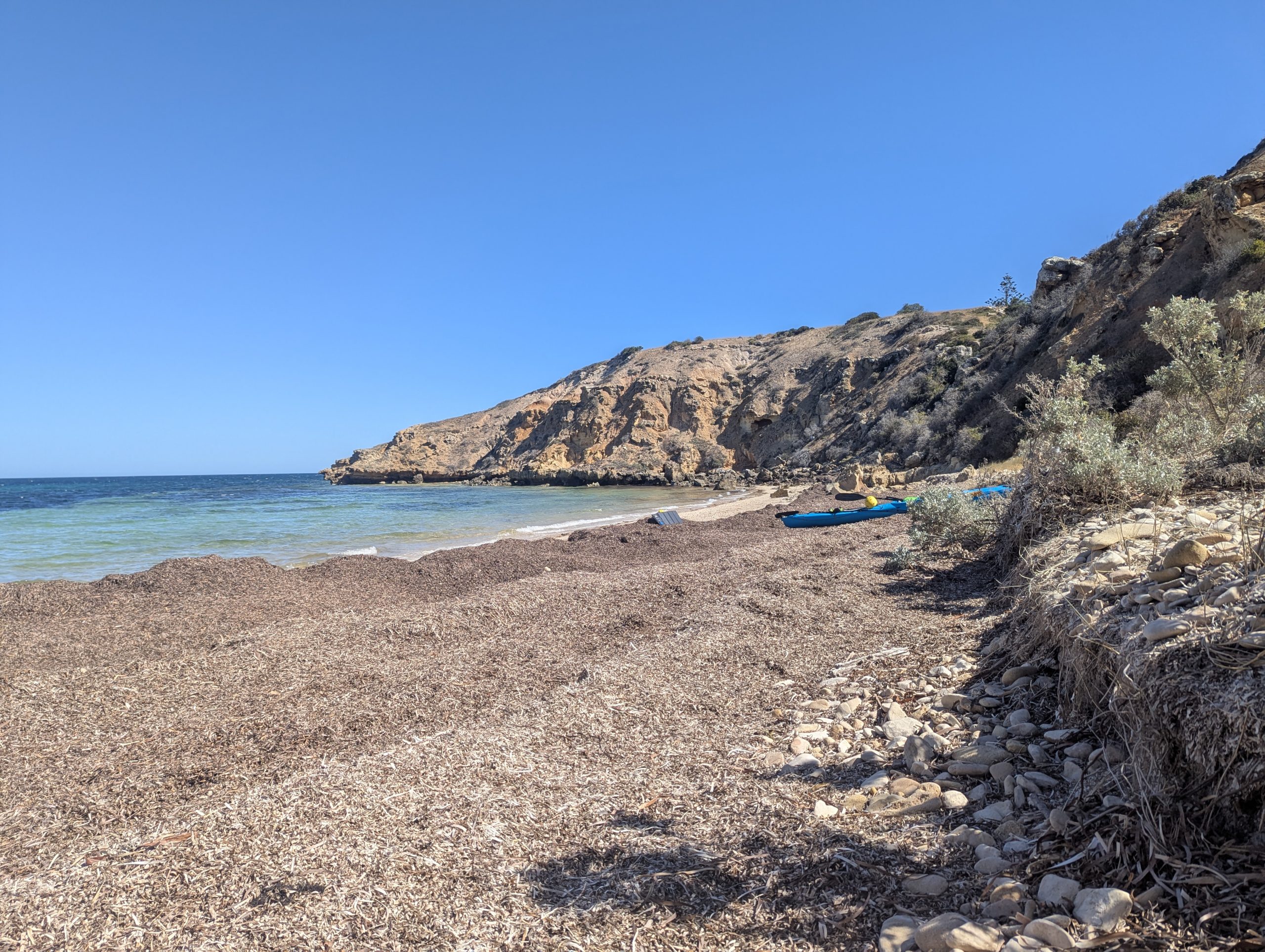
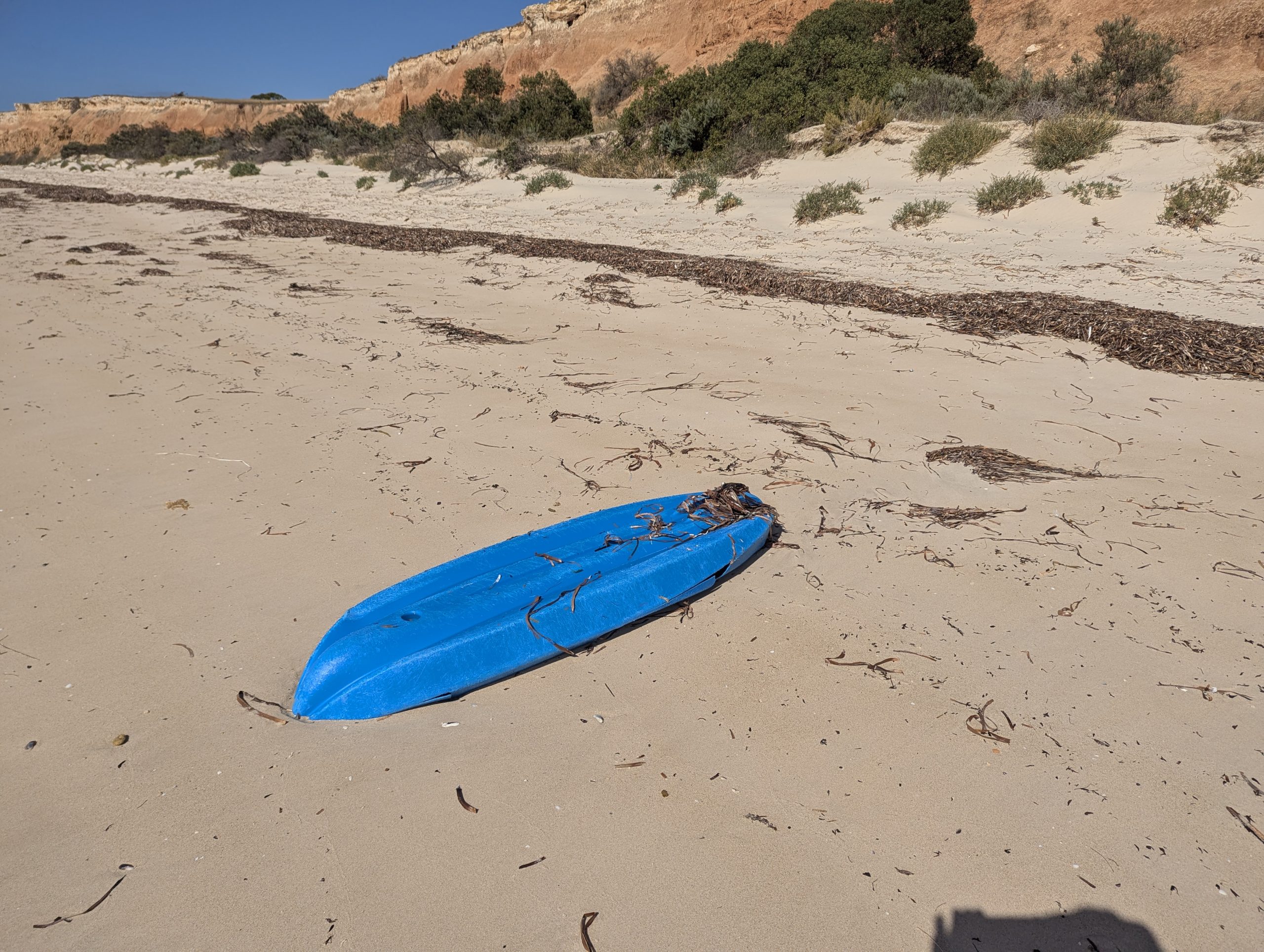
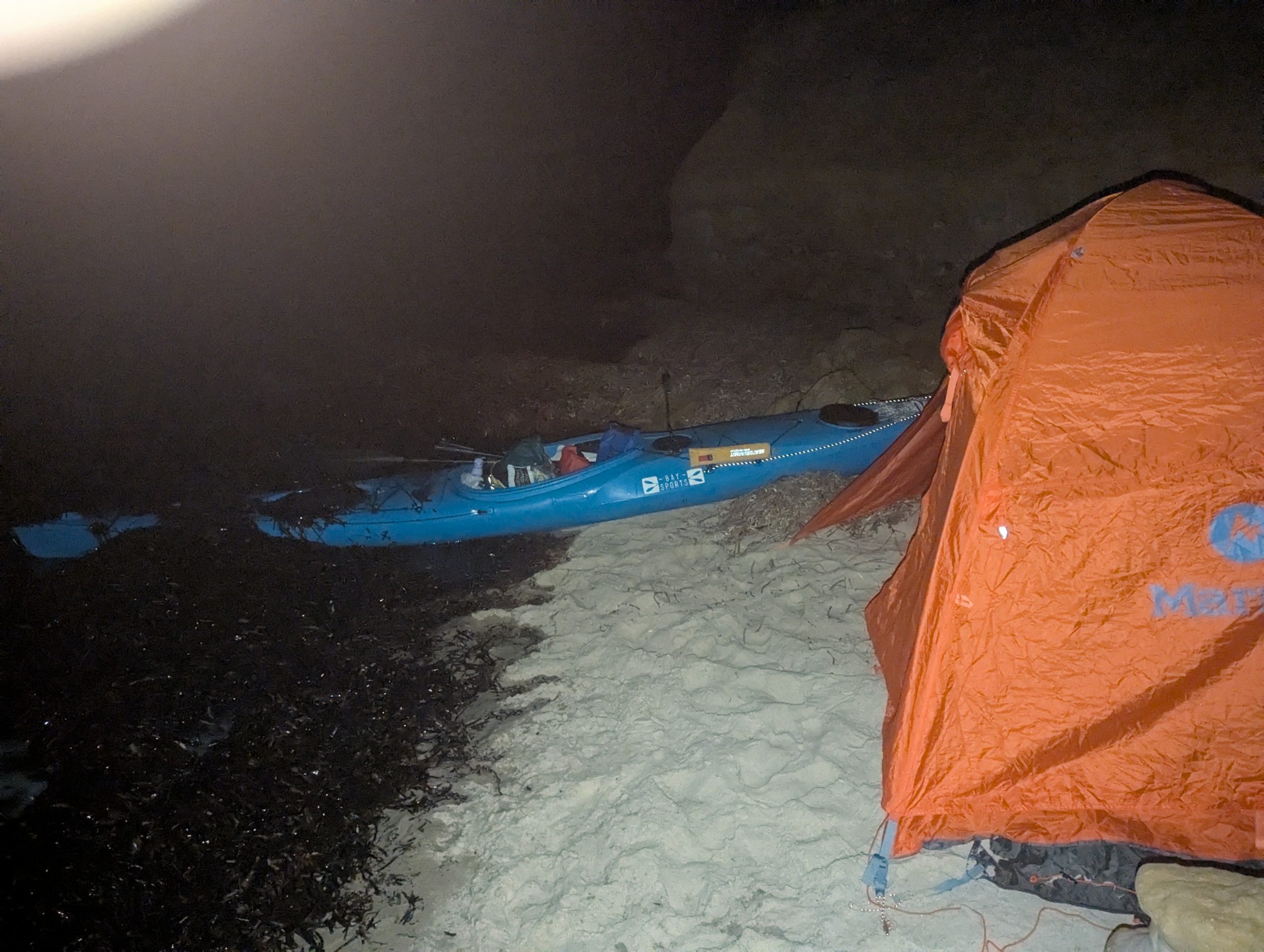
    Landing at the cave beach
Stopped at a beach and cave just before Troubridge Lighthouse
Ploughing through the wave that caught me leaving the cave beach
Two Dolphins when I left another beach
Camped 1km east of Kemp Bay


Edithburgh to Wattle Point

I spent four days at Mike’s place in Edithburgh while the wind blew. Eventually on Friday it had calmed down and I could continue on south. When Mike had finished his morning bus driving job he got back and we headed down to the boat ramp. I had less gear, because I had left some behind at Mike’s place. The weather window was only 3 days, after that it was going to blow again for another two days, and by then I would be out of time. So Sunday night was the end, and I only took enough stuff to last me to Sunday night.

I left the boat ramp and headed out into the bay. It was a bit windy, but a I could make good progress against it. I made it around Sultana point, and got into the protected water between the shore and the sand bar. I stopped for lunch on the sand at 1pm. I continued west past Wattle point campground. I was aiming for Goldsmith campground, but the water was too low so I stopped on the beach about 800m short.  I set up camp on the beach. The road is quite close, but I don’t think anyone can see me However I am very close to one of the wind generators.

Mike and I at the boat ramp
Me paddling past the fishermans jetty taken by Mike
Lunch spot west of Sultana point

Camped on the beach west of Wattle Point

Edithburgh

It was strange being in a caravan park after days camped alone on beaches. I was aiming to look for my dropped GoPro at low tide hoping it would be low enough at 11am. Also I had communicated with Mike an old friend who lived in Edithburgh, who was going to help me look. The tide at 11am was not low enough, so I would have to wait until 1pm. I tried looking then wading through the seaweed, and what I thought would be simple, was really hard. There was so much seaweed that if it dropped into it, it would be impossible to see. Mike came and looked, but in the rain we still could not see it. We went for a drive the along the South coast looking at where I wanted to paddle. It was pretty windy. Some bits are not bad, but the section around Troubridge lighthouse needs perfect weather. Next morning Mike came down with his trailer and we took the kayak and my gear to Mike’s house where I will be staying for a few days until the weather improves.

Kayak tied up near the fishermans jetty while I stayed at the caravan park.
Looking for the GoPro amongst the seaweed


Stansbury to Edithburgh

The sea was rougher this morning. I had breakfast,  packed and launched. It was a somewhat more difficult launch because of the waves, but after two attempts I got out.

Out in the water I had 0.5 m waves and some wind. I had to go out a couple of hundred metres because I had to get past the Klein point port and loading facility as they had a ship docked. I was travelling along cliffs there was nowhere to land. A bit further on I stopped at Wool Bay where there seemed to be a lot of people walking along the beach. I stopped at the boat ramp for a rest and stretch.

Onward south I went under the Port Giles jetty and loader, no ships docked here. I got to Giles Point, stopped for another stretch, ready for the crossing of MacDonnell Sound. It was about a 5km crossing of the sound, and I had to aim for something. So I aimed for a water tower that I thought was in Edithburgh, however I was to later find it was a long way from the caravan park I was aiming for. As I crossed the sound the wind picked up, as it does every afternoon here. I made it to the other shore to find I still had  2km to go to the caravan park. It was a difficult paddle against the wind, I estimated I was only doing 2kmh. I got to the other side of the boat ramp, and landed. I went to the office of the Caravan Park to see how close I could get a campsite to where the kayak was. They only had one free but I could get there via a back gate. So I paddled out again to get to the rear of the caravan park, when half way along my GoPro and mount broke off and disappeared into the water. I felt that maybe at low tide I could come back and look for it

I landed, and with a few trips transferred from my gear into the spot I was allocated in the park. I walked into the IGA in town to get some supplies. I was very, very tired, and I had very sore arms. Not many pictures because the GoPro is in Davey Jones locker.

Launching from on top of the thick seaweed
Stopped at Wool Bay
  1. The water tower I aimed for close up, great painting


Stansbury to Stansbury

I got up before dawn, since I was on the edge of a parking area, which I found out was called Pitts landing. I skipped breakfast and headed south to a beach that was about 2km away. I thought I would stop for breakfast there.  It was a bit choppy on the water, but I got to the beach. It was a slightly difficult landing as there was a big bank of seaweed on the beach, and it was a struggle to land because I hit the seaweed bank and started and taking on water.

It was a beach with an area behind it that I could camp on. So I decided today would be a rest day. I set up camp, has breakfast, and then climbed the almost cliff along a track that had obviously been used before. I got to the top, walked around 200m to find I was inside ABC mine and port area, with a prominent sign saying no camping. I thought it’s too late, I have put up the tent. I was very invisible down behind the beach.  I then walked the 5km into town along the Walk the Yorke track, the first part on the road, and then along the cliff track. I wandered around town, going to the IGA, and then getting lunch at the pub, where I also charged my camping battery pack. Mid afternoon I walked back to camp, and lounged around the rest of the day.

Camped behind the beach
View south along the beach. Lots of seaweed
The other side of the Gulf. It always surprises me how easy it is to see across, because it’s so much higher than this side.
Dawn


Deep Gully to south of Stansbury

  • It was a good night not having to worry about the tide, I was well above high tide. I woke up feeling very tired. I was slow getting going, not leaving until 10am. I think it would be good to have a rest day. I paddled south and after about a km I stopped to investigate a kayak that was broken and had been washed up on the beach.  I headed south thinking that Stansbury would be another difficult place to pass because of low water and sand bars. I did stop a couple of times looking for camp spots north of Stansbury but nothing was any good. I crossed the bay at Stansbury and met a couple of kayakers out in the bay, Michael and Meridith, who gave me lots of good information for the journey south. On their advice I headed out towards an oyster farm to bypass the sand bars, and eventually got past after about an hour. I was aiming for a beach a couple of km south of Stansbury, but the wind and waves built up, and I just couldn’t make headway. I stopped at a day use area and carpark, which I am probably not allowed to camp at but I did. I did about 17km today, still below my plans of 20km per day. I am looking out at the weather and early next week it’s going to get very windy just at the section which is most exposed. I may have to find somewhere to hole up for a few days.
I leave the solar panel charging the power bank as long as I can, last item to load in the kayak.
The broken kayak I found on the beach
  1. Leaving Deep Gully
    Paddling along the cliffs
    Approaching Stansbury
    Navigating the shallow water out from Stansbury

    Camped on the edge of a car park south of Stansbury


North of Port Vincent to Deep Gully

I survived another night and high tide jammed against the cliff. I think I was lucky that when high tide happened at 6am it was flat calm. If there had been waves I think my tent would have been under water.

I got going by 9:15am on a very calm ocean. It was 6km down to Port Vincent. I passed by the Port Vincent Marina, it didn’t have many boats in it. I think boating around here would be hard. The tides are about twice as high as the other side of the gulf, and when it’s low tide it’s very, very shallow, that even a sea kayak has problems getting around. I landed at Port Vincent and found the water tap and loaded more water. I then went to the local IGA and got some banana’s and an apple ( I just couldn’t fit things like that in my kayak).

  • I got going again and then spent a frustrating hour trying to get around the low tide exposed areas east of Port Vincent. Eventually I got south of it. I stopped for late lunch just south of Port Vincent. I headed south and stopped in at Devil Gully which has a shelter for the Walk the Yorke. It was a good beach but I kept going for another 2km to Deep Gully. Camping wasn’t fantastic, but at least I got get well above the high tide mark. I did 15km today. I planned this trip thinking I could do 20km per day, but I am way behind schedule already.
Surviving another high tide on a tiny piece of beach
The cliffs just south of where I camped
Out from Port Vincent trying to navigate the shallow water
Camped at Deep Gully


North of Port Julia to 6km north of Port Vincent

It was a good beach camp, high tide was several metres away. However when I got up at 6am it was very windy. It was a northerly wind, expected to last a few hours, so I thought I would quickly get down to Port Vincent.

I launched a bit before 8:30am, and as soon as I got around the headland I hit a strong southerly wind. So much for the weather forecast. It was so strong that I was getting nowhere, so I pulled into the beach for a while. The wind moderated a bit so I paddled to Port Julia. When I got close I could see a rainwater tank connected to a building near the jetty so I took four water bottles with me to investigate. No luck, no tap. So I walked down the other end of the jetty car park towards some houses. The first two were deserted, but on the third largest one I could see a lady sitting on the balcony and I called out to her. After telling her I was  sea kayaking down the coast she said I could fill up my 4 bottles. I thanked her and my water problem was solved for another day.

I then paddled south against the strong wind, going pretty slowly. It rained on me for a period. At Sheoak Flat I had to detour a long way out to get past the shallows. I really wanted to stop, the wind was unrelenting. A couple of km south of Sheoak flat I spied a little bit on sand under the cliff. It looked ok that I could ride out high tide the next morning. So I unloaded everything and set up camp around 3pm. I did a total of 10km, another poor effort!. I am having some doubts whether I am high enough up where I am camped, but I will find out tomorrow morning at 6am.

Paddling in the rain
  • Looking for campsite along the cliffs
Another campsite jammed against the cliff hopefully above high tide
The tide getting closer
High tide at 6:30pm. High tide will be 0.5m higher at 6am.


South of Rogues Point to North of Port Julia

I work up to an alarm at 5am to check how high the tide was. It was less than metre from the tent, higher than I expected. Especially when I had a cliff behind me and water left and right. I packed a few things in dry bags in case I had to pull down the tent, but it was ok. A close call  I cooked breakfast and got on the water by 9am. I did about 3 hours to Blacks Point where it was low tide and to hard to get to shore, so I sat in the kayak in the shallows and had a rest.

I then paddled about 1km out from Blacks Point to get past the spit that extends out. It was about a 4km paddle south west to a beach that I hope is high enough and wide enough to keep me dry tonight. I finished at 3pm, I was pretty tired.

I need to get down to Port Vincent tomorrow, as I am running low on water.

5:39am high tide
Dawn
Approaching Blacks Point
Camped north of Port Julia


Ardrossan, the start

  • I left Willunga Saturday morning 14th Feb, after some poor navigation I got to Adrossan around 2pm. It was very windy. I went down to the boat ramp, and there were whitecaps out there and the forecast had it gusting at 50kph. I decided today was not the day to start, so I went to the Adrossan caravan park and got an unpowered site for $32.
    On Sunday morning I cooked breakfast, packed up the tent and got to the boat ramp at around 8:30am. I didn’t really have a good launch spot. I dragged the kayak on a mound of seaweed. I packed up the kayak which is always hard the first time. As well I had lots of food, 19 days worth. I had stuff jammed everywhere including some at my feet in the cockpit. I drove the LandCruiser to the storage facility where it was going to sit for 3 weeks, about 1.5km away. I left the LandCruiser and walked back to the kayak.

The tide was dropping, the kayak was very heavy and it took me 30 minutes to drag it out to the retreating sea. I got to the water. I was really worried I had overloaded the kayak, and I feared it would not float. However it was fine and sat in the water as normal.
I headed out finally at 11am. Water was very shallow, I had to keep a fair way out to keep afloat. I stopped for lunch at 12:30pm, but the wind was picking up coming from the south east as an almost head wind. I got going but about around mid afternoon I decided I would pull in for a rest. By the time I landed the wind had gotten worse, so I thought I would look for a campsite, around 1km south of Rogues Point. I had only done 10km which was poor.
There were really not many good campsites. I walked up and down until I found a piece of sand next to the cliff. I had a high tide at 6:20pm, and an even higher one at 5:39am. I think it’s going to be ok. I will be getting up at 5am to make sure all is well

The seaweed covered launch spot