|
| |
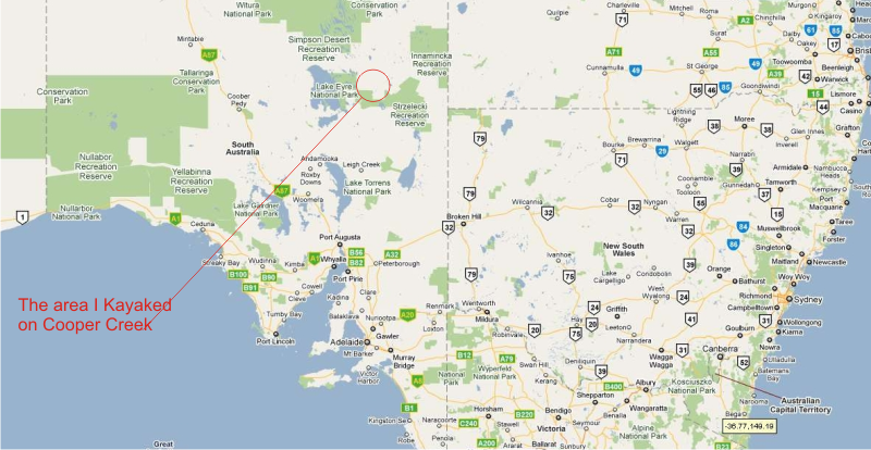
August 2010 - Coopers Creek was flooded, and the Birdsville Track had been cut. This was a chance to paddle on the flooded coopers creek. The last time Cooper Creek had flooded was 20 years before. Coopers Creek flows from outback Queensland into Lake Eyre.
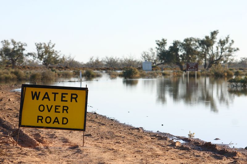
The Birdsville track. Cut by a 4km wide flood. The alternative flood bypass road was opened. |
 |
|
|
. 
Camped on an island for the first night on coopers creek. The water around the island is only about 60cm deep. . |
|
Paddling through the flooded creek was difficult, as there was a maze of trees, bushes and islands to work around.
|
|
|
|
. 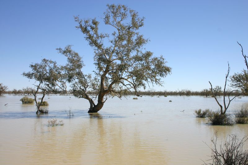
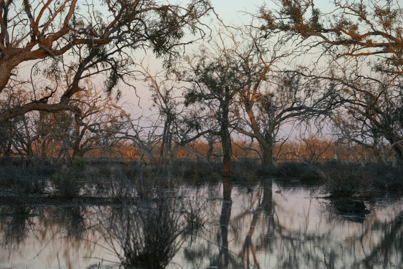
An area of cooper creek more open, less trees, more water. |
|
. 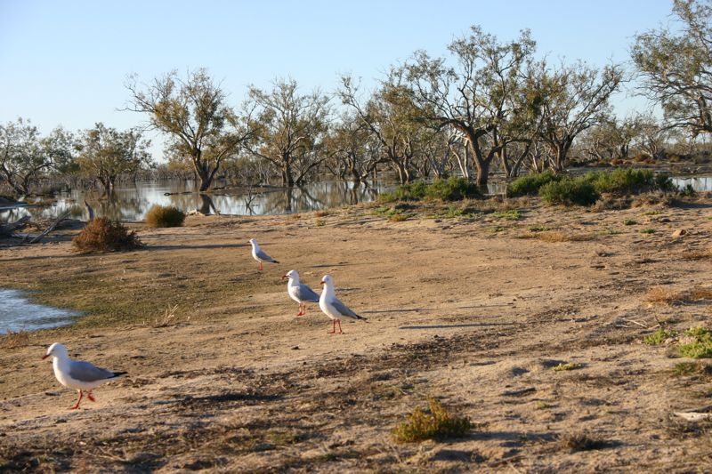
It might be 500km to the nearest sea, but there were Sea Gulls on Coopers Creek. There is lots of birdlife. Many ducks, and wedge-tailed eagles.
|
|
. 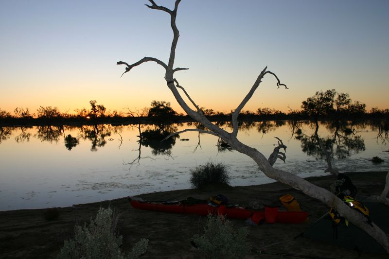
I spent 4 days paddling around coopers creek in my plastic sea kayak.
|
|
| |
|